Distance: 3.8 km
Duration: 80 min
Elevation: 215 m
TAG
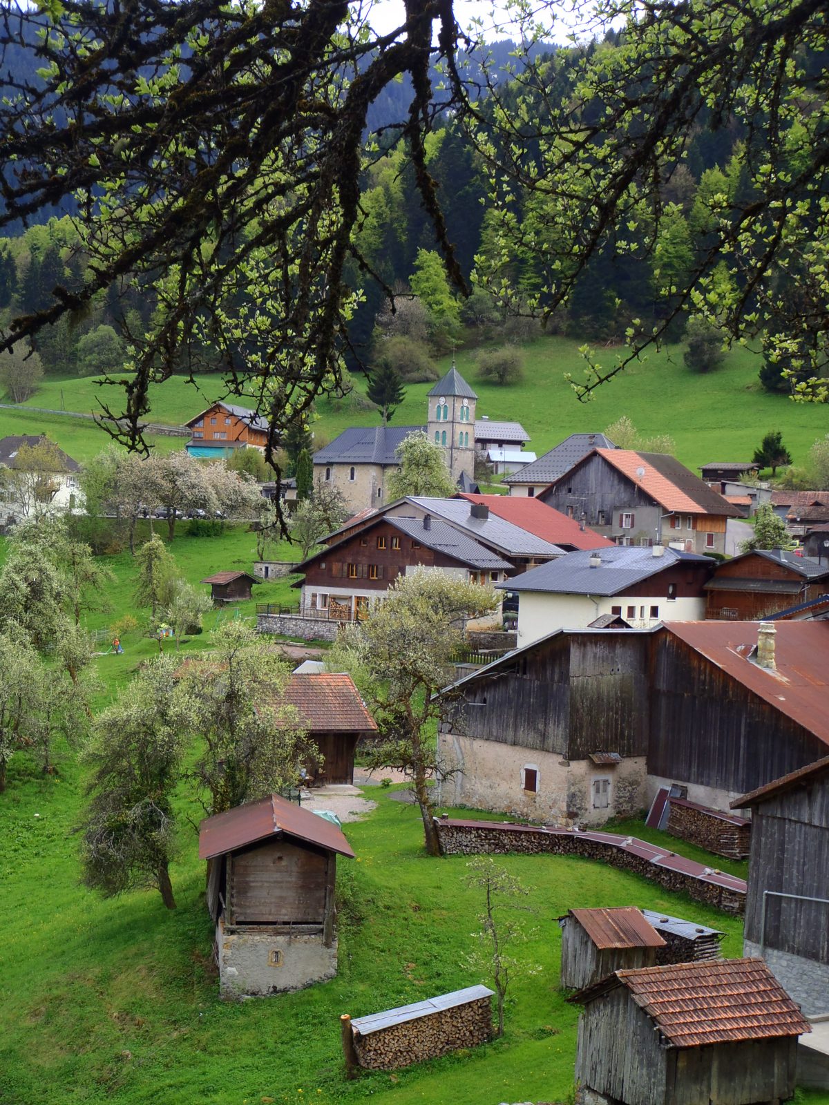
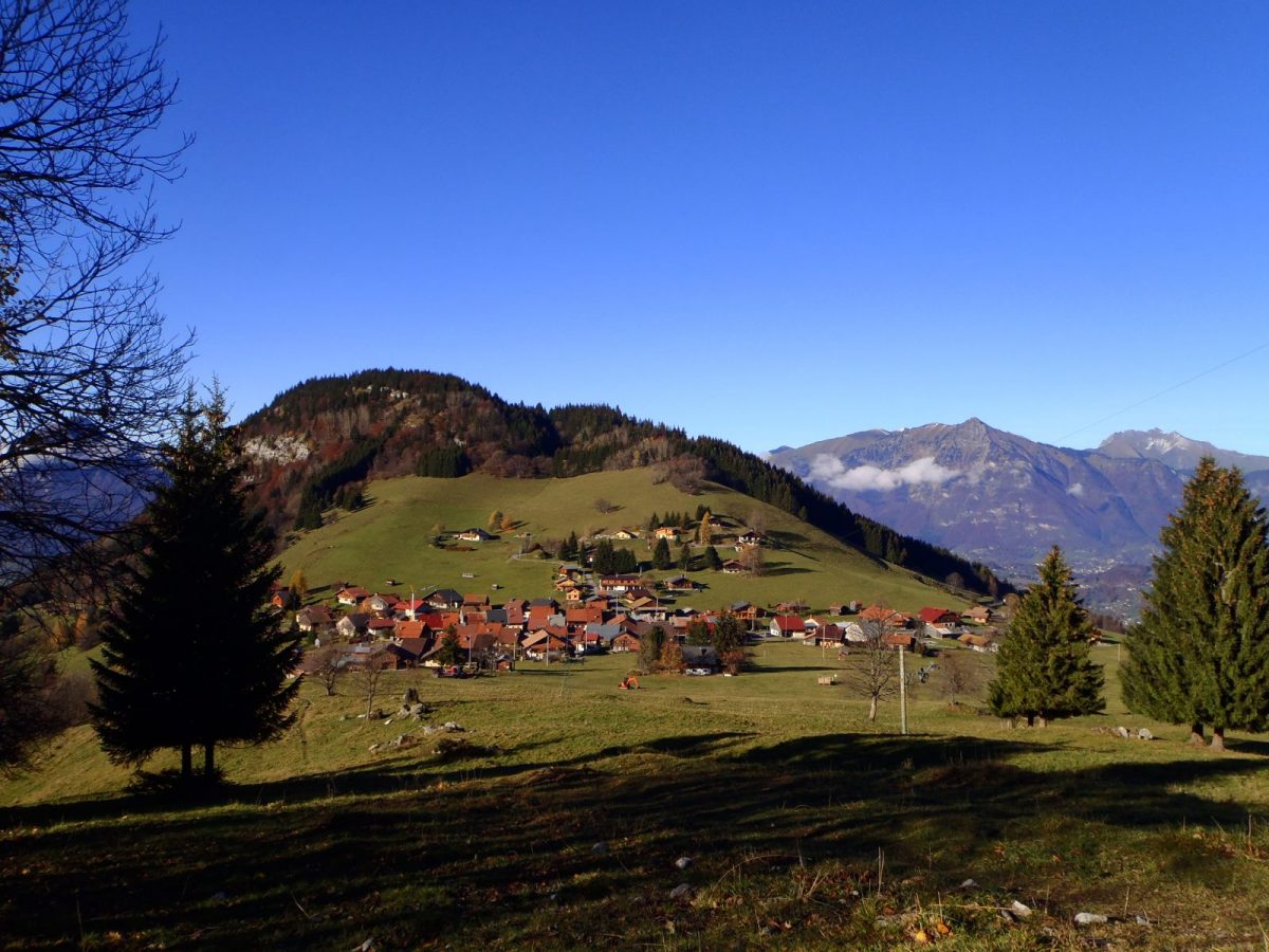
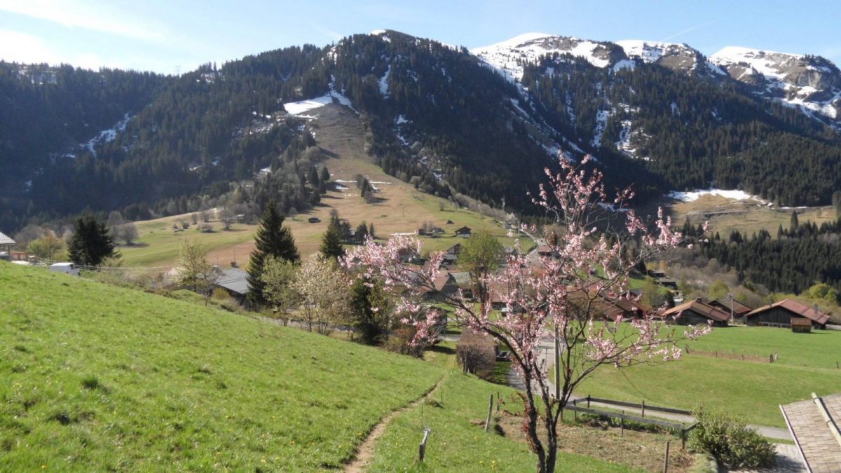
Walk to discover life in the forest and a hamlet like that of Romme. With a departure from the center of the village, this hike is accessible both in summer and in winter. Snowshoes are therefore recommended during snowy periods.
Topo / step by step
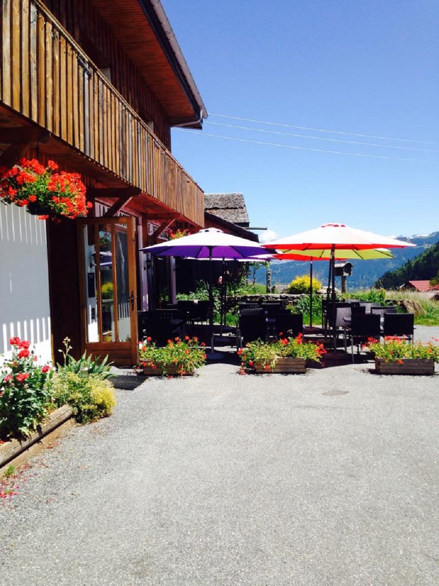
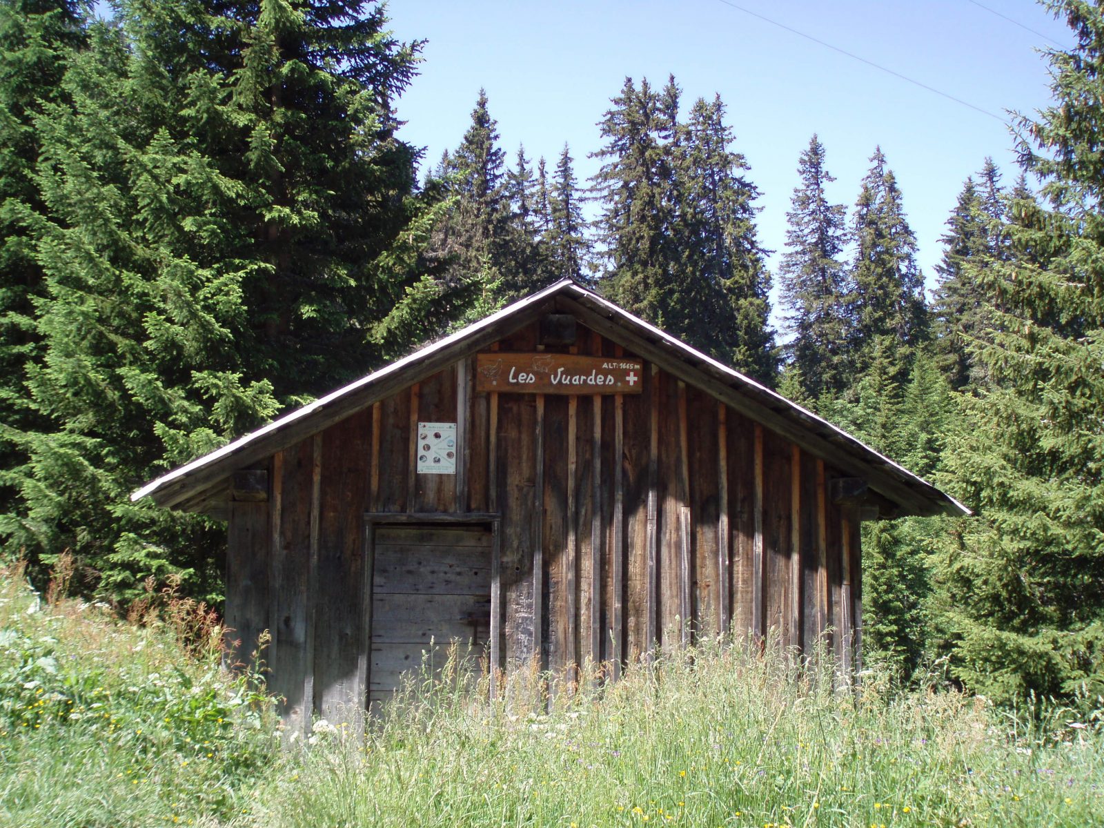
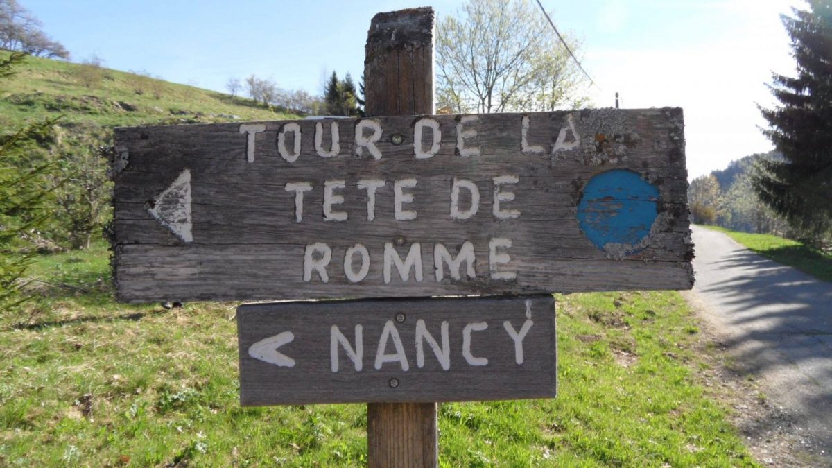
From the ski lodge to the forest: 20 minutes Cross the village to the chapel which is located in the middle of the hamlet. At the chapel, follow the direction “Tour de Romme” to the right for 1 hour. The road climbs and passes next to the restaurant “La Rebloche”. 200 meters higher, take the road to the right at the intersection then immediately take the path that heads left following the direction of “Tour de la Tête de Romme”. The markup is then made of wood with blue paint. Cross the fields following the path. Before the forest, follow the direction on your right “Tour de la Tête de Romme par Charvet”. Bypassing the Tête de Romme by Charvet: 20 minutes The path takes you into the forest and from there, the climb becomes easier. The path will then turn to the left to go around the Tête de Romme and around this mountain. Follow the blue arrows and the blue and red paint marks on the trees. Take advantage of the unobstructed view of the Cluses valley. At the next intersection, continue downhill to the right following the indication “Tour de la Tête de Romme” (the trees are marked with the numbers 12-13). You are at a place called Barme Rousse. Return to the foyer via Les Straps: 40 minutes The descent then becomes steep for 300 meters to the next intersection. This is the main difficulty of this walk. Then follow the path on the left marked “Tour de Romme par les Straps” (marking the tree with the number 14). The path is flat and climbs several times. Follow him ; it then becomes narrower and descends. You will have a beautiful view of the village of Le Reposoir before arriving at the top of the village of Romme. At the wooden post which bears the indication “Tour de Romme par les Straps”, continue straight ahead crossing the fields to reach the village.
Route
From Cluses, take the D119, direction Nancy-sur-Cluses. Cross the capital, and continue on the D119, up to the Col de Romme. When entering Romme, park in the car park opposite the ski center.
In detail
- 46.03021
- 6.575464
- From Cluses, take the D119, direction Nancy-sur-Cluses. Cross the capital, and continue on the D119, up to the Col de Romme. When entering Romme, park in the car park opposite the ski center.
- Distance: 3.8 km
- Markup: BALISE
- Positive elevation: 215 m
- Vertical drop: 215 m
- Daily duration: 80 min
- Route type: LOOP
- Marking precision: Path marked with directional posts (PDIPR)
- Type of land: Earth
- Nature of the ground: Gravel
- Nature of the terrain: Not suitable for strollers
Opening
From 01 / 04 to 15 / 11.
Prices
Free access. Topo rando on sale at the Tourist Office.
Equipments & services
Equipments
- Picnic room
- Public toilets
- Picnic area.
Services
- Pet Friendly
- Catering