Distance: 3.6 km
Duration: 60 min
Elevation: 132 m
TAG
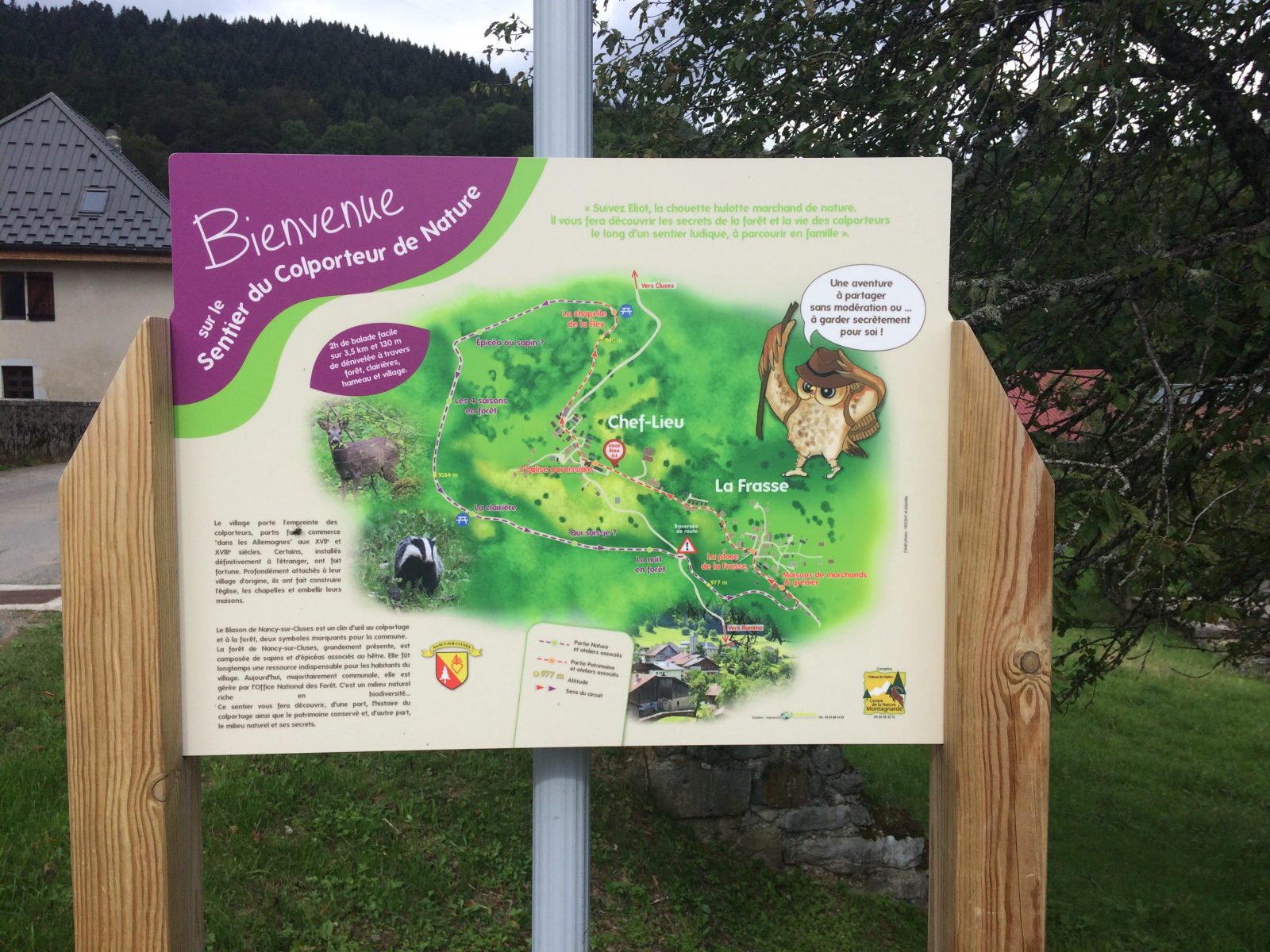
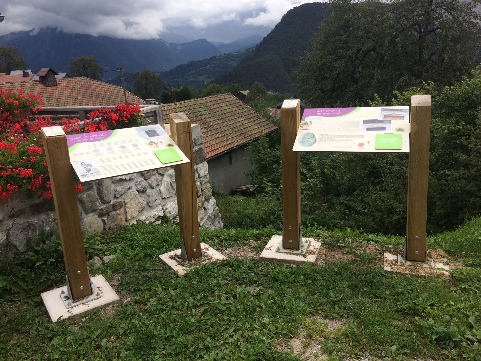
Discover the heritage, fauna and flora through 10 explanatory and fun panels placed on your way. Follow Eliot, the tawny owl, who will introduce you to the secrets of the forest and the life of hawkers.
Tips and Suggestions
Itinerary partly accessible by stroller.
Topo / step by step
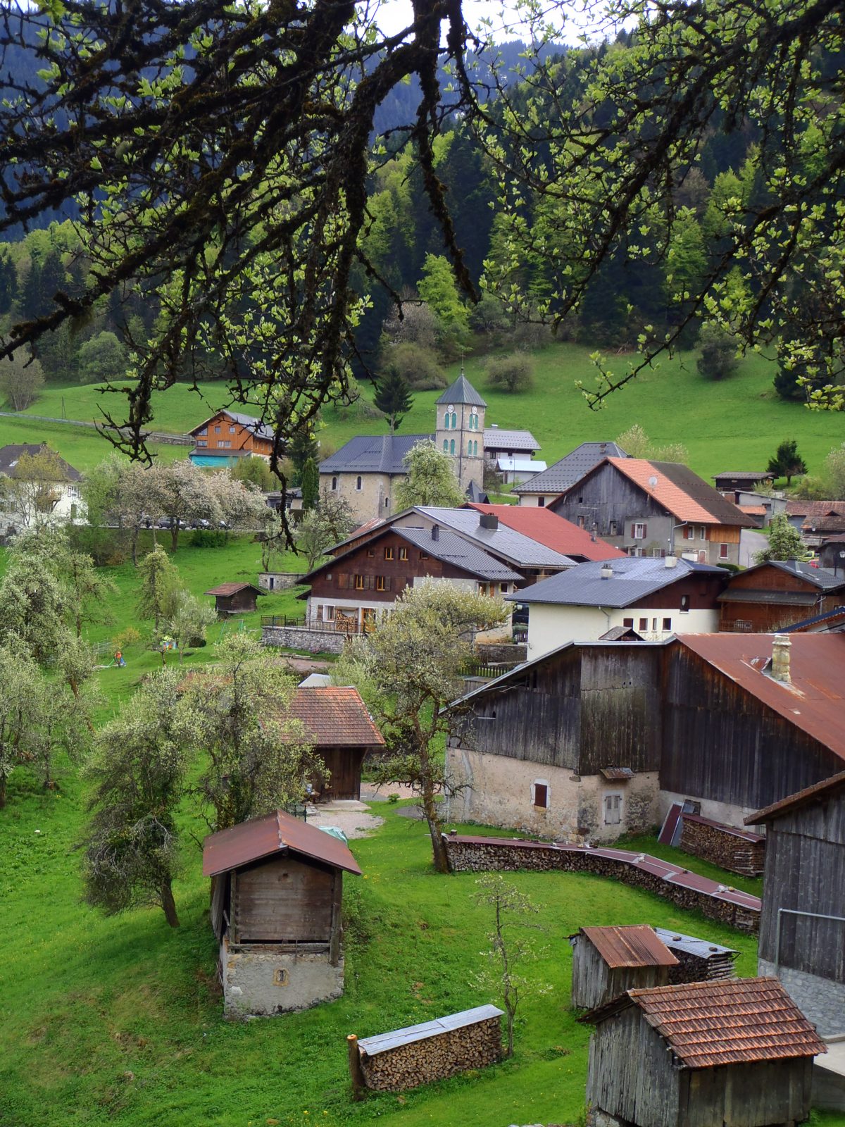
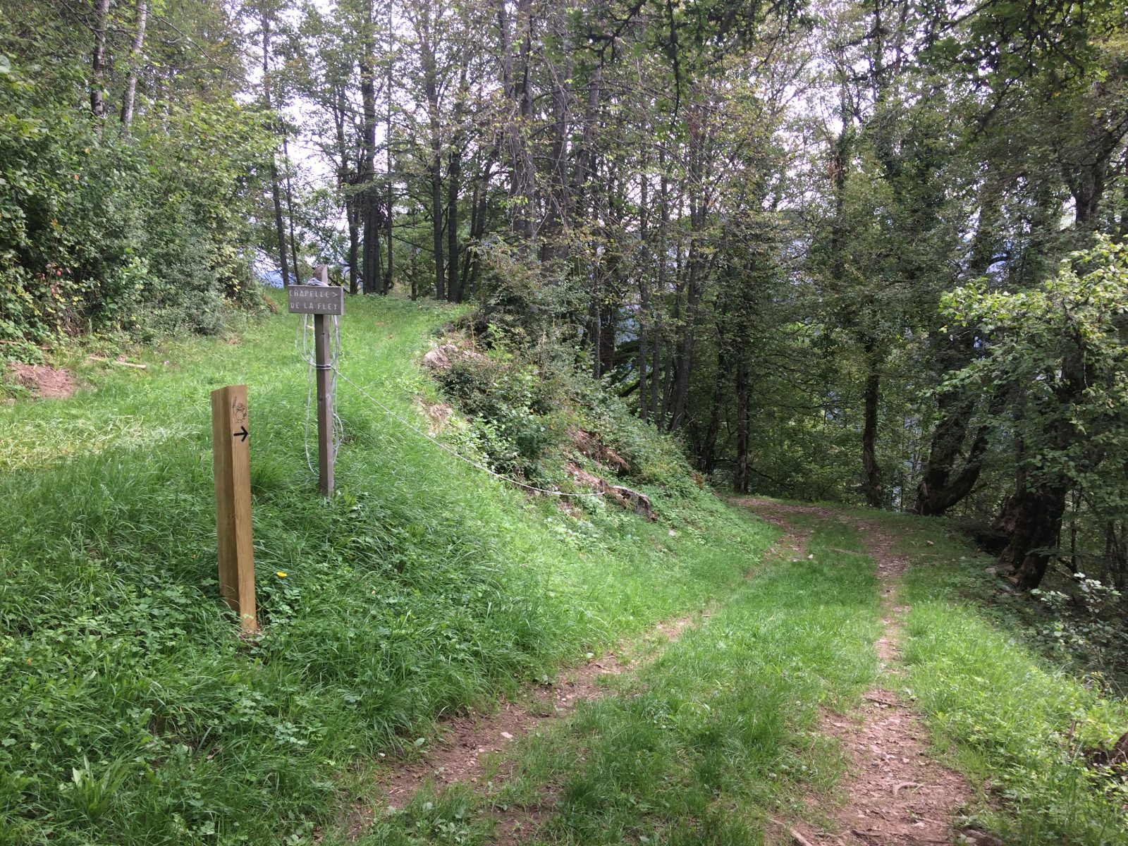
Town hall – Chapelle de la Fley: 10 minutes From the town hall of Nancy-sur-Cluses, take the road that comes from Cluses. Before leaving the village, follow the small road that goes to the left, following the sign "La Chapelle Tour des Crêtes". The paved road then becomes a path overlooking the village, continue on this one to the chapel de la Fley following the posts of La Chouette Eliot. (do not continue straight). After the climb, at the crossroads, turn right. Continue to the electricity pylon and enjoy the unobstructed view of Cluses on your right. You arrive at an intersection, then turn left following the direction of Nancy by the Crêtes (yellow paint).Cross a field and resume the climb for 45 meters.At the intersection follow the motorable road to the left taking the direction of Nancy (yellow paint).Go down until you reach the departmental road that you cross to follow the direction "le Moulin". Continue your descent on the paved road to the houses. From there at the crossroads, turn left to reach the village of La Frasse. You will successively pass in front of the remarkable restored attic, old peddlers' houses with the number 200 decorating the top of the doors, the twin ovens and the Frasse chapel. From La Frasse to the town hall: 100 minutes After the chapel, continue on your right to reach the car park and the Church of Nancy-sur-cluses.
Route
From Cluses, take the D119, direction “Nancy-sur-Cluses”. Then go to the town hall parking lot, in front of the church.
In detail
- 46.043051
- 6.57923
- From Cluses, take the D119, direction “Nancy-sur-Cluses”. Then go to the town hall parking lot, in front of the church.
- Distance: 3.6 km
- Markup: BALISE
- Positive elevation: 132 m
- Vertical drop: 134 m
- Daily duration: 60 min
- Route type: LOOP
- Marking precision: Wooden panels at the beginning. Path marked with directional posts (PDIPR)
- Type of land: Earth
- Type of land: Hard surface (tar, cement, floor)
- Nature of the ground: Gravel
- Nature of the terrain: Not suitable for strollers
Opening
From 01 / 04 to 14 / 11.
Prices
Free access. Topo rando on sale at the tourist office.
Equipments & services
Equipments
- Parking
Services
- Pet Friendly