Distance: 5 km
Duration: 105 min
Elevation: 156 m
TAG
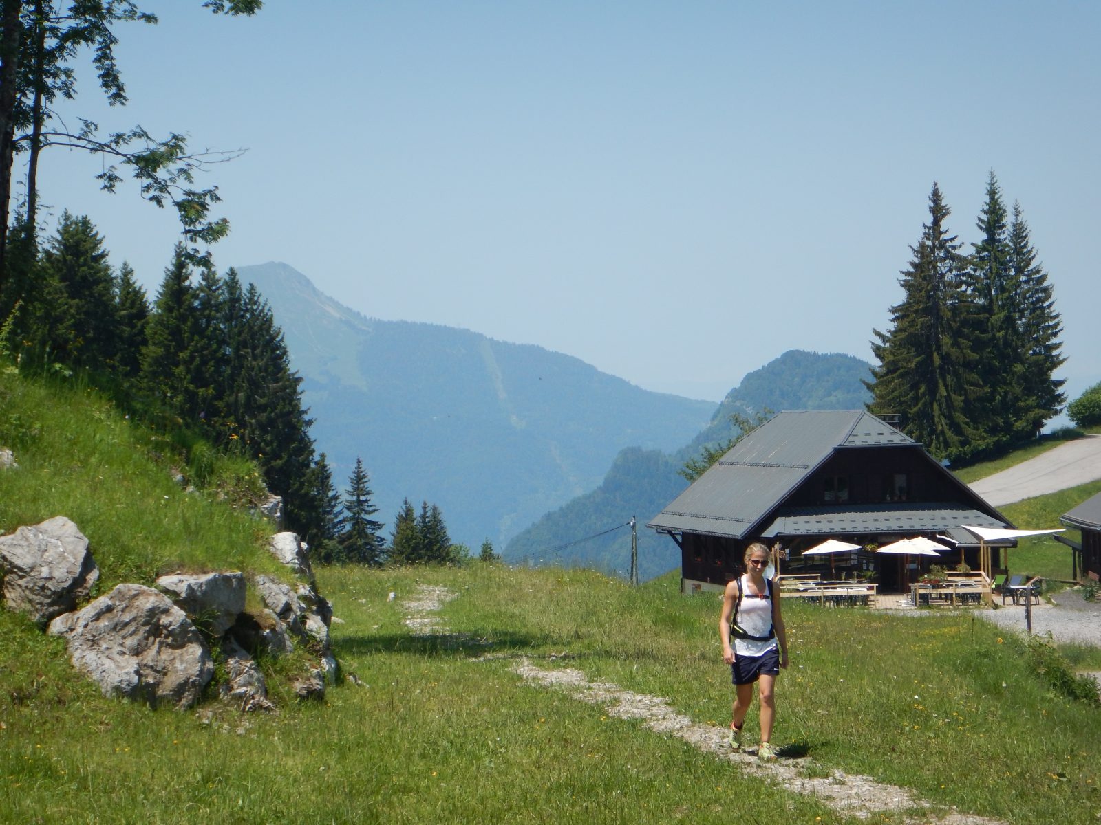
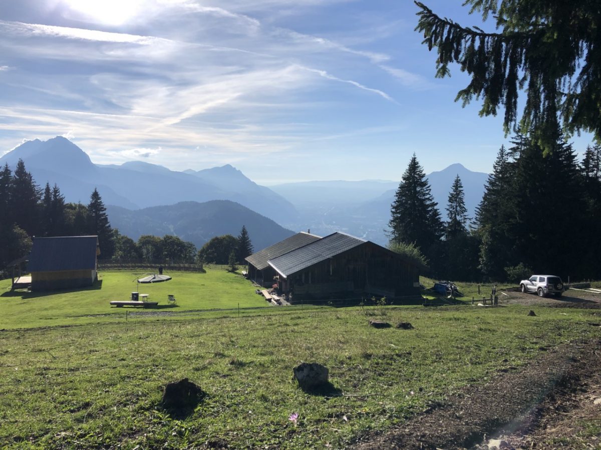
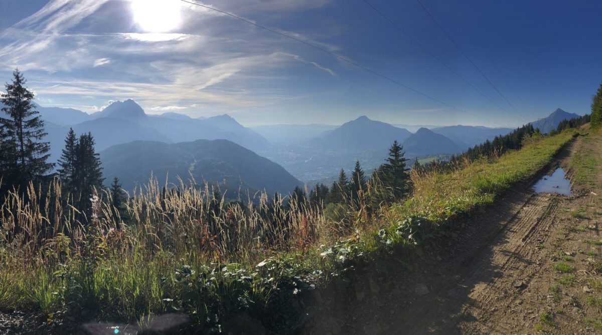
This easy hike is possible from 8 years old. This walk will allow you to admire an exceptional panorama with a plunging view of the Arve valley and its surrounding peaks.
Tips and Suggestions
It is possible to reach Les Carroz resort from this route.
Topo / step by step
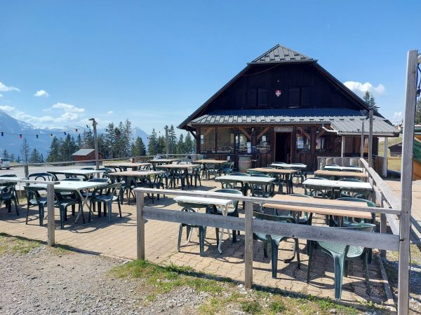
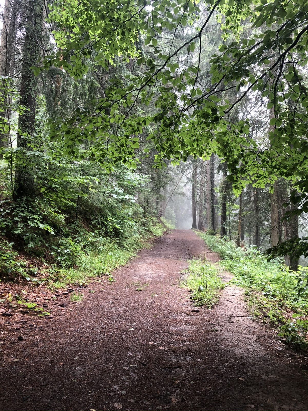
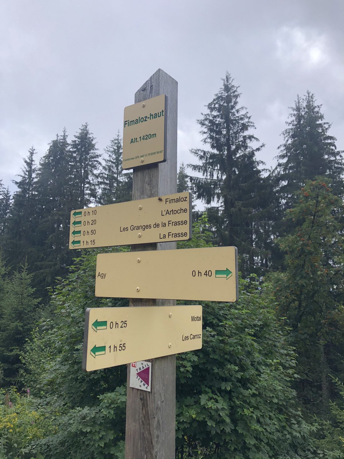
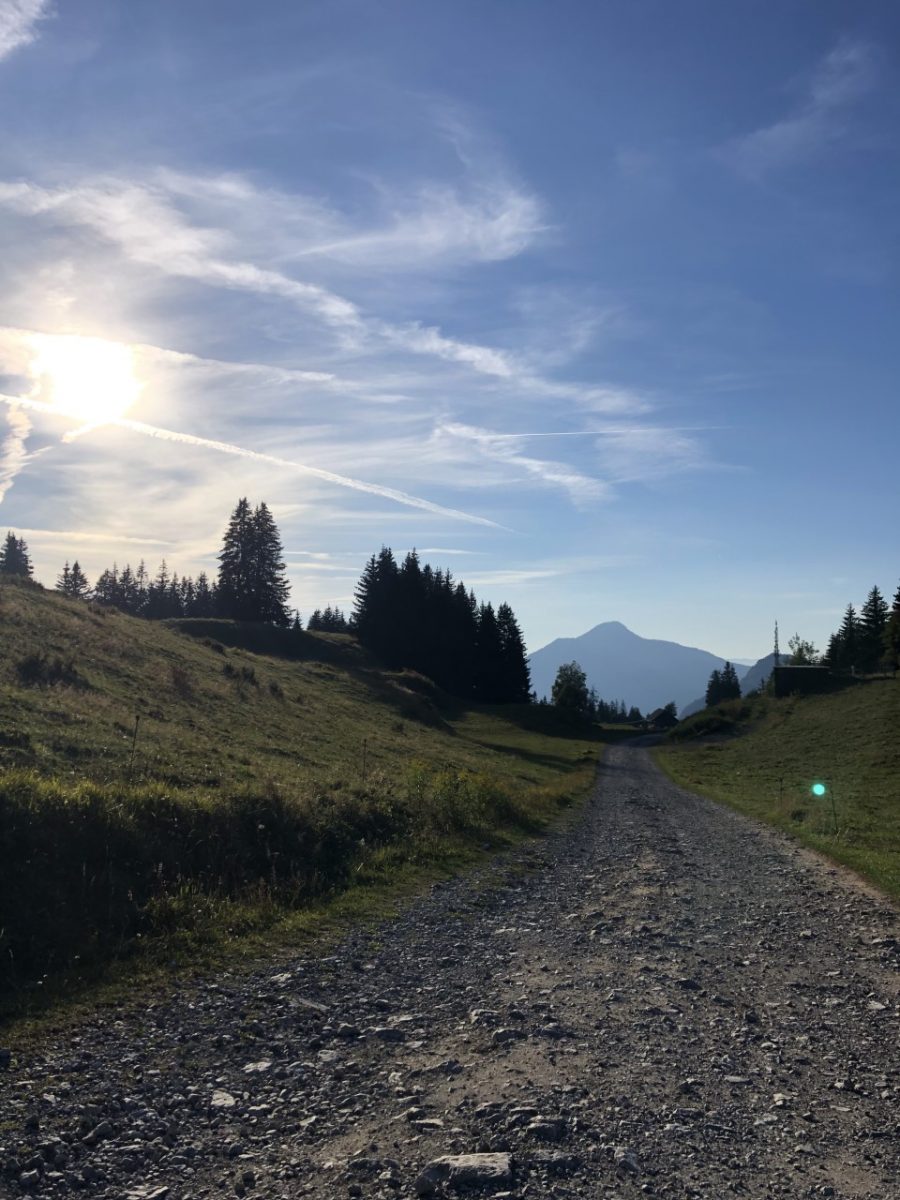
From the car park at the Chalets de Fimaloz: 45 minutes Take the direction of the motorable path which goes up in front of the restaurant. At the intersection "Le Haut des Flatières", take the path on the right in the direction of "Fimaloz par la Bordaz". The path then plunges into the undergrowth. Continue straight until the Chalets de Fimaloz. A beautiful view of the valley awaits you there. From the Chalets de Fimaloz to the car park: 1h00At the level of the chalets, take the road which climbs slightly to the left. After passing "Fimaloz Haut", continue straight ahead. Do not forget to observe the panorama on the right! This path leads back to the starting point.
Route
Châtillon-sur-Cluses. At the col roundabout, turn right and follow the road to Saint-Sigismond. Park in the large parking lot of the restaurant La Tanière. Free parking.
In detail
- 46.078976
- 6.621666
- Châtillon-sur-Cluses. At the col roundabout, turn right and follow the road to Saint-Sigismond. Park in the large parking lot of the restaurant La Tanière. Free parking.
- Distance: 5 km
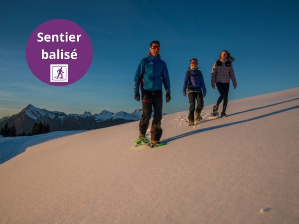
- Markup: BALISE
- Positive elevation: 156 m
- Vertical drop: 156 m
- Daily duration: 105 min
- Route type: LOOP
- Marking precision: Path marked with directional posts (PDIPR)
- Nature of the terrain: Not suitable for strollers
- Nature of the ground: Gravel
- Type of land: Earth
Opening
From 01 / 04 to 15 / 11.
Prices
Equipments & services
Equipments
- Public toilets
- Picnic area.
Services
- Pet Friendly
- Catering