
Distance: 7.6 km
Duration: 155 min
Elevation: 360 m
TAG
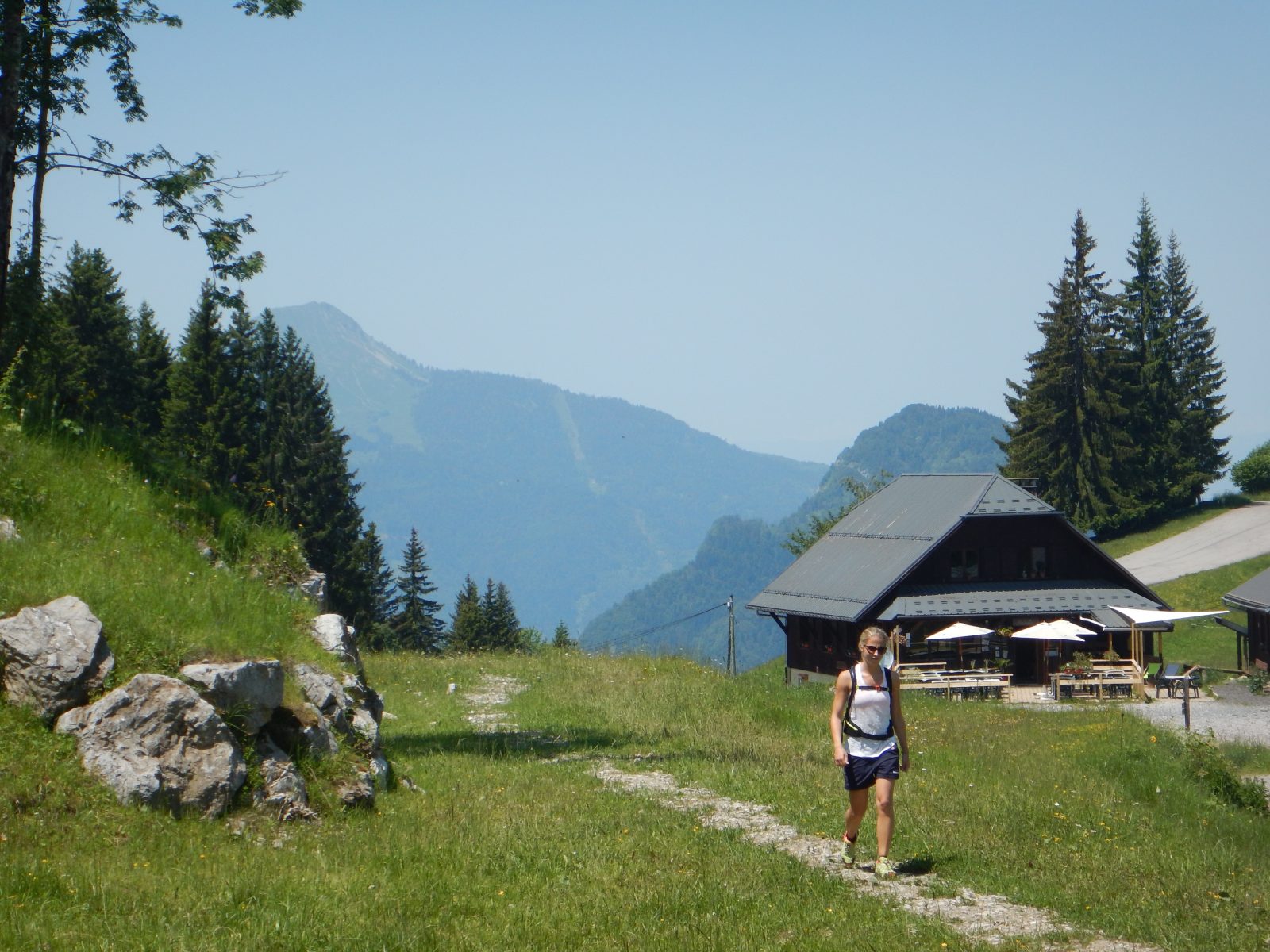
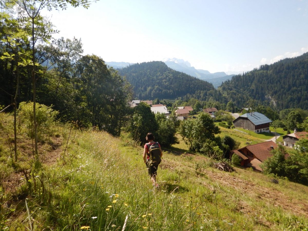
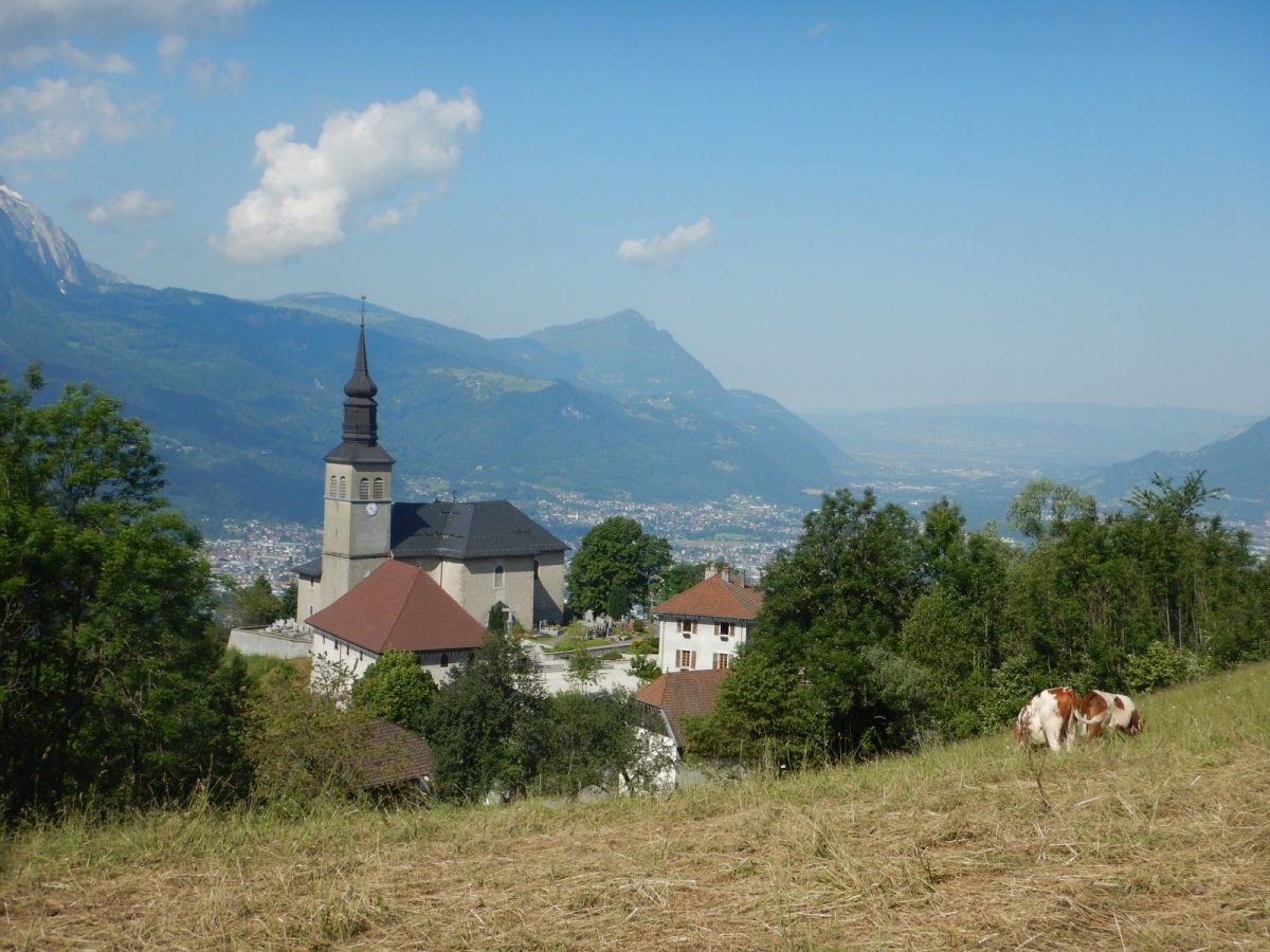
Pleasant walk in the woods despite the sustained climb from the start to the pastures of St-Sigismond. At the top, admire the view of Mont-Blanc and the Giffre massif.
Topo / step by step
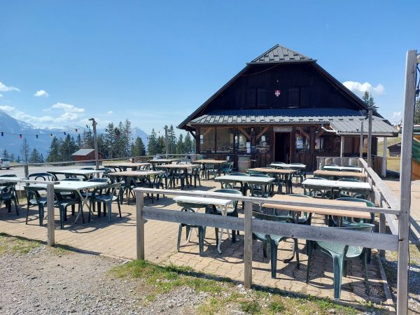
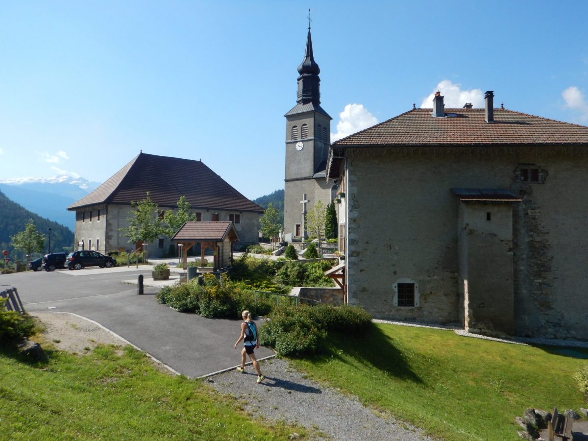
From the town hall of Saint-Sigismond to La Bordaz: 1h20 From the town hall, take the road towards Agy via Les Granges de la Frasse. Follow the arrows to a place called Chemin du Jourdil. From there, go up the road to the left for 200 meters. At the La Pierre du Crêt sign, go up to the left, via a fairly steep path, towards La Bordaz (1h10). Pass two old farms and continue to climb (no markings, but obvious path). At the earthen steps, turn left, as far as Chemin de la Bordaz. The climb is over. From La Bordaz to Agy (La Croix): 25 minutes Turn left to the end of the shaded path which leads to the ridges before arriving at the car park of the La Tanière restaurant. La Croix d'Agy is 5 minutes away. From Agy (La Croix) to Hauts Choseaux: 40 minutes To come down from the Cross, retrace your steps. Take the departmental road and follow the path to the left, which descends under the road. After about 500 meters, cross this road again and continue to descend to the village of Agy. The path crosses the road several times before arriving at the hamlet of Hauts Choseaux. From Hauts Choseaux to Saint-Sigismond town hall: 35 minutes At the crossroads, go straight on towards Croix du Chêne. Arrived at the cross, take the paved road on the left until its terminus. The road continues and becomes a path. At the crossroads, turn left to reach the town hall car park.
Portrait
Fancy a cycling trip between Geneva and Chamonix? Goodbye cars and motorcycles, get on your bike!
Route
From Cluses, take the D902 to Châtillon-sur-Cluses. At the roundabout, take the D6 on the right, direction Saint-Sigismond. In the center of the village of Saint-Sigismond, take the road going up to the left, direction Agy. Park in the town hall square.
In detail
- 46.072546
- 6.613941
- From Cluses, take the D902 to Châtillon-sur-Cluses. At the roundabout, take the D6 on the right, direction Saint-Sigismond. In the center of the village of Saint-Sigismond, take the road going up to the left, direction Agy. Park in the town hall square.
- Distance: 7.6 km
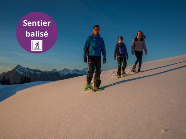
- Markup: BALISE
- Positive elevation: 360 m
- Vertical drop: 360 m
- Daily duration: 155 min
- Route type: LOOP
- Marking precision: Path marked with directional posts (PDIPR)
- Type of land: Pebbles
- Type of land: Earth
- Nature of the terrain: Not suitable for strollers
Opening
From 01 / 04 to 15 / 11.
Depending on weather conditions.
Prices
Free access. Topo rando on sale at the tourist office.
Equipments & services
Equipments
- Playground
Services
- Pet Friendly