Distance: 3.6 km
Duration: 65 min
Elevation: 151 m
TAG
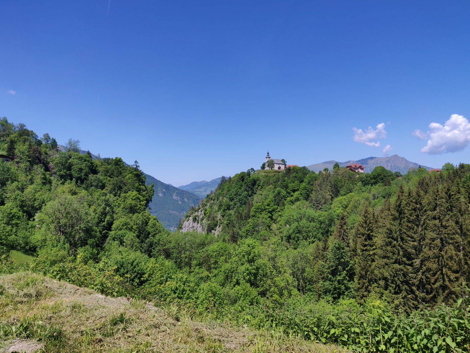
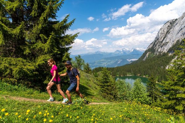
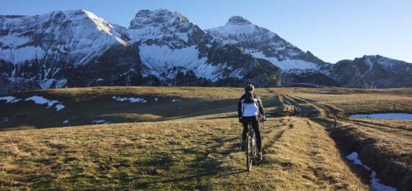
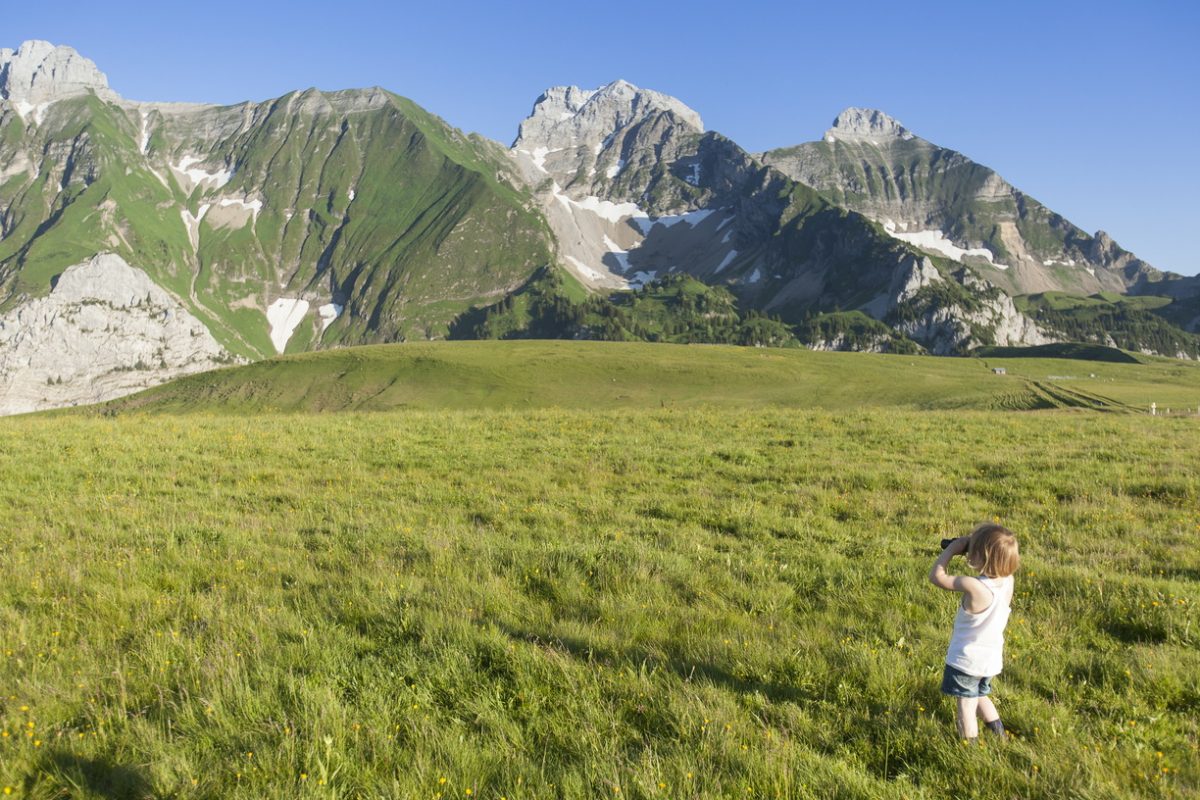
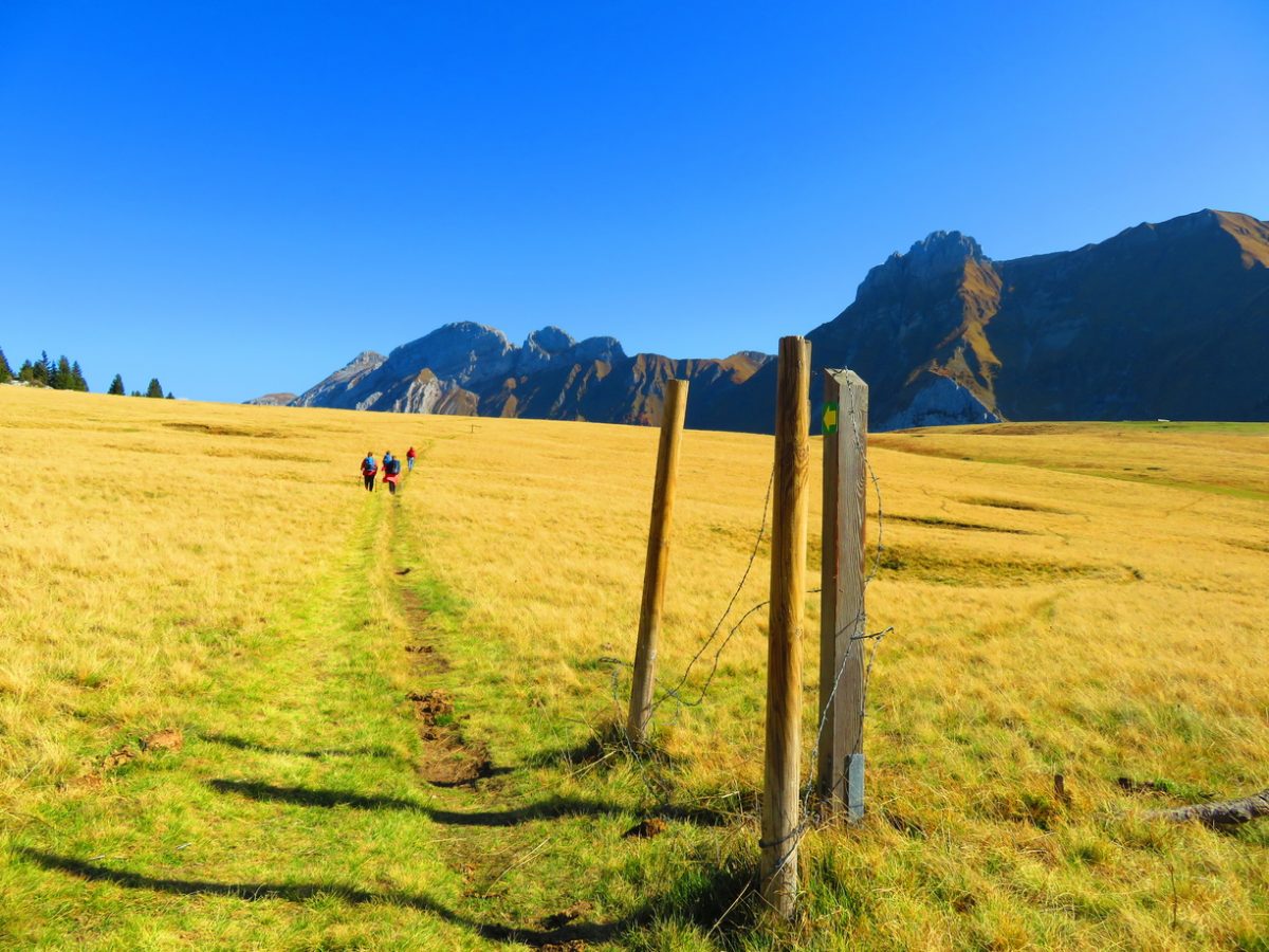
A quiet stroll in a majestic setting that makes our heads spin 360°. Landscapes of character open on the chain of Bargy and on the valley of Arve.
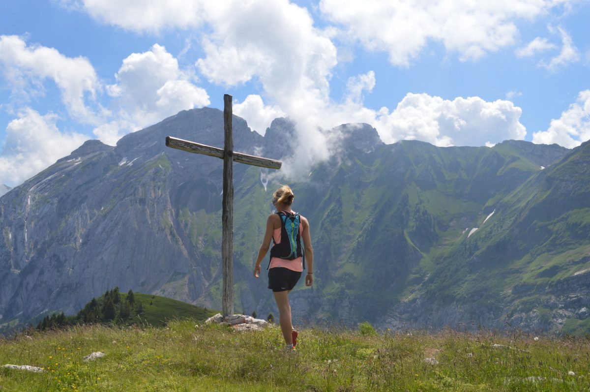
This walk makes us turn our heads at 360° with panoramas of characters. The path from the plateau takes you to the Croix du Col de Cenise with a gentle and steady drop. An ideal easy family outing to be amazed!
Topo / step by step
Starting point: Car park on the Frachets plateau at Mont Saxonnex, close to the farm. From Frachets (car park) to the Croix du Felay: 25 minutes Continue on foot along the farm path which starts in front of the Frachets farm. The climb is gentle on a wide track. We cross alpine pastures to the Croix du Felay. From the Croix du Felay to the Col de Cenise: 10 minutes From the Cross, continue on the path. The vast plateau and the pass are revealed, extending between the Rochers de Leschaux on the right and the Bargy range on the left. From Col de Cenise to Les Frachets (car park): 30 minutes Return by the same route. To do more: from the Col de Cenise *Les Rochers de Leschaux: 1h05 (one way) for good walkers*Le Jalouvre (for very good walkers, aerial passage to the Col du Rasoir, unmarked route): 2h50 (one way)* Lac de Lessy (unmarked itinerary): 1h40 (one way)
Sustainable tourism
The Cenise plateau extends from the Bargy massif to the Rochers de Leschaux, straddling three municipalities and two intermunicipalities: the municipality of Mont-Saxonnex, located on the territory of the Community of Municipalities Cluses Arve and Mountains (2CCAM), and the communes of Glières-Val-de-Borne and Brison, located on the territory of the Community of Communes Faucigny-Glières (CCFG). The site offers a very open landscape with the subalpine lawns which occupy it, thus allowing an unobstructed view of the main peaks of Bargy. The plateau presents 630 hectares of rich and varied natural environments, supports of exceptional fauna and flora: karstic environments, ponds and wetlands, altitude lawns. Due to its remarkable natural heritage and its unique landscape , the Cenise plateau is included in the Natura 2000 site of the Bargy massif, designated to protect a certain number of habitats and species representative of European biodiversity. It is also in the process of being labeled Espace Naturel Sensible (ENS), a label awarded by the Department for sites intended to be preserved and promoted to the general public. This ENS policy is carried out at the local level by the Community of Communes Cluses Arve et Montagnes (2CCAM), which is responsible for the implementation of a management plan finalized in 2022: this document consists of drawing up an inventory of the site and actions to be implemented to reconcile attendance and preservation. All the fauna typical of the mountain environment can be observed there: ibexes, chamois, marmots, black grouse... The site is also flown over by the bearded vulture, a large vulture reintroduced into the Bargy massif at the end of the 1980s. Wetlands and meadows are particularly interesting from a floristic and faunal point of view. work carried out by the alpagists on the grounds grazed by cattle herds which maintain the site. Attendance, if it is not channeled and respectful, induces significant disturbances both for the mountain pasture but also for the biodiversity of the site. The communities and the various local players are working to resolve the problems encountered, in particular by implementing the actions defined in the site management plan.
Route
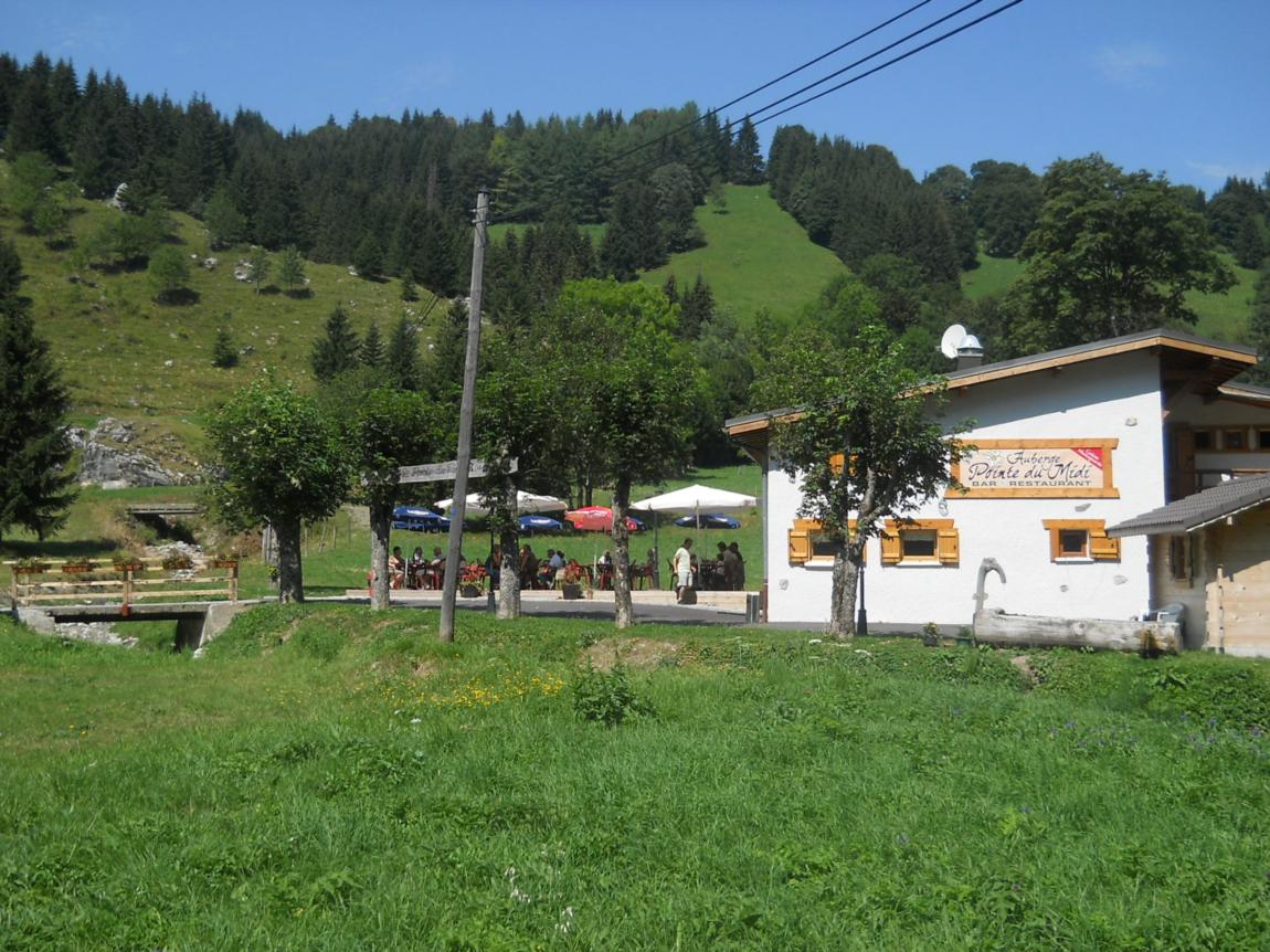
From Cluses, take the D4, direction Le Reposoir, then take the D286, direction Mont-Saxonnex. Cross the village and turn left towards Route de Morsullaz (chairlift). Follow this road for 8 kilometers and pass the Auberge la Pointe du Midi. After the switchbacks, the road ends at the Frachets farm.
In detail
- 46.019407
- 6.448889
- From Cluses, take the D4, direction Le Reposoir, then take the D286, direction Mont-Saxonnex. Cross the village and turn left towards Route de Morsullaz (chairlift). Follow this road for 8 kilometers and pass the Auberge la Pointe du Midi. After the switchbacks, the road ends at the Frachets farm.
- Distance: 3.6 km
- Markup: BALISE
- Positive elevation: 151 m
- Vertical drop: 151 m
- Daily duration: 65 min
- Type of route: GO_RETOUR
- Marking precision: Path marked with directional posts (PDIPR)
- Type of land: Pebbles
- Type of land: Earth
- Nature of the ground: Gravel
- Nature of the terrain: Not suitable for strollers
Opening
From 01 / 04 to 14 / 11.
Subject to favorable weather conditions.
Prices
Free access. Topo rando on sale at the tourist office.
Equipments & services
Services
- Pet Friendly