Distance: 1.6 km
Duration: 30 min
Elevation: 80 m
TAG
Short walk ideal with children to discover a nice panorama on the valley of the Arve and the Môle.
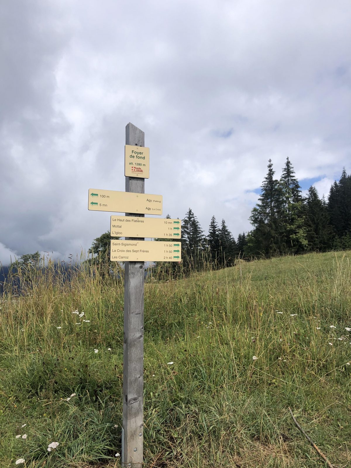
Topo / step by step
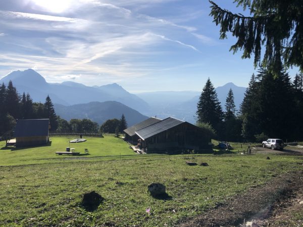
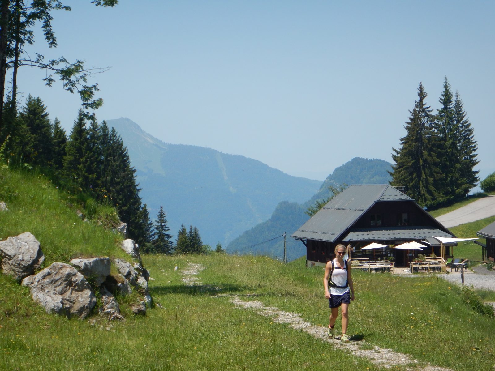
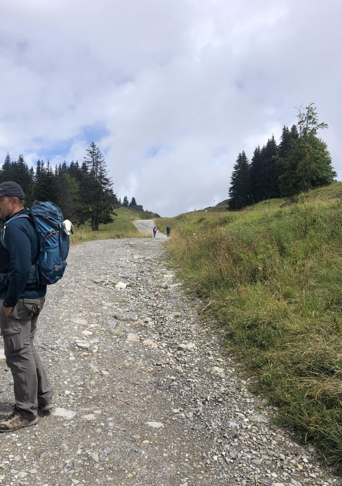
Short loop, around the hill that can be seen on the right from the car park. From the Nordic center, take the wide path towards Haut des Flatières. Then take the path on your right and go up to the picnic table at the top of the mound. For the return, continue on the path that descends and fork to the right twice to return to the starting point.
Route
From Cluses, take the direction of Châtillon-sur-Cluses. At the pass roundabout, turn right and follow the road to Saint-Sigismond. Continue the road in the direction of the plateau of Agy and park in the large car park of the restaurant La Tanière. Parking is free.
In detail
- 46.079077
- 6.622411
- From Cluses, take the direction of Châtillon-sur-Cluses. At the pass roundabout, turn right and follow the road to Saint-Sigismond. Continue the road in the direction of the plateau of Agy and park in the large car park of the restaurant La Tanière. Parking is free.
- Distance: 1.6 km
- Markup: BALISE
- Positive elevation: 80 m
- Vertical drop: 80 m
- Daily duration: 30 min
- Route type: LOOP
- Marking precision: Path marked with directional posts (PDIPR)
- Nature of the terrain: Groomed route
- Type of terrain: Suitable for all-terrain strollers
Opening
From 01 / 04 to 15 / 11.
Equipments & services
Equipments
- Picnic area.
- Public toilets
Services
- Pet Friendly
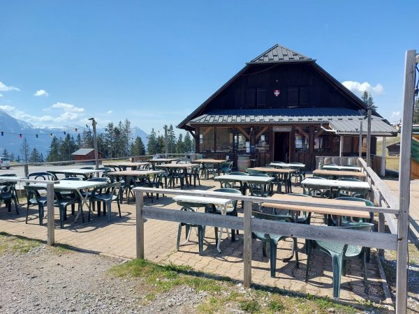
- Catering