The secret balconies of the Reposoir – Hike
622 Route de la Colombière - Car park of the Reposoir Church
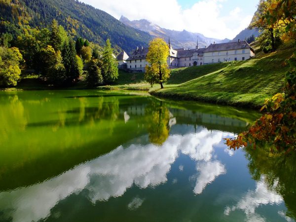
Church in the center of the village of Le Reposoir
74950 Le Reposoir
Distance: 8.8 km
Duration: 210 min
Elevation: 483 m
NOT AVAILABLE
Temporarily closed following the landslide.
Do not take this path.
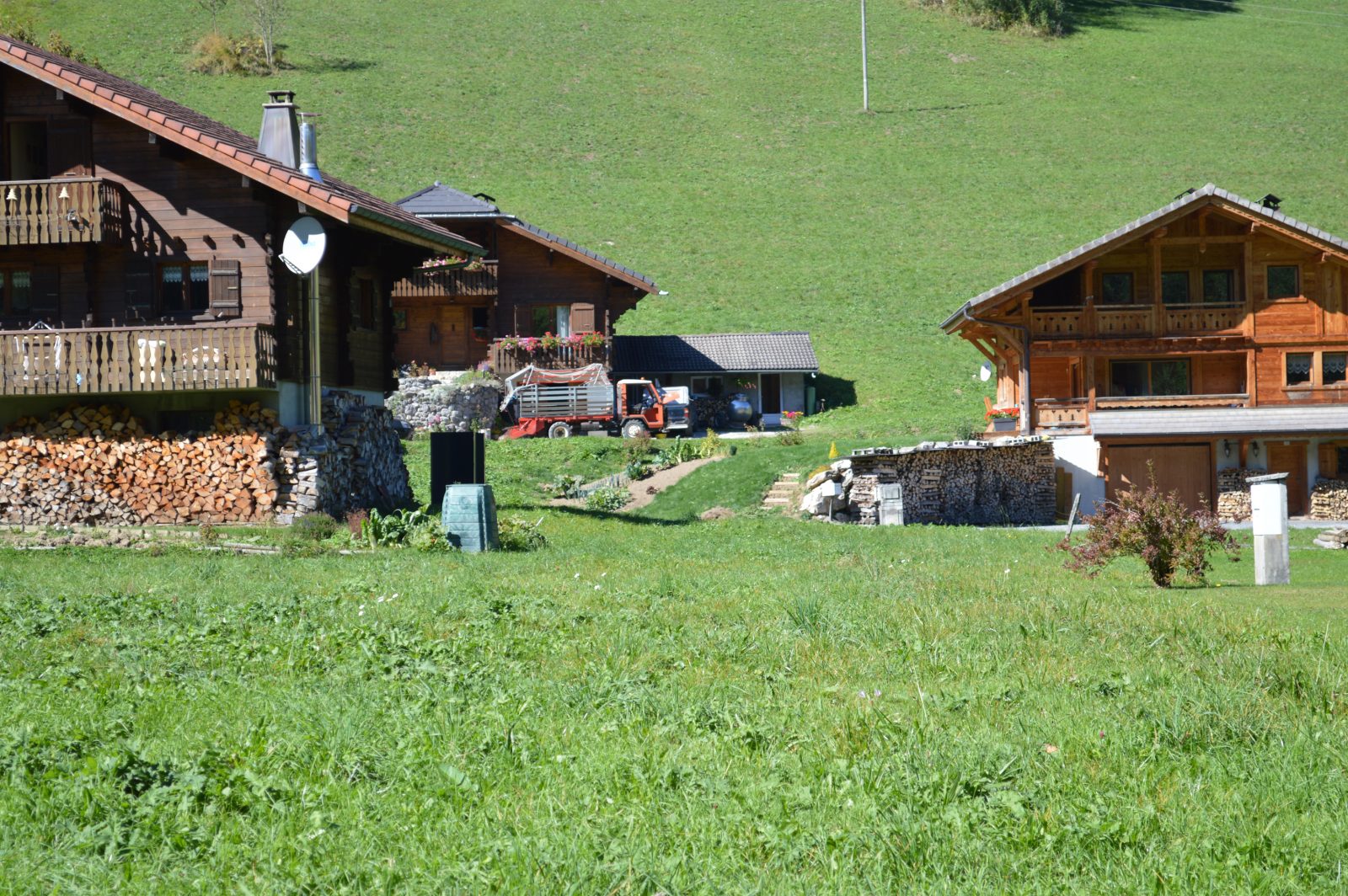
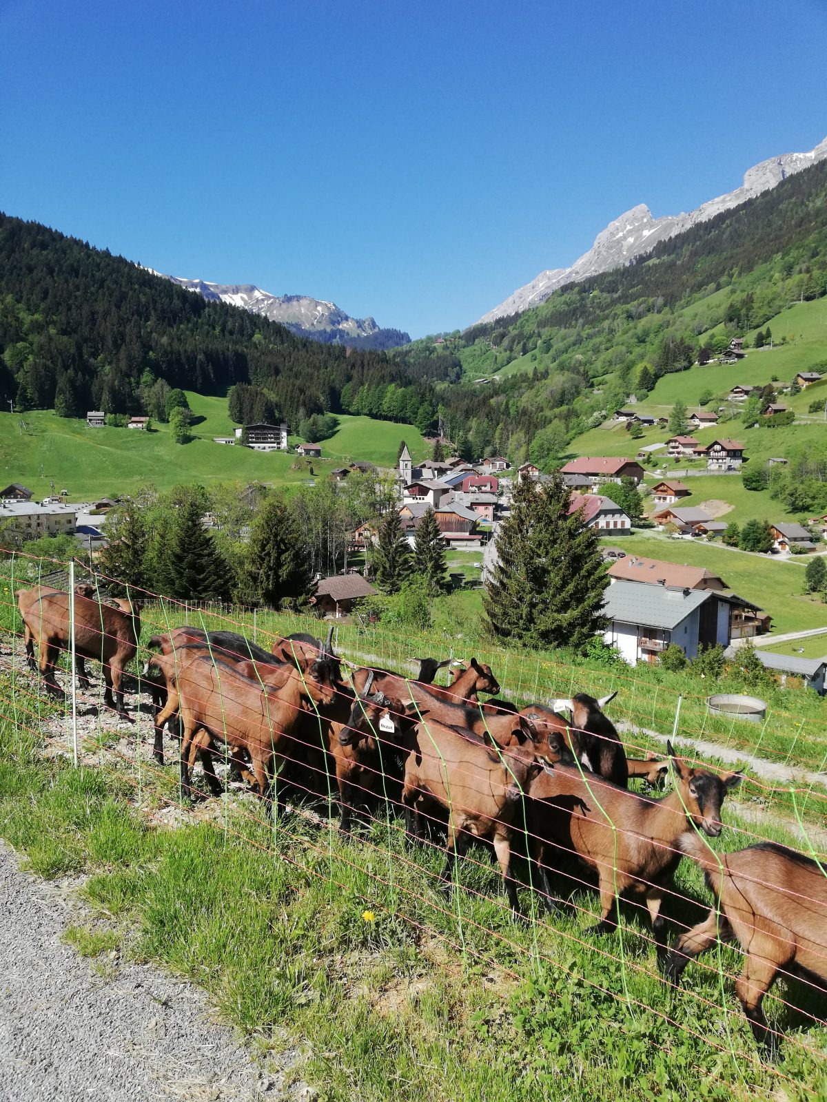
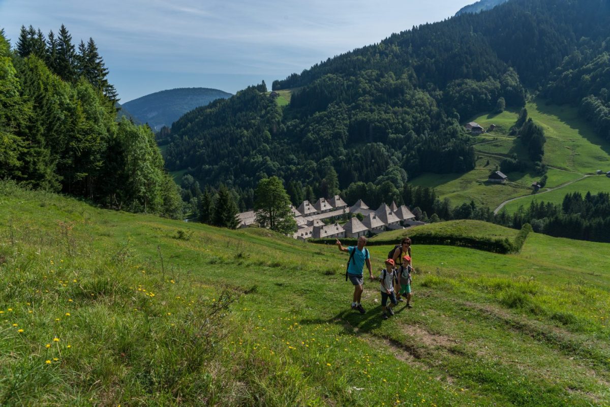
A hiking route to discover the Reposoir. A varied walk with shaded areas in the forest, open areas and magnificent views of the peaks.
Sustainable tourism
Respect the flora and fauna already weakened by winter. Keep your dogs on a leash. Bring back your trash.
Portrait
Fancy a cycling trip between Geneva and Chamonix? Goodbye cars and motorcycles, get on your bike!
History, culture and heritage
The history of the town of Reposoir is closely linked to that of Chartreuse, founded in the 1151th century. The religious institution, today the Carmelite Monastery, is a former Charterhouse, founded in XNUMX by Aymon de Faucigny to accommodate monks of the order of Saint-Bruno. The whole is classified as a historical monument.
Topo / step by step
Departure: car park of the Church of the Village of Reposoir1/ From the car park of the Church of the Center of the Village of Reposoir, at the level of the first post "Le Reposoir", follow the direction of "Malatrait" passing by "Planzury" 2/ At the “Malatrait” post, follow the motorable path on the left towards Saint-Bruno3/ Arrived at “Saint Bruno”, cross the road towards the “Saint Bruno (Dessous)” directional post, then follow the direction of “Le Reposoir by Côte David”4/ At places called “Côte David” and “la Touvière”, follow “La Caronière”5/ From “la Caronière”, continue towards “Le Bassin” and “Chartreuse du Reposoir”, then follow the direction “Le Reposoir” until you reach your starting point.
Route
From Cluses, take the D4 towards Le Reposoir. Park in front of the Church in the center of the village.
In detail
- 46.01134
- 6.534855
- From Cluses, take the D4 towards Le Reposoir. Park in front of the Church in the center of the village.
- Distance: 8.8 km
- Markup: NON_DISPONIBLE
- Positive elevation: 483 m
- Vertical drop: 483 m
- Daily duration: 210 min
- Route type: LOOP
- Type of land: Earth
- Nature of the ground: Gravel
- Nature of the terrain: Not suitable for strollers
Opening
From May to October depending on weather conditions. (Possibility of snowshoeing in winter)
Equipments & services
Equipments
- Public toilets
Services
- Pet Friendly