
Distance: 3.5 km
Duration: 105 min
Elevation: 220 m
TAG
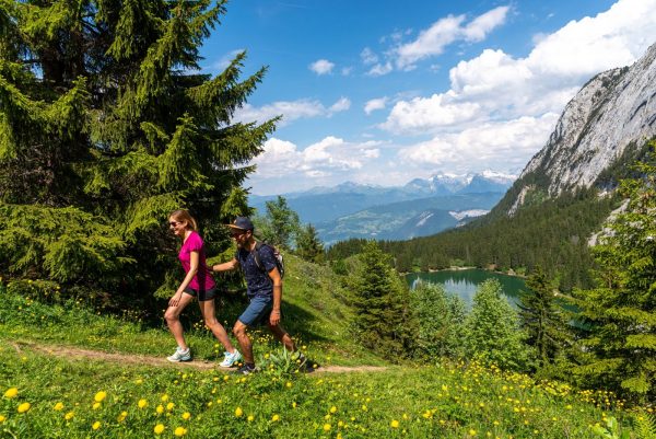
The loop of the Cé gorges is an unusual route. The route is cool; ideal in hot weather. Please note that this hike is not recommended in wet weather. A steep slope can be slippery.
Tips and Suggestions
In the fresh! An unusual route, in a cool place: ideal in case of hot weather.
History, culture and heritage
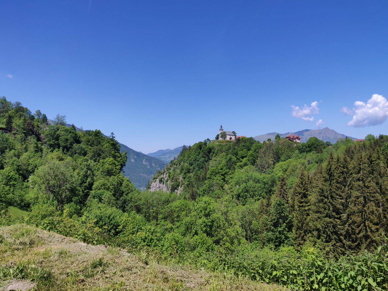
The Church of Our Lady of the Assumption: the promontory of the church of Mont-Saxonnex is one of the most beautiful viewpoints over the Arve valley. The church and its bulbous bell tower dominate the valley of more than 5000 meters of sheer. It was burnt down by lightning twice, then rebuilt between 1929 and 1934 and very richly decorated. Built from 1829 to 1834 on the site of an older church, it is neoclassical in the shape of a Greek cross.
Topo / step by step
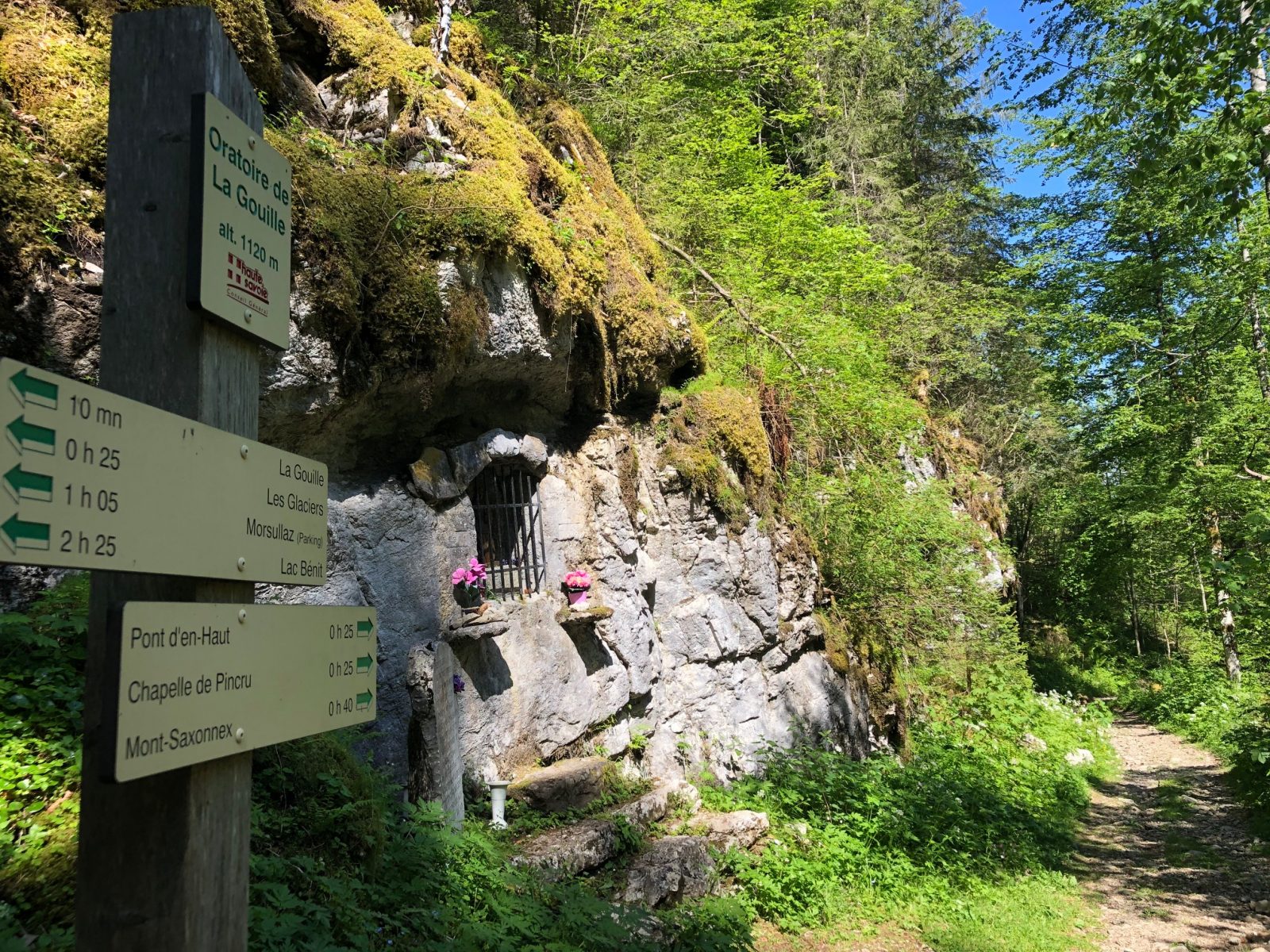
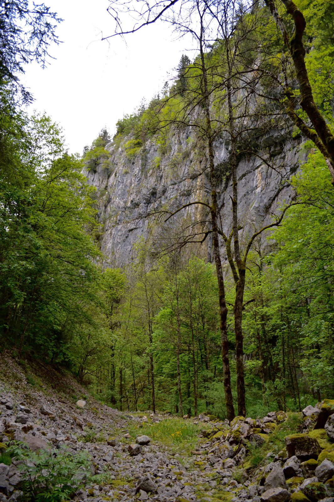
From the school (car park) to the Gorge du Cé: 15 minutes From the car park, take Impasse du Corrioz and immediately take the path to the right which descends to the gorge between the chalet and the house. Follow the path that brings you closer to the river and at the Gorge du Cé, follow the direction of Chamoule (0h30). From the Gorge du Cé to Chamoule: 30 minutes The setting is quite surprising, the initially distant walls come together to offer a tight passage where the path weaves its way between the cliffs. After this tight passage, cross the stream to go to the opposite side. At the intersection with a 4x4 track, go left. 50 meters further, take the direction of Chamoule crossing the field in the middle to take the path which passes under the house. Follow the paved road that crosses the hamlet. It goes up to a basin. From there, take the chemin du Bèle to the left and follow the arrows. From Chamoule to the school (car park): 1 hour The path crosses the road and takes you to the second hamlet of Les Monts. To cross it, take the small road on your right. Continue straight on the road in the middle of the chalets to Chemin des Poussins. Leave the tarred road at this point and take the path straight downhill along a stone wall. At Chemin de Cremelin, go straight ahead to find the car park.
Route
From Cluses, take the D4, direction Le Reposoir. Cross Scionzier, then at the intersection, turn right onto the D286, direction Mont-Saxonnex. Cross the village of Mont-Saxonnex, after the Le Jarbay tourist residence, turn right before the school and park in the car park in front of the village hall.
In detail
- 46.050096
- 6.478073
- From Cluses, take the D4, direction Le Reposoir. Cross Scionzier, then at the intersection, turn right onto the D286, direction Mont-Saxonnex. Cross the village of Mont-Saxonnex, after the Le Jarbay tourist residence, turn right before the school and park in the car park in front of the village hall.
- Distance: 3.5 km
- Markup: BALISE
- Positive elevation: 220 m
- Vertical drop: 220 m
- Daily duration: 105 min
- Route type: LOOP
- Marking precision: Path marked with directional posts (PDIPR)
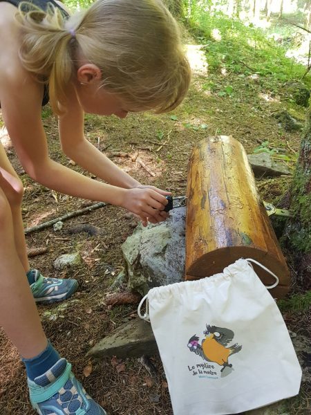
- Difficult passages: The path descends into the gorges of Cé. The trail is slippery for 200 meters as the gorge narrows. The hiker will then have to cross the stream by walking on stones.
- Type of land: Pebbles
- Type of land: Earth
- Nature of the terrain: Not suitable for strollers
Opening
From 01 / 05 to 15 / 11.
Subject to favorable weather conditions.
Equipments & services
Equipments
- Parking
- Free parking
Services
- Pet Friendly