Distance: 55 km
Elevation: 300 m
TAG
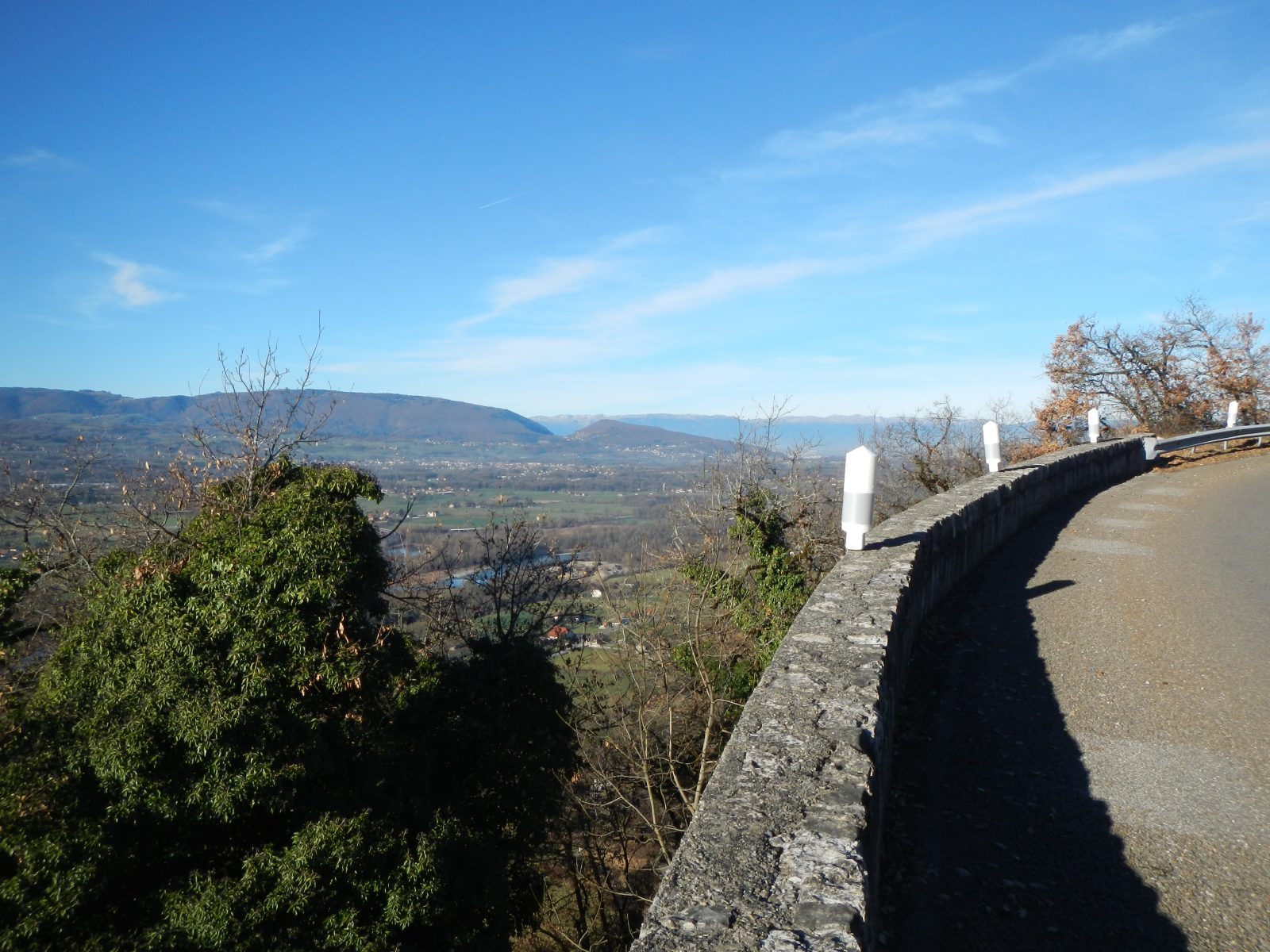
A discovery of the heart of Faucigny, with its capital Bonneville, its Môle lake, its Ayse vineyards. The only small difficulty, the climb of the Côte d'Hyot represents 150 m of vertical drop with a regular slope.
Direction of travel: clockwise
Lengths: 55 km
Difficulty: red
Cumulative elevation gain: 300 m
Landmarks and connections: from Cluses, greenway to Marignier, then Bonneville, Faucigny, Marcellaz, St-Jeoire (junction with Circuit de la Ramaz n°38).
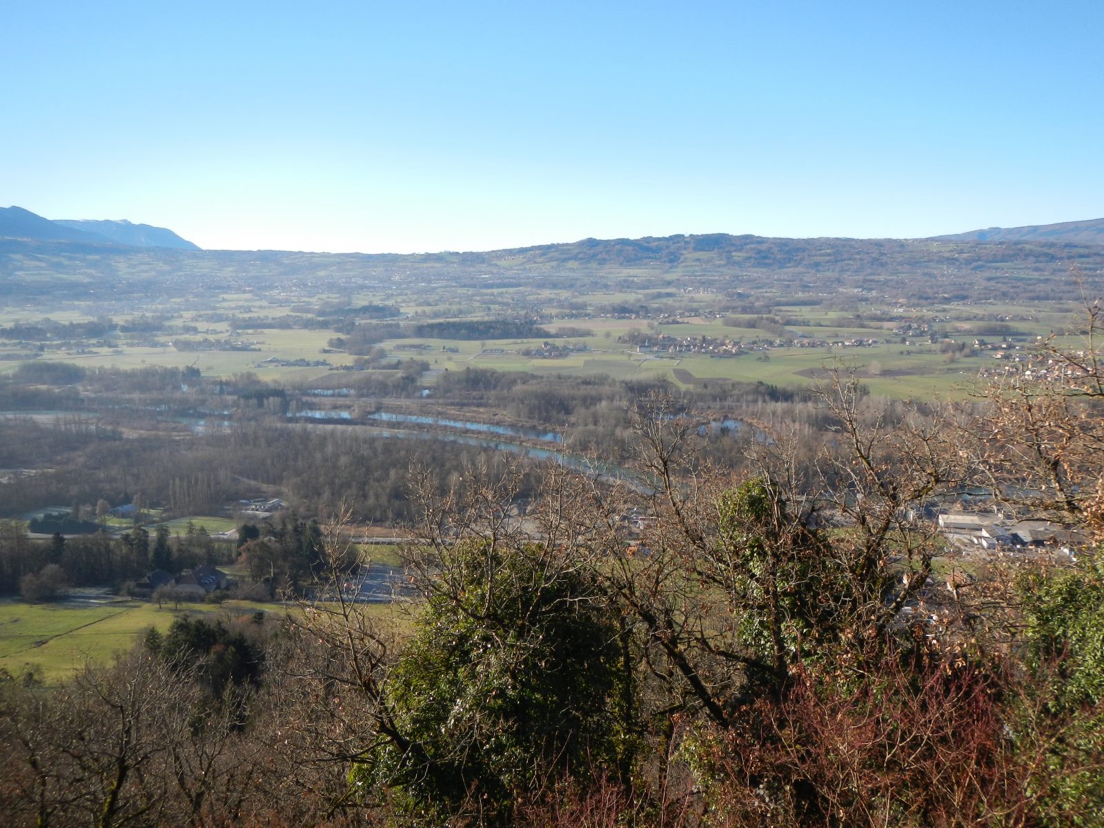
The Tour du Môle is a trip to the heart of Faucigny, a medieval province which has long dreamed of extending to Geneva and which ended up integrating the House of Savoy in 1355.
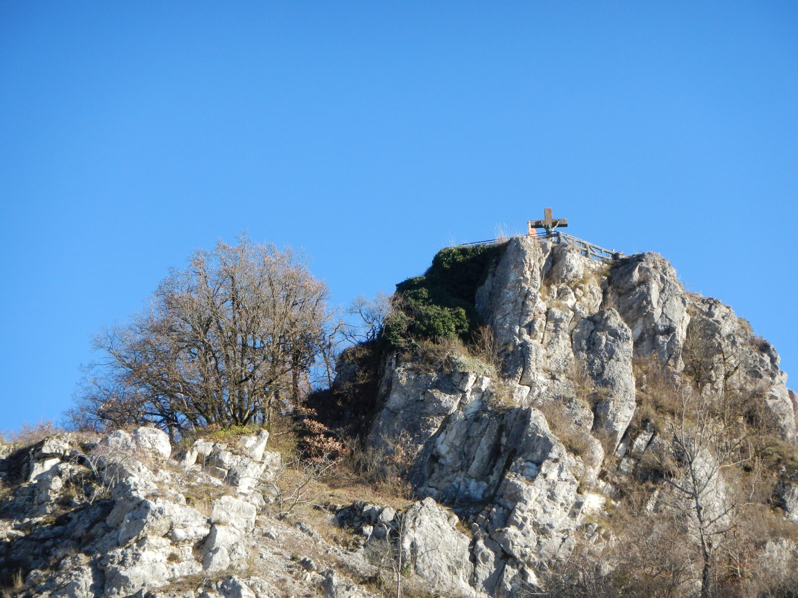
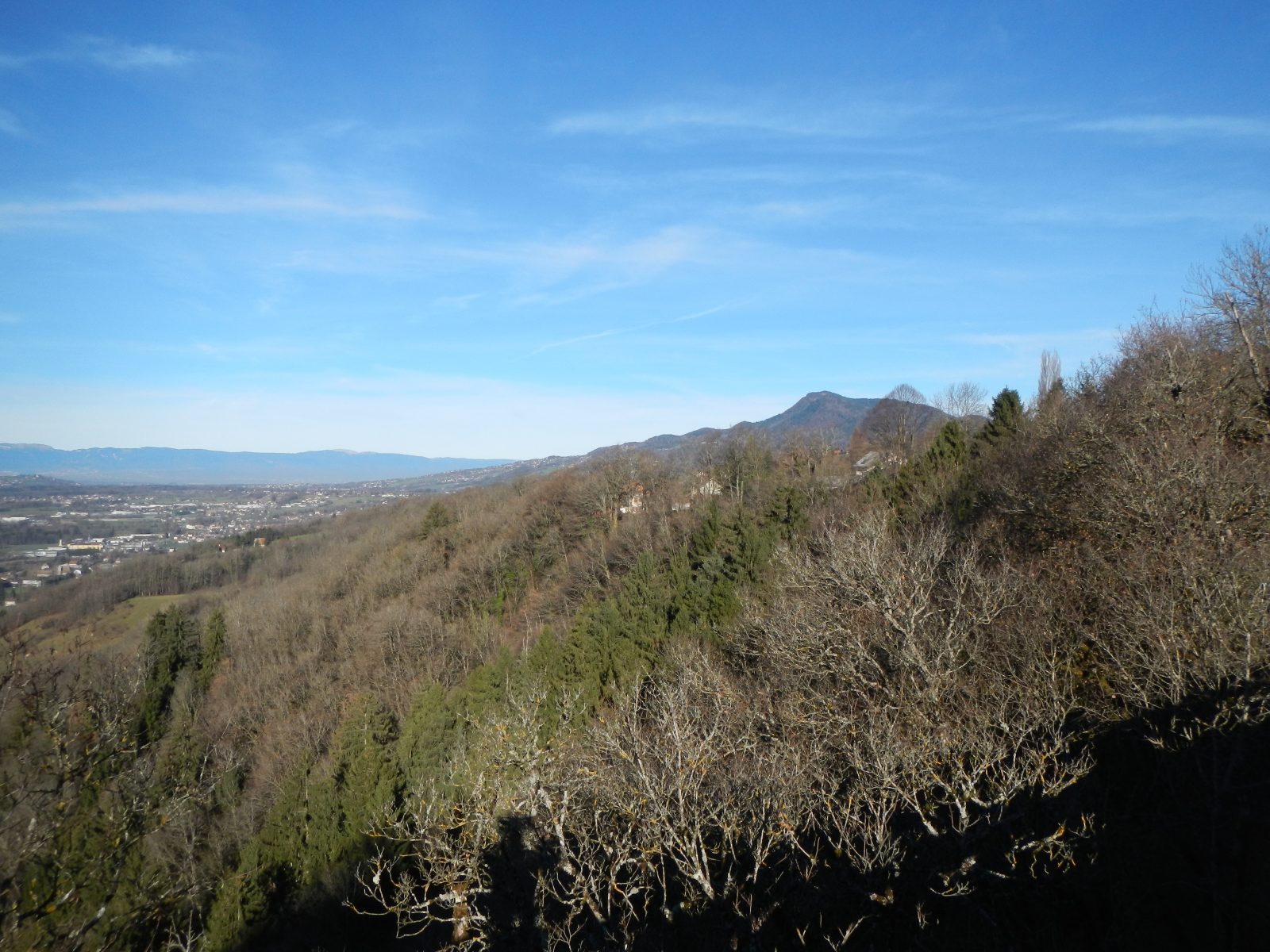
If it did not belong to the limestone Prealps, the Môle could be taken for a volcano. It has even often been nicknamed the Fujiyama of the Alps. Its conical shape, which majestically dominates the lower valley of the Arve, makes it a signal mountain. Surrounded by roads and isolated between Chablais, Salève and Aravis, the Môle lends itself naturally to the cycle touring circuit.
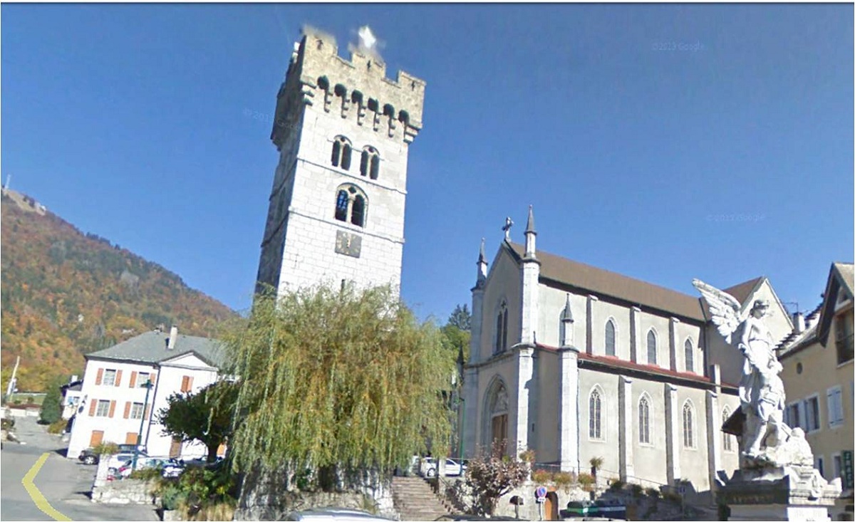
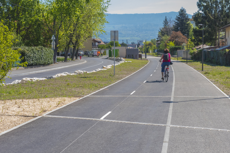
Leaving from Cluses, a pleasant greenway along the Arve then the railway line will take you to Marignier. After 2km with caution on the RD19 continue towards the hillsides of Ayse by the RD6. Cross the center of Bonneville, and drive 2km on the departmental 1205 before going up to Faucigny by the Côte d'Hyot (RD12) and continue to Marcellaz. Between Marcellaz and the Tower, do not deprive yourself of a break at the edge of the Lac du Môle, shaded and equipped with picnic benches. Then, leave the RD907 to enter St-Jeoire. You will be guided to a pretty balcony road (RD308) which will take you peacefully to Marignier. The return to Cluses is via the greenway.
Route
the Tourist Office
In detail
- 46.056883
- 6.580558
- the Tourist Office
- Distance: 55 km
- Markup: BALISE
- Positive elevation: 300 m
- Route type: LOOP
- Marking precision: Departmental marking: No. 25 red
Opening
From 15 / 03 to 30 / 10.
Passable outside the snowfall period and depending on weather conditions. Check with the Tourist Office beforehand on current conditions.