Road bike
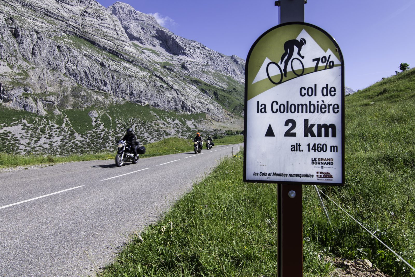
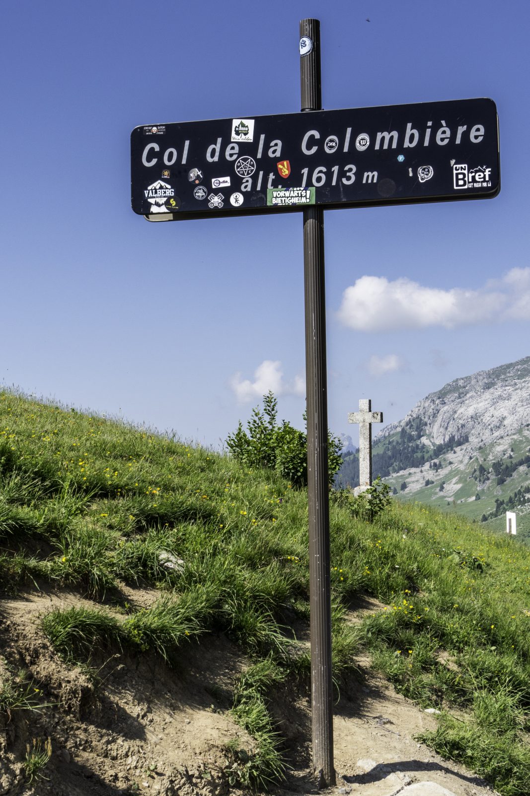
Go cycling: Col de la Colombière north
Distance: 19 km
Elevation: 1110 m
NOT AVAILABLE
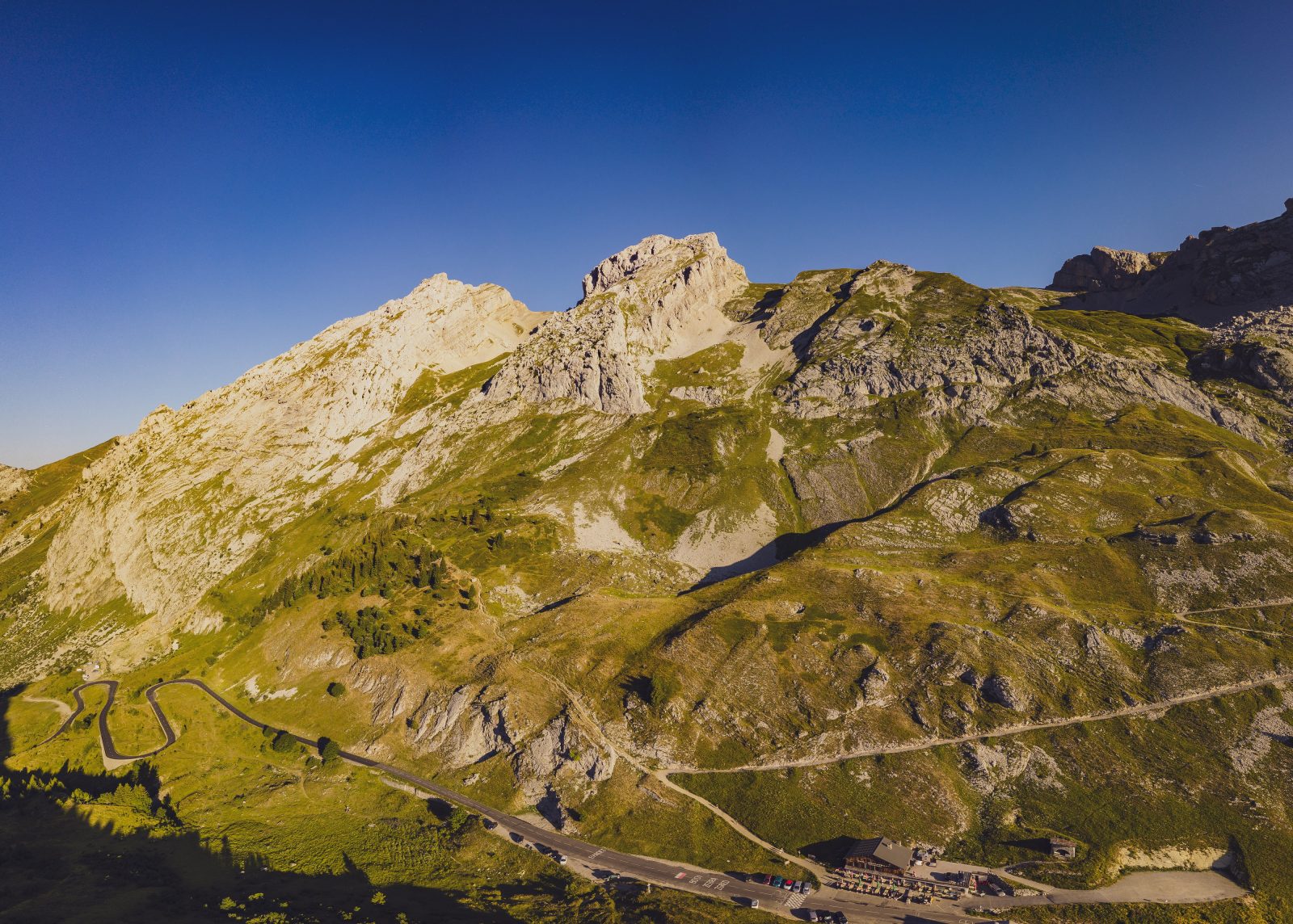
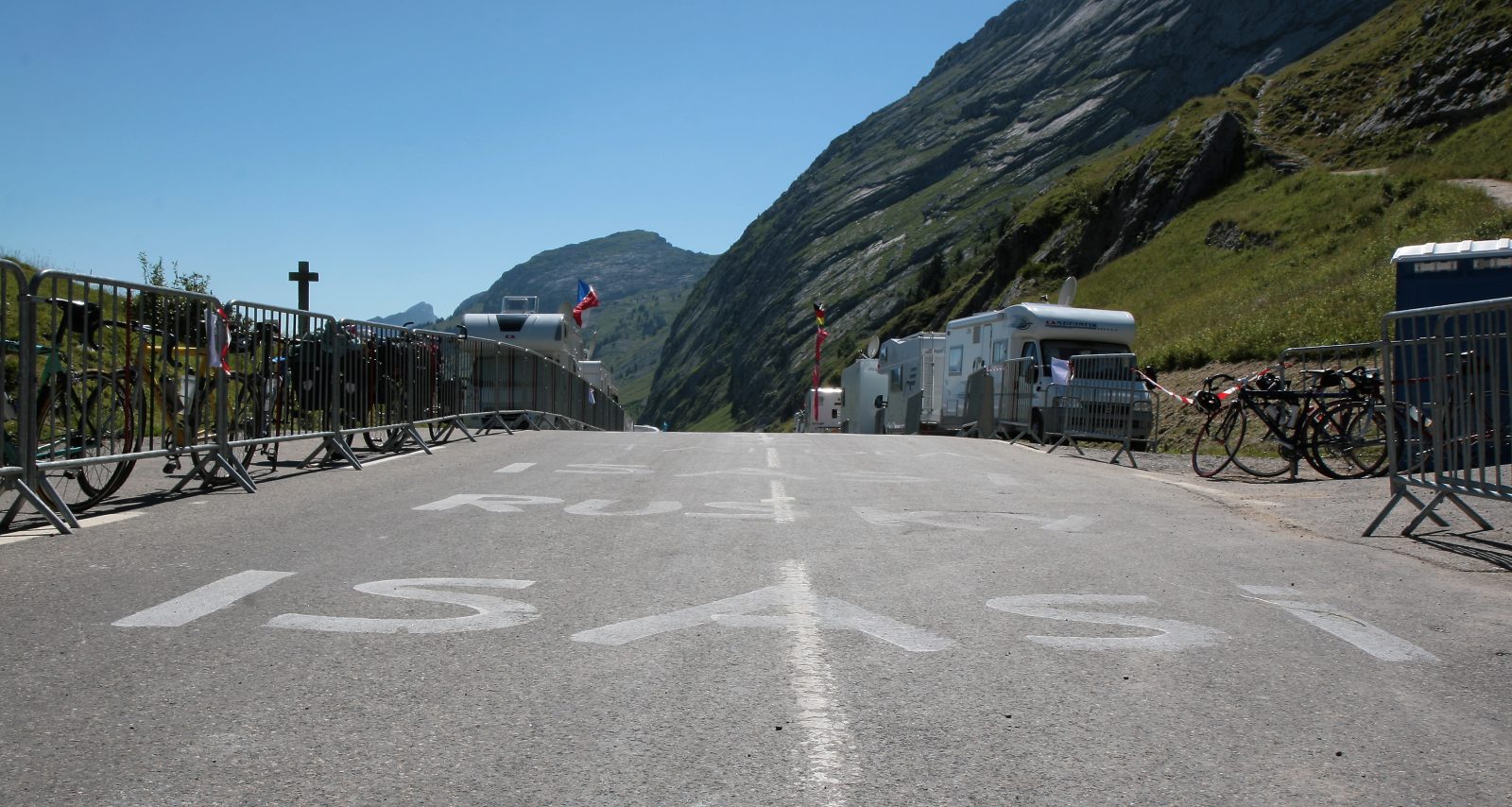
Famous "Col du Tour de France". This north-facing slope is the most difficult. Take the opportunity to make a stop, and why not a visit to the Chartreuse du Reposoir, before tackling the toughest part.
Percentages a little sustained towards the start varying from 6 to 8% for 4 km and especially the final assault about 4 km from the pass, with a difficult road on the mountainside and a percentage of 10% recorded over the last 1 straight meters.
Route
From Cluses: D1205 and roundabout D26 / D4. A40 motorway, exit 18 Scionzier. Nearest station: Cluses.
In detail
- 46.056645
- 6.580156
- From Cluses: D1205 and roundabout D26 / D4. A40 motorway, exit 18 Scionzier. Nearest station: Cluses.
- Distance: 19 km
- Markup: NON_DISPONIBLE
- Positive elevation: 1110 m
- Type of route: ALLER_ITINERANCE
Opening
From 01 / 06 to 31 / 10.
Passable outside the snowfall period and depending on weather conditions. Check with the Tourist Office beforehand on current conditions.