Distance: 74 km
Elevation: 1620 m
NOT AVAILABLE
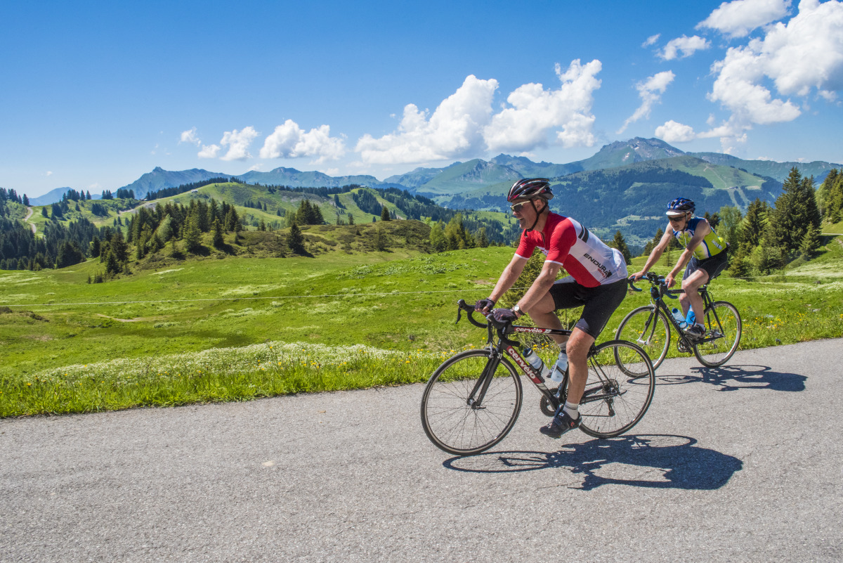
A great mountain course where you have to manage your effort, because the difficult climb of Joux-Plane only represents 55 to 60% of your total vertical drop, depending on your starting point.
Direction of travel: anti-clockwise.
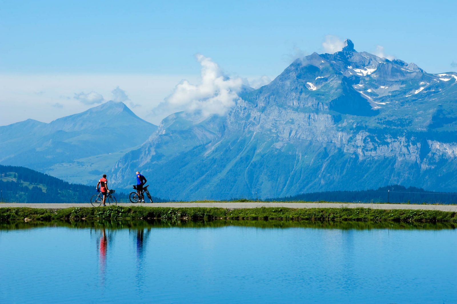
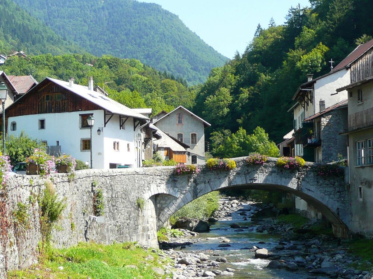
Landmarks and connections: St-Jean-d'Aulps from Thonon; Châtillon and Taninges coming from Cluses; for everyone: Montriond, les Gets, Samoëns, Morzine.
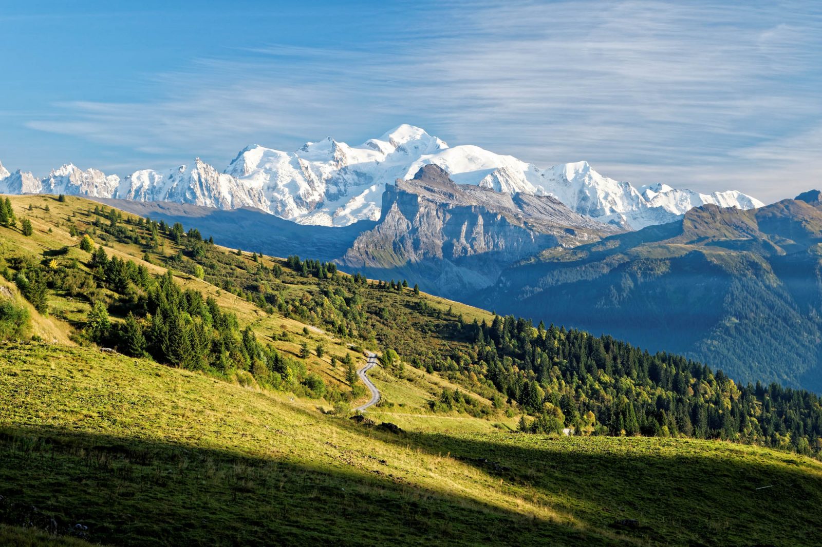
Description: Climbed for the first time in 1978 by the riders of the Tour de France, Joux-Plane has become one of the legendary passes of the tests in the Alps. He has already seen the Tour de France pass 17 times. The fact remains that Joux-Plane is a magnificent summit to conquer, even if it is not a geographical pass (which is located off the road, about twenty meters more high). In the suggested direction and over a length of a little less than 12km, you will have to face a passage at 12,5% from the first kilometer and 5km at more than 9% at the end of the climb. Added to this is the Col des Gets, which is much more modest. It will be a long warm-up for those who will start from Thonon and a moderate climb on the way back for those coming from Cluses.
Route
the Tourist Office
In detail
- 46.056883
- 6.580558
- the Tourist Office
- Distance: 74 km
- Markup: NON_DISPONIBLE
- Positive elevation: 1620 m
- Route type: LOOP
Opening
From 01 / 06 to 31 / 10.
Passable outside the snowfall period and depending on weather conditions. Check with the Tourist Office beforehand on current conditions.