Distance: 67 km
Elevation: 1300 m
NOT AVAILABLE
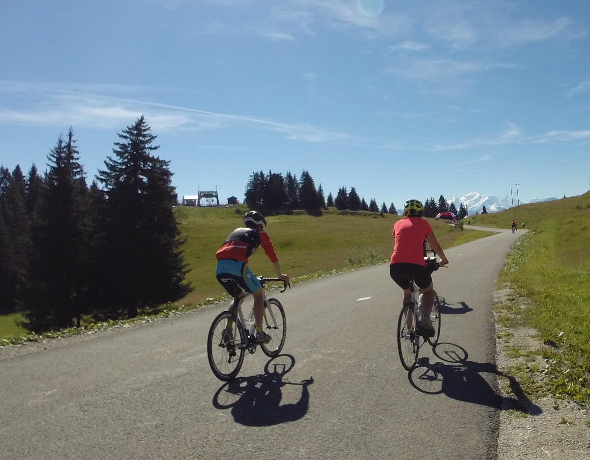
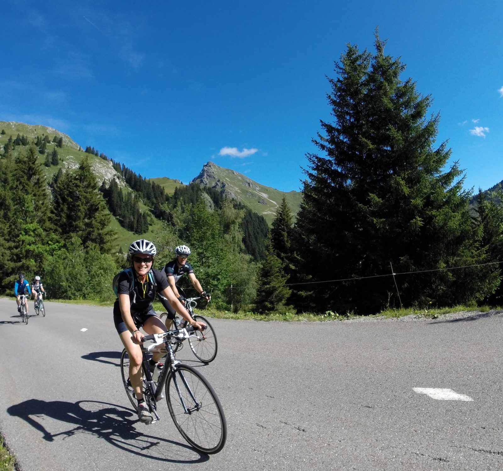
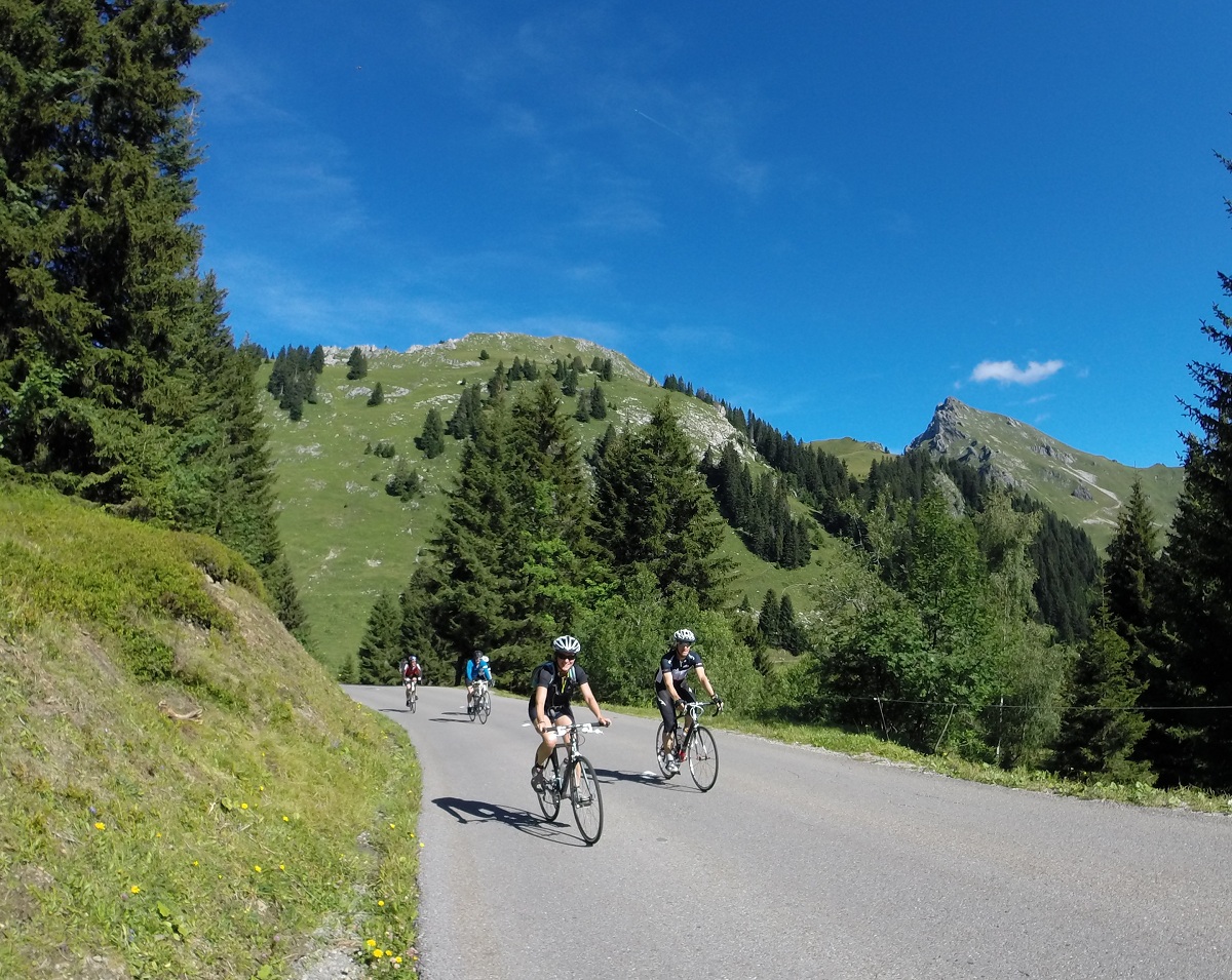
16 km of ascent at 6% average from Taninges, with a preliminary warm-up on the Col de Châtillon, this is the main course of this circuit embellished with exceptional panoramas on the Mont-Blanc Massif.
Direction of travel: anti-clockwise.
Landmarks and connections: Taninges (separation with the Boucle du Giffre n ° 39 and the Circuit de Joux-Plane n ° 36); the Praz-de-Lys; Onnion; St-Jeoire (junction with the Tour du Môle n ° 25) Description: La Ramaz will only have seen the Tour riders twice: in 1981 and 2003. In the direction suggested, you will reach it via Châtillon and Taninges. At the city center roundabout, take the RD907 on the left, then, 300 m further on, the RD307 on the right. This small route, quieter than the Route des Gets, will be the starting point for your ascent. In Fry, you will pass on the RD328, which you will leave 2km further on for the Praz-de-Lys / Sommant road (RD308). During the ascent, take the time to admire the panorama of all the peaks of the Mont-Blanc massif. On the way down, don't miss the exit from the departmental road, on your right, at a place called "chez Besson". You will catch up with the RD226 in St-Denis to leave it on the left just before Laitraz. You will return via Onnion and St-Jeoire where you will be directed under the Môle, on a small balcony road (RD306) leading to Marignier. You will travel the last kilometers peacefully, on the new greenway, to Cluses.
Route
the Tourist Office
In detail
- 46.056883
- 6.580558
- the Tourist Office
- Distance: 67 km
- Markup: NON_DISPONIBLE
- Positive elevation: 1300 m
- Route type: LOOP
Opening
From 01 / 06 to 31 / 10.
Passable outside the snowfall period and depending on weather conditions. Check with the Tourist Office beforehand on current conditions.