Distance: 42 km
Elevation: 430 m
NOT AVAILABLE
A circuit of discovery of a beautiful pre-Alpine valley which is accessed by the small pass of Châtillon. Stop in Taninges to listen to the biggest carillon in Haute Savoie (Thursday only).
Direction of travel: clockwise
Landmarks and connections: Châtillon-sur-Cluses; Taninges (separation with the Circuit de la Ramaz n ° 38 and the Circuit de Joux-Plane n ° 36); Samoëns (separation with the return trip from Fer-à-Cheval n ° 40)
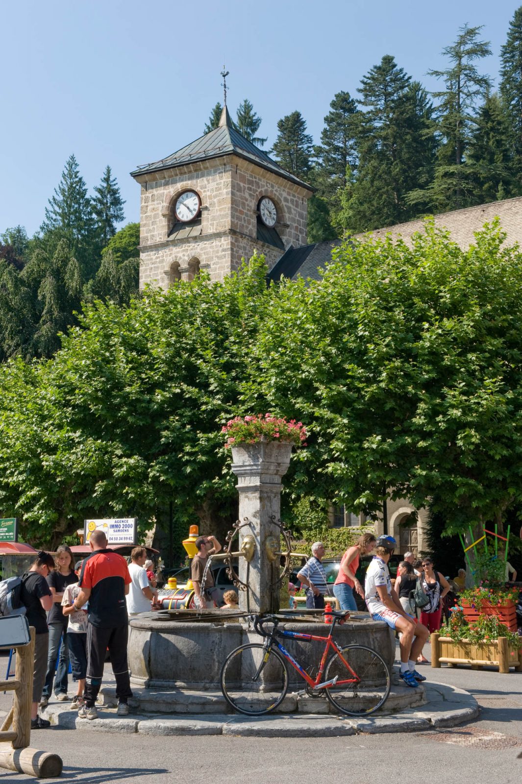
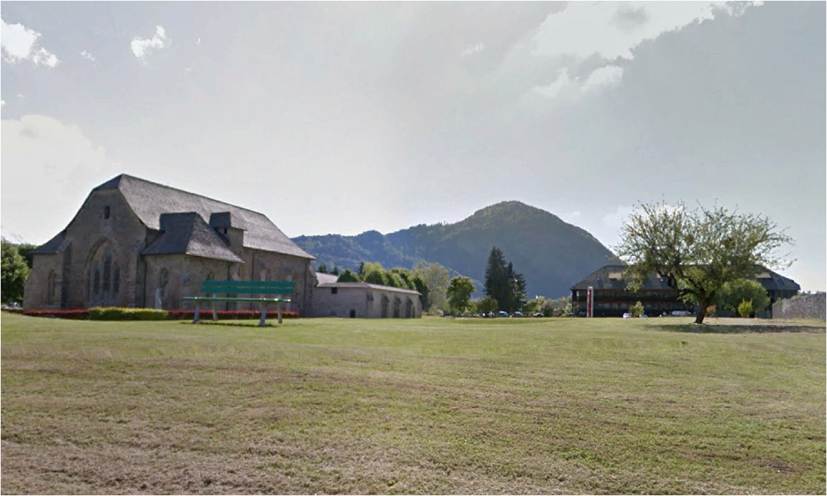
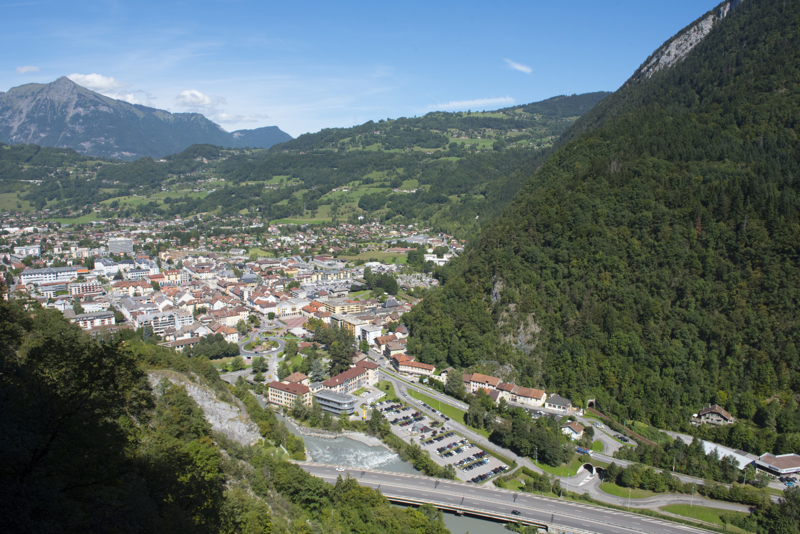
Description: The Giffre is the main tributary of the Are and one of the most abundant rivers in France in terms of its size. This is due to the large amounts of precipitation of rain and snow which occur on the pre-alpine massif that it drains. It is in May, June and July, during the maximum snowmelt, that you will be able to see the most water in its bed, apart from the sudden flooding of storms. from the middle valley of Giffre. To get there, you will first have to cross the Col de Châtillon. After the descent, you will cross the river and arrive at Taninges, whose bell tower contains the most important chime in Haute-Savoie. You will hear it if you pass Thursday, market day. Also worth seeing are the contemporary art exhibitions that take place in Taninges in the Chartreuse de Mélan. The route continues on the right bank to Samoëns where you will change banks. After returning to the "back", you will cross the Col de Châtillon again, with a lower drop.
Route
the Tourist Office
In detail
- 46.056883
- 6.580558
- the Tourist Office
- Distance: 42 km
- Markup: NON_DISPONIBLE
- Positive elevation: 430 m
- Route type: LOOP
Opening
From 15 / 04 to 31 / 10.
Passable outside the snowfall period and depending on weather conditions. Check in advance with the Tourist Office to find out the current access conditions.