Alpine pastures of La Forclaz and La Cha - Hiking
85 Frechet Road
74950 Le Reposoir

Distance: 9.5 km
Duration: 225 min
Elevation: 660 m
TAG
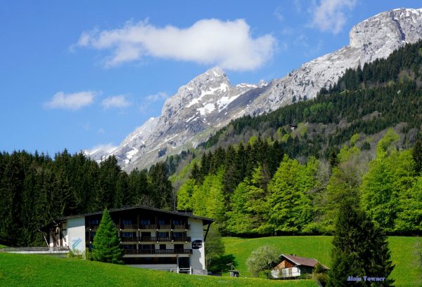
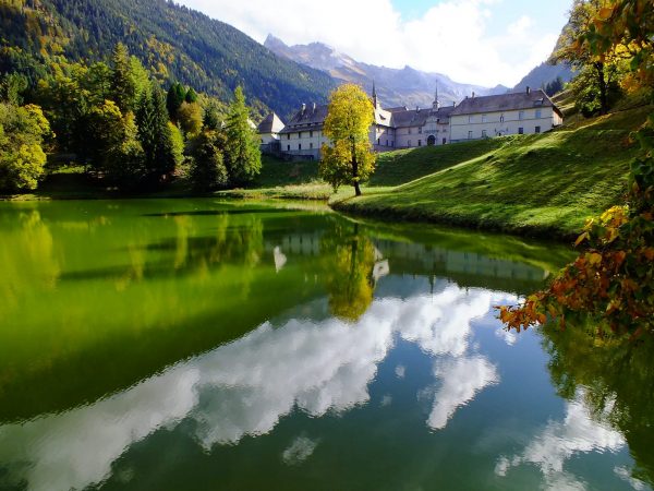
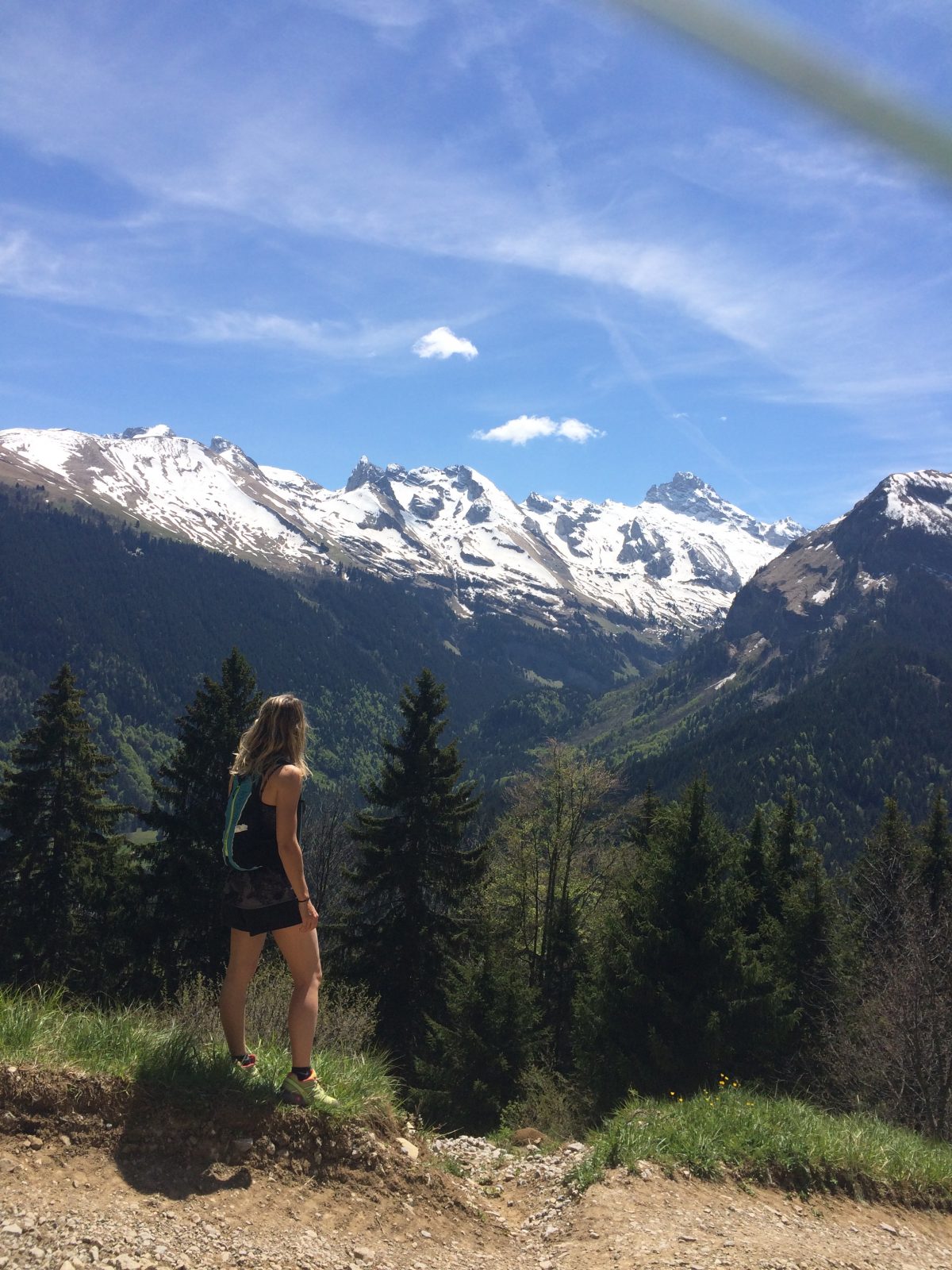
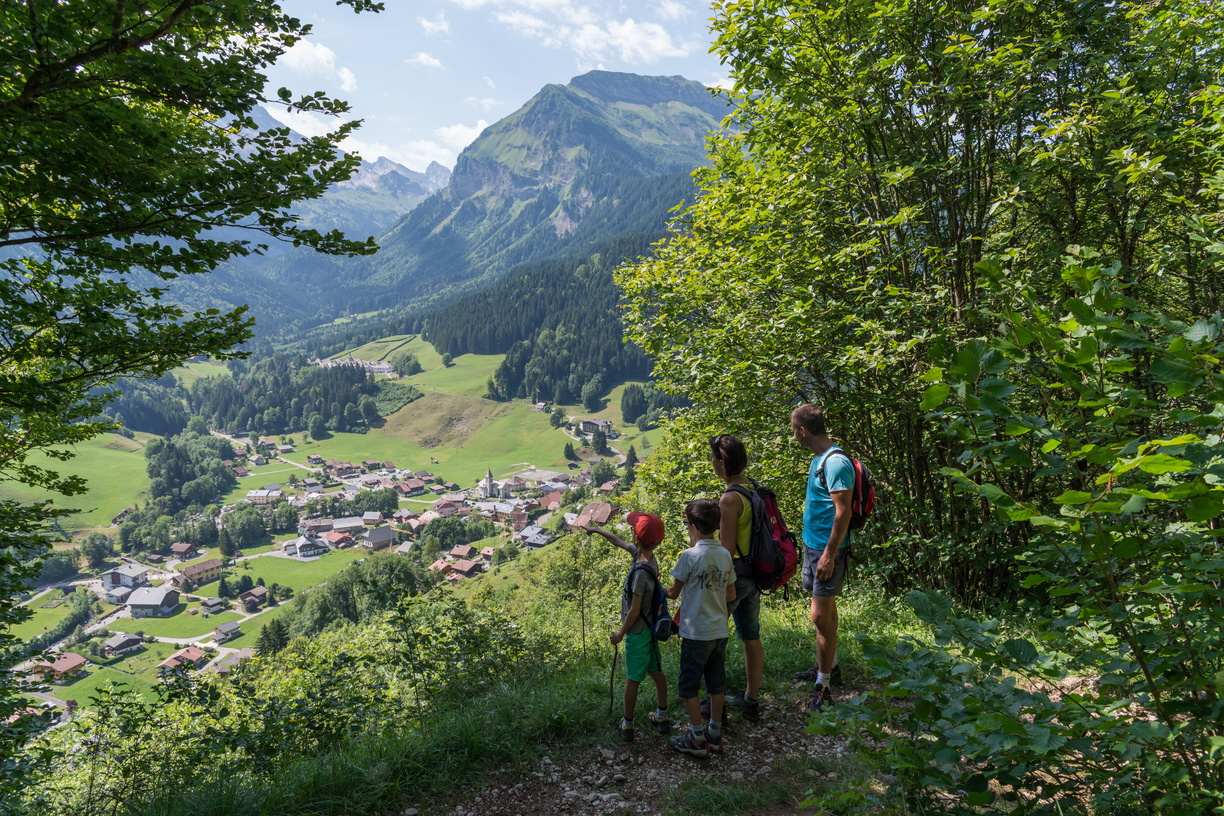
This easy hike is possible from 8-10 years old. You will enjoy a beautiful view of the roofs of the monastery and surrounding peaks.
Sustainable tourism
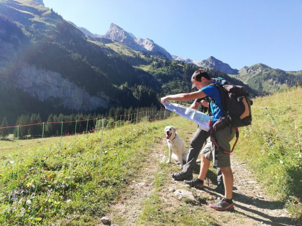
This hike is located within the Natural Zone of Ecological, Faunistic and Floristic Interest (ZNIEFF). Floristically, 500 species have been inventoried, many of which are rare and dependent on the limestone subsoil of the massif. Respect the flora and fauna already weakened by winter. Keep your dogs on a leash. Bring back your rubbish.
Topo / step by step
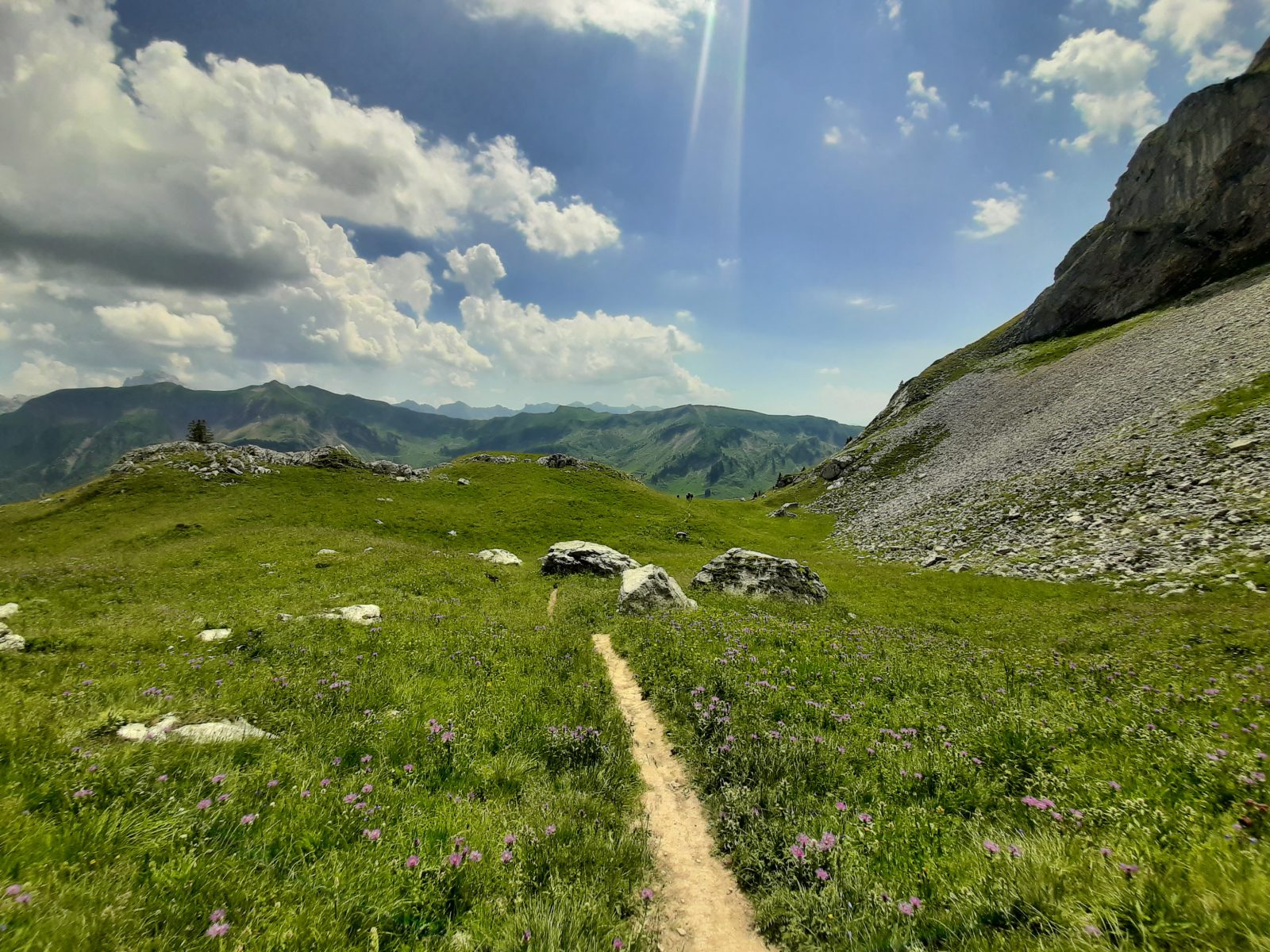
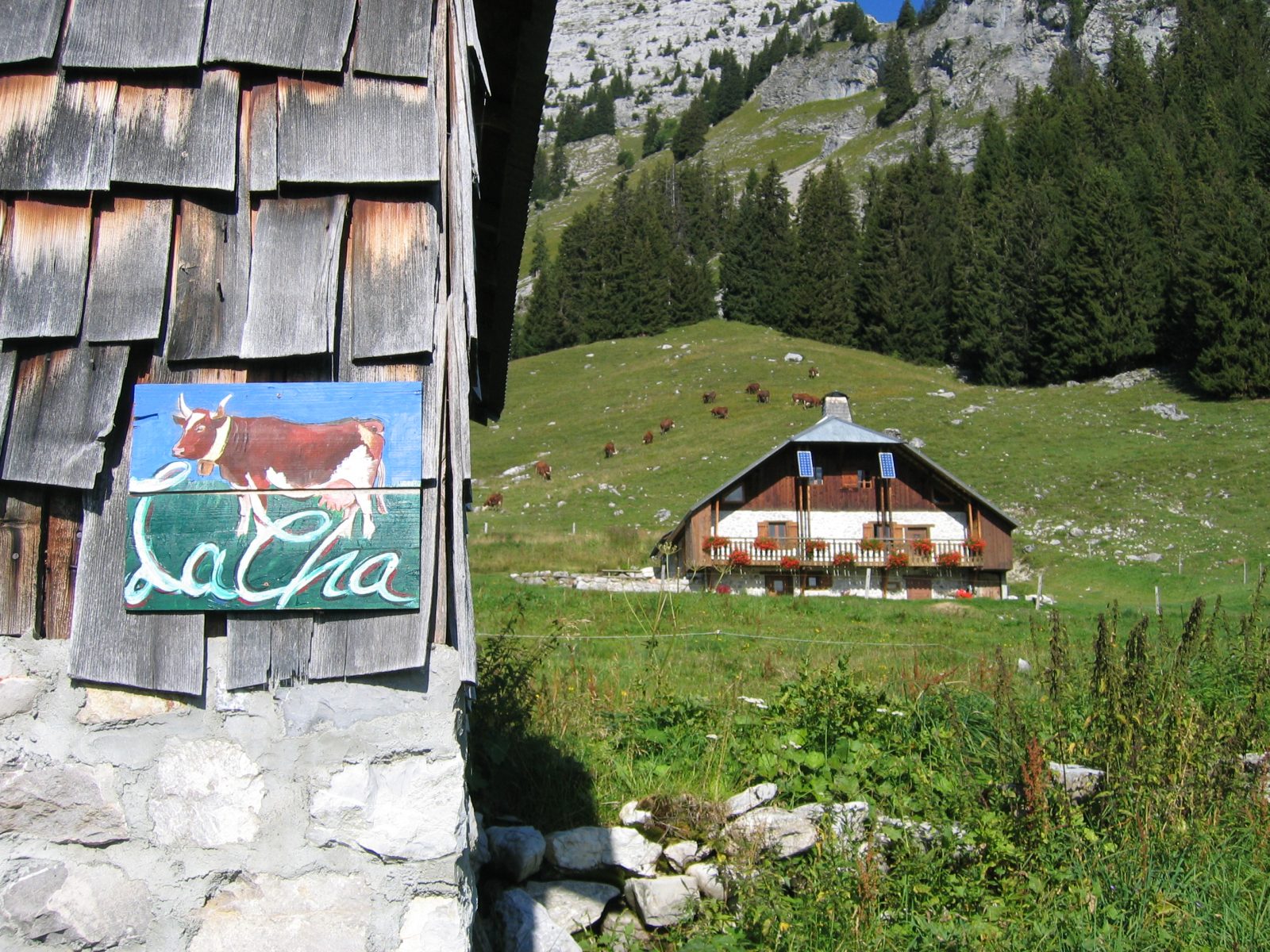
From the Church to the chalets of La Forclaz: 1h10 Cross the bridge and go up to the left on the road. In the first bend, take the path next to the house “Le Perce Neige”. It crosses the fields and the road to go opposite on the steep ascent of Bellegarde after the oratory. Follow the beacon posts in the housing estate to the Bellegarde farm. In Planzury, turn right on Chemin de La Cha via La Forclaz (2h10). From the chalets of La Forclaz to the Malatrait refuge: 1h50 At La Forclaz continue along the path which climbs steadily to the Croix Doubles; highest point of this hike (alt 1630m) before descending to the La Cha chalets and the Malatrait refuge. From the Malatrait refuge to the Church: 45 minutes (be sure to follow the beacon posts) Before Malatrait turn left to Le Reposoir via Planzury (0h45). Be vigilant because 50 meters after the panel, the beacon posts indicate to cut across the field. Follow the path that goes to the left at the edge of the forest under the telephone line. It then passes through the middle of two garage shelters, crosses the forest and the fields to bring you back to a place called Planzury. From there, take the path from the start of the hike. Please note: The hike between Bellegarde – La Forclaz – La Cha – Malatrait is within the Natural Zone of Ecological, Faunistic and Floristic Interest (ZNIEFF). On the floristic level, 500 species have been inventoried, many of which are rare and subservient to the limestone subsoil of the massif.
Route
From Cluses, take the D4 towards Le Reposoir. Park in front of the church in the center of the village.
In detail
- 46.010686
- 6.534301
- From Cluses, take the D4 towards Le Reposoir. Park in front of the church in the center of the village.
- Distance: 9.5 km
- Markup: BALISE
- Positive elevation: 660 m
- Vertical drop: 658 m
- Daily duration: 225 min
- Roaming duration: 1 day (s)
- Route type: LOOP
- Precision markings: The trail is not marked with the name of the hike. It is advisable to follow the markings indicated in the description of the hike.
- Type of land: Earth
- Nature of the ground: Gravel
- Nature of the terrain: Not suitable for strollers
Opening
Temporarily closed.
Prices
Free access. Topo rando on sale at the tourist office.
Equipments & services
Equipments
- Public toilets
Services
- Pet Friendly