Distance: 3.8 km
Duration: 125 min
Elevation: 250 m
TAG
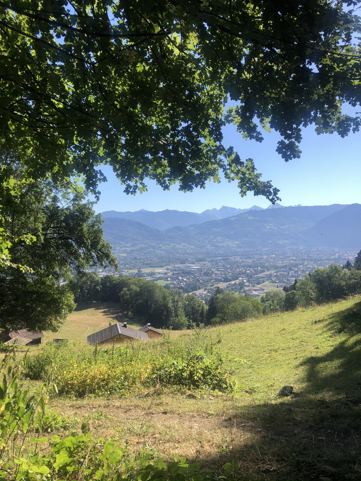
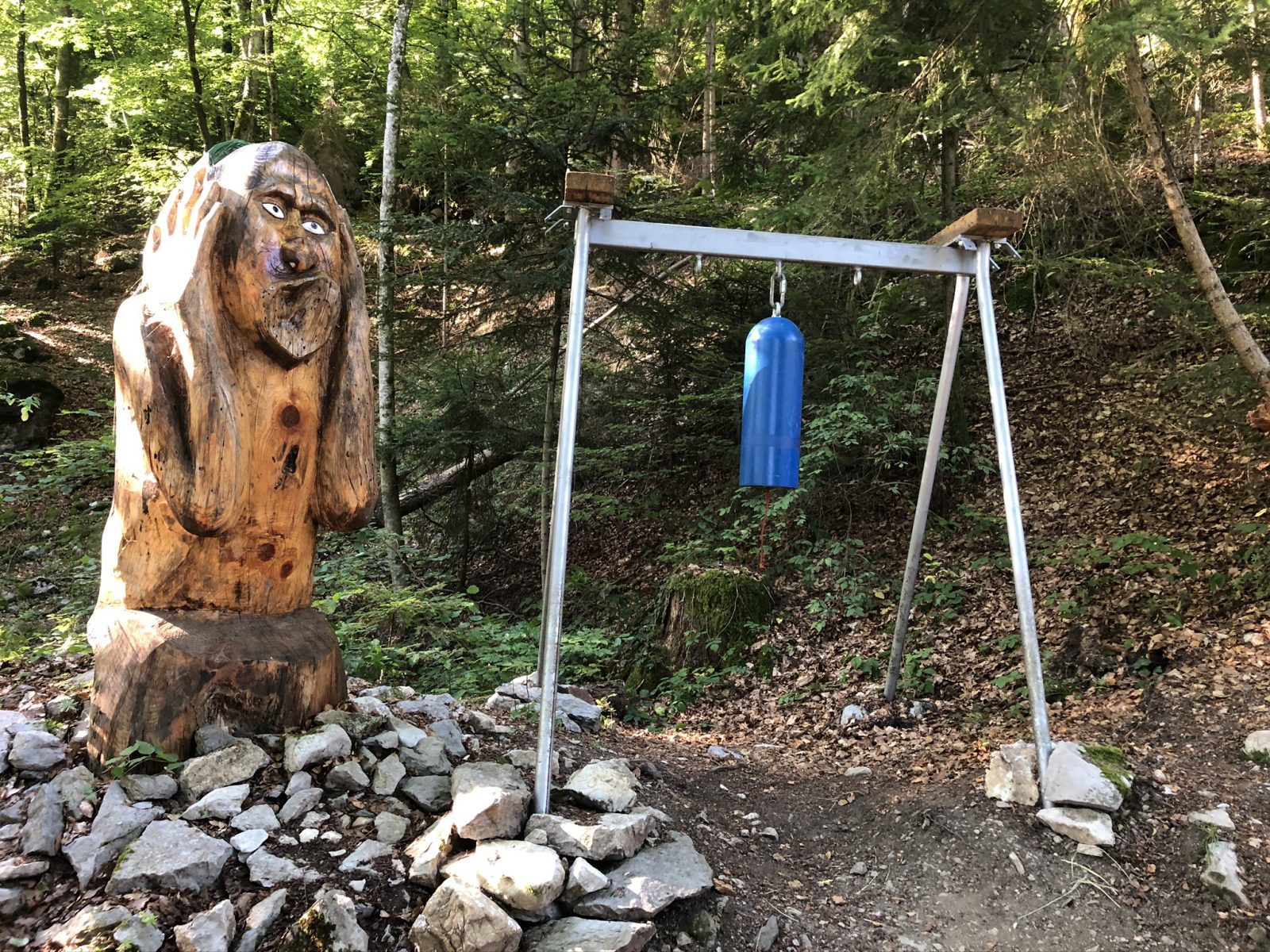
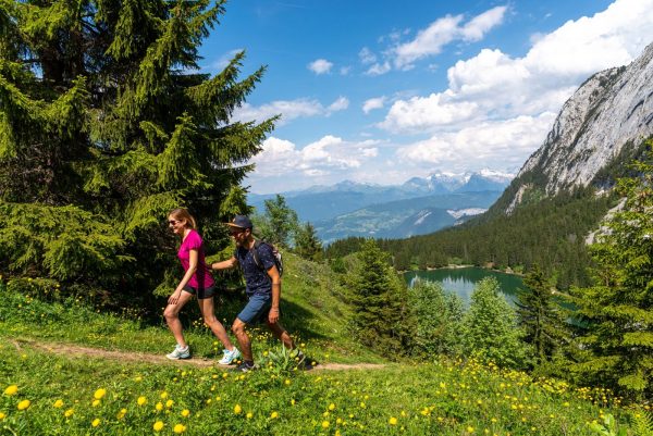
A route that crosses pastures and forests without great difficulty. A hike which will teach you about it thanks to the stages of the thematic trail of the "Vardafe" marnerote. You will be able to discover there points of view on the valley of Cluses.
Sustainable tourism
Respect the flora and fauna already weakened by winter. Keep your dogs on a leash. Bring back your trash.
Topo / step by step
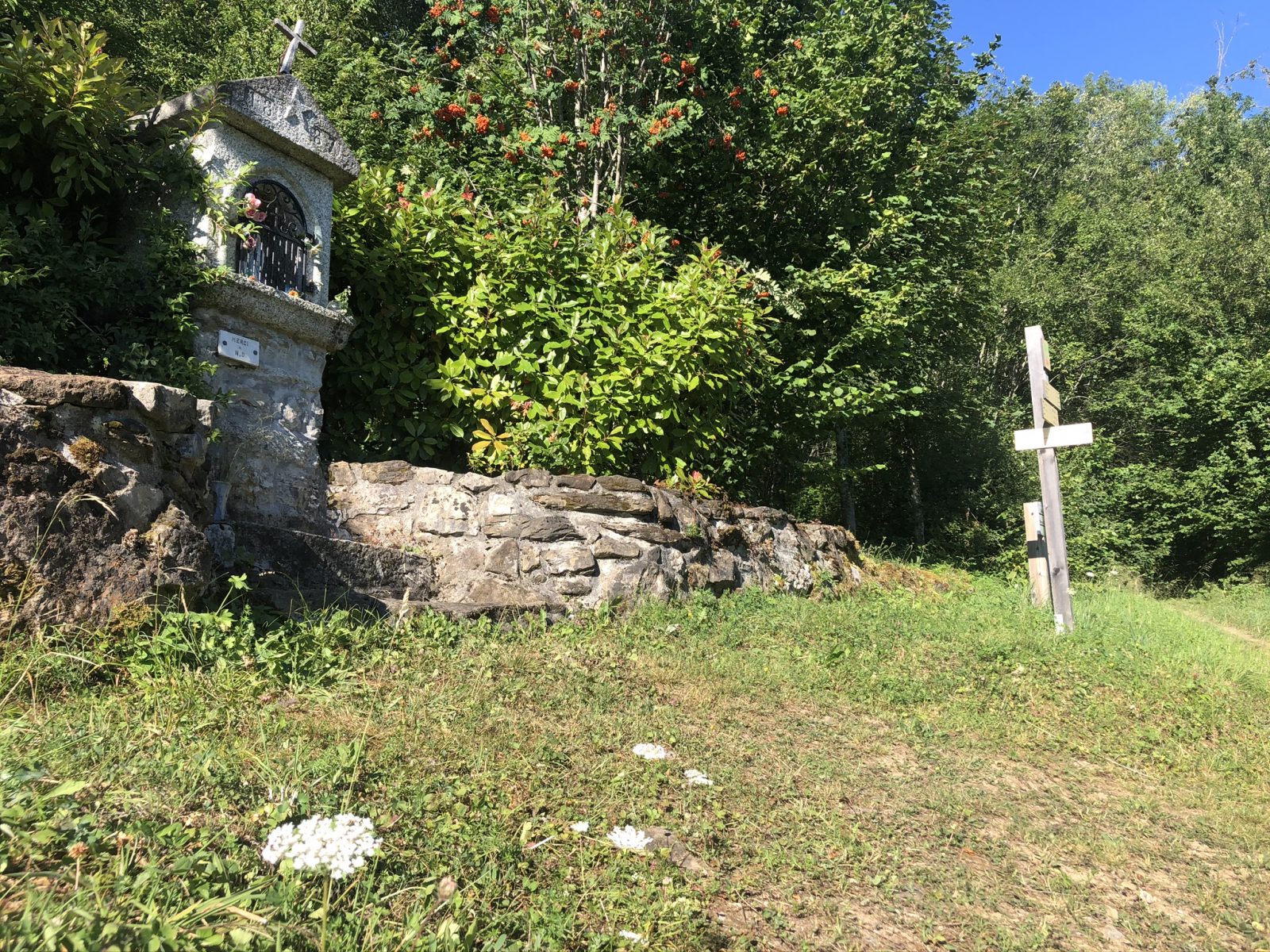
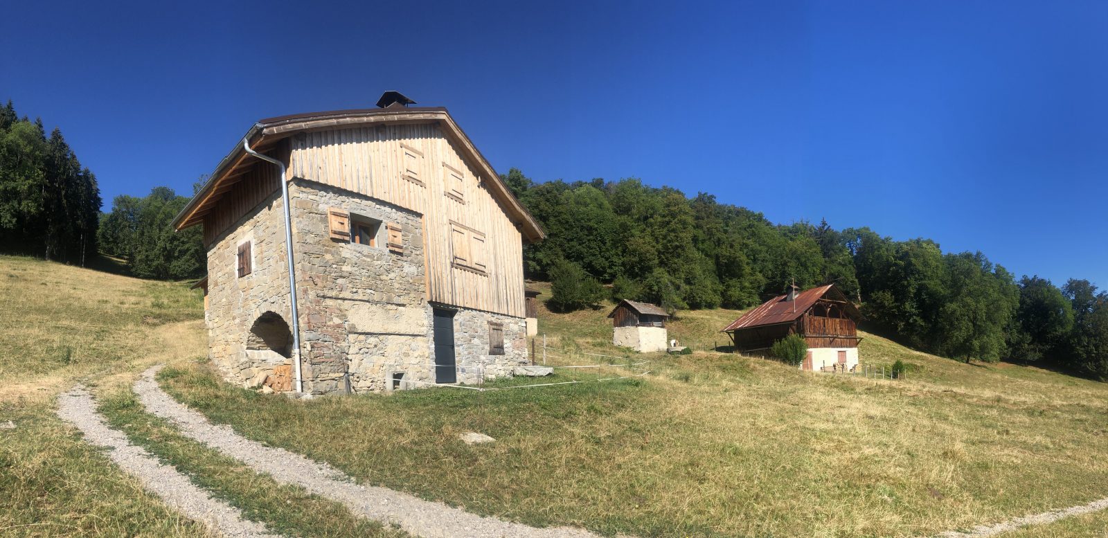
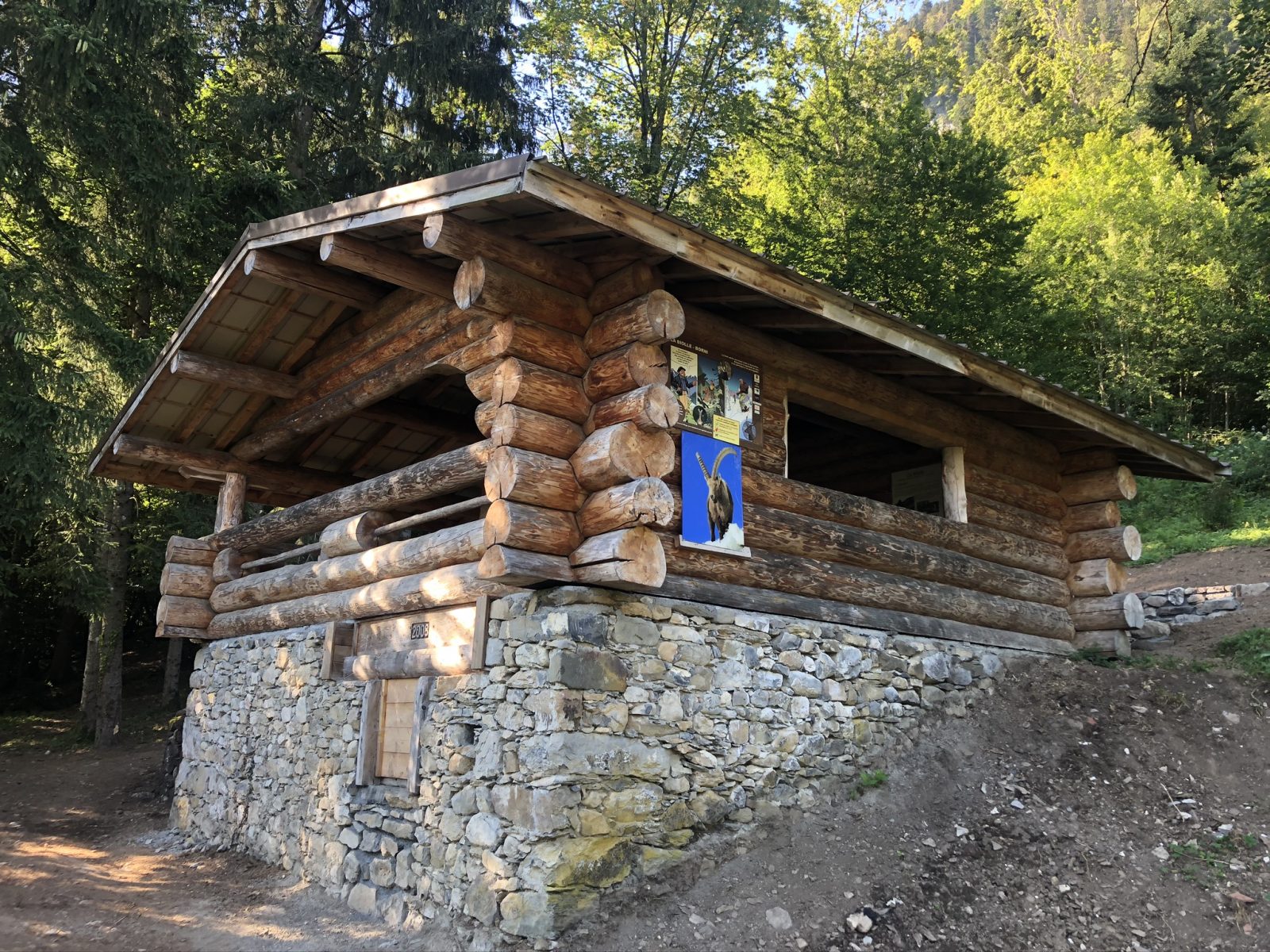
From Marnaz to the Oratory of La Biolle: 45 minutesTake the path in the forest, it climbs steadily up to the log cabin, renovated and fitted out, to discover the history of La Biolle.From the Oratory of La Biolle to La Chardaz: 15 minutesAt the Oratory (built in 1887) continue straight ahead towards Praz Bassoux. After 500 meters, take the footbridge. At the intersection, go down to the right, cross the stream and go up 500 meters to the La Chardaz sign. From La Chardaz to Praz Bassoux: 25 minutes At La Chardaz, take the direction of Praz Bassoux on the right. Follow the flat path in the forest, then you cross a field before arriving on the road. Go down the road for about 100 meters, then at the Chedde sign, take a path on your right. Descend through the field and continue into the forest. At the exit of the wood, you go straight down in the field to the chalets of Praz Bassoux. From Praz Bassoux to the Ruisseau du Chêne: 15 minutes From the chalets, go down towards the isolated tree in the field on the right. From the Praz Bassoux sign, cross the field straight to the edge of the wood. Then you pass the gate to exit the field and plunge into the forest. Cross the stream using the footbridge and continue your descent. From Ruisseau du Chêne to Marnaz-Centre: 25 minutes At the Ruisseau du Chêne sign, take the direction of Marnaz. The path in the forest becomes flat and brings you back to the parking lot of Chez Vavin then follow the road to find the start. To do more from La Chardaz: Lac Bénit. Duration 2h45 (one way)
History, culture and heritage
The name "Marnaz" comes from the soil "the marl", which is a mixture of limestone and clay. Seat of a famous typically Savoyard pottery, created in 1890 and closed in 2010, this marl was used in the manufacture of containers for domestic use.
Route
From Cluses take the Route Blanche / D1205 towards Marnaz. Take the town hall street, then follow the signs "La Ferme aux beignets". Park in the car park, at the end of Chemin de la Biolle.
In detail
- 46.058666
- 6.521263
- From Cluses take the Route Blanche / D1205 towards Marnaz. Take the town hall street, then follow the signs "La Ferme aux beignets". Park in the car park, at the end of Chemin de la Biolle.
- Distance: 3.8 km
- Markup: BALISE
- Positive elevation: 250 m
- Vertical drop: 250 m
- Daily duration: 125 min
- Roaming duration: 1 day (s)
- Route type: LOOP
- Marking precision: Path marked with directional posts (PDIPR)
- Nature of the terrain: Not suitable for strollers
- Type of land: Pebbles
- Type of land: Earth
Opening
From 01 / 04 to 14 / 11.
Prices
Free access. Topo rando on sale at the tourist office.
Equipments & services
Equipments
- Parking
Services
- Pet Friendly

