Circuit on the Coux
74440 Marignier
Distance: 12.23 km
Duration: 180 min
Elevation: 490 m
TAG
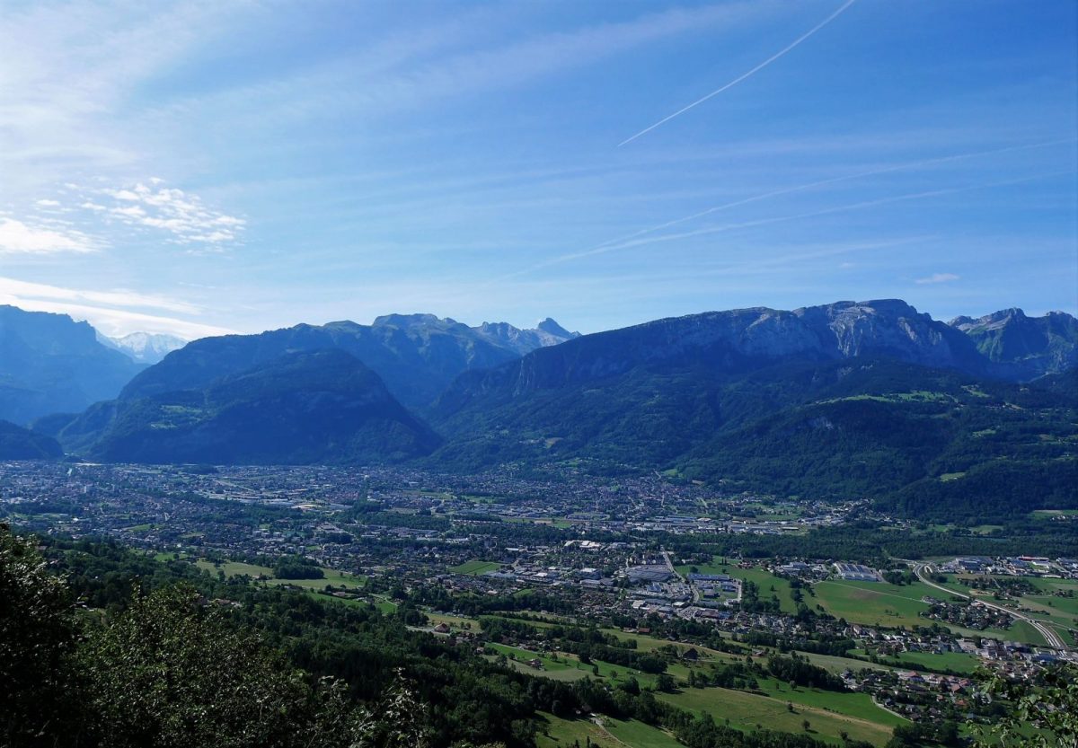
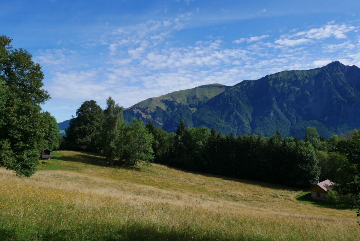
Nice loop between two valleys with beautiful views of the Pic dU Marcelly then the Bargy and Aravis ranges.
From the Mieussy village hall car park, take the Cen viaduct to the Devil's Bridge. Follow the carriage road via route d'Ivoray to cross Dessy.
The path leaves the carriage road at the exit of Dessy, at the directional blades "les touvières". The route alternates between path and road until the next village.
After Ivoray, take the direction of Le Charjou, continuing straight on the main road.
Arriving at Charjou, continue on the road track on the right. The directional signs are further away.
Cross the hamlet of Les Seujets and take the forest path which goes up between the houses, straight on leaving the road. After a nice climb in the forest, you will cross the unusual gite Sur le Coux.
Turn right, leaving Mont Orchez on the left.
Follow the Coux de Marignier on your right then Ivoray through the Gervaz woods, passing through La Biolle.
Back in Ivoray, reach the car park by the same route or via Bieully and the Devil's Bridge, turning left at Les Touvières.
Additional Information :
Intermediate
Route
Departure point: Village hall, Mieussy. Place of arrival: Village hall, Mieussy. Recommended parking: Village hall, Mieussy. Summer shuttle from Montagne du Giffre: https://www.agilbus.fr/jacquet
In detail
- Departure point: Village hall, Mieussy. Place of arrival: Village hall, Mieussy. Recommended parking: Village hall, Mieussy. Summer shuttle from Montagne du Giffre: https://www.agilbus.fr/jacquet
- Distance: 12.23 km
- Markup: BALISE
- Positive elevation: 490 m
- Vertical drop: 490 m
- Daily duration: 180 min
- Route type: LOOP
- Delicate passages: Always be careful and plan ahead when hiking. Asters CEN-74 is not held responsible in the event of an accident or any inconvenience occurring on this circuit.