
Distance: 4.7 km
Duration: 135 min
Elevation: 497 m
TAG
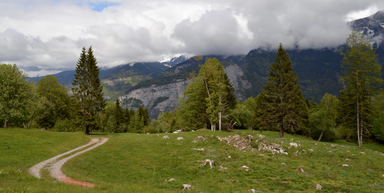
A pleasant hike in the middle of a calm and wild nature. Located on the Aravis chain, Les alpages de Mont-Ferront is in an area
natural (ZNIEFF): we can therefore see a great diversity of birds in this sector.
History, culture and heritage
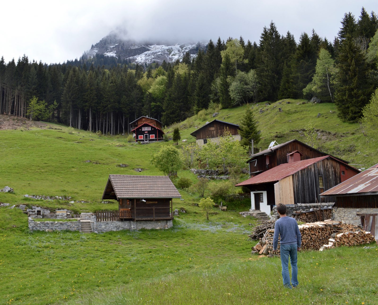
The chapel of Mont-Ferront is actually an oratory. It was built in 1954 and inaugurated on August 8 of the same year by Abbot Mopty de Sallanches who was mounted for his blessing.
Sustainable tourism
Respect the flora and fauna already weakened by winter. Keep your dogs on a leash. Bring back your trash.
Topo / step by step
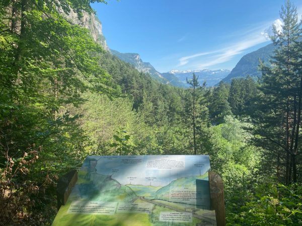
From Chéron to Creux de Varny: 45 minutes From the chapel, take the paved road on the left. Go up to the last house, and at the end of the road, take on your left, the path which goes up in the forest. Then, follow the white and red markings of the GR 96. At the first intersection, turn right. After about 30 minutes of climbing, you will reach a car park, the Creux de Varny. From the Creux de Varny to Mont-Ferront: 35 minutes Behind the explanatory panel, climb the “monotrace” path which climbs into the forest. Cross the forest road and take the path opposite. After about 30 minutes of walking, you will reach the mountain pasture. The Notre-Dame des Chalets chapel in the Mont-Ferront pasture is actually an oratory, erected in 1954. Continue on the path to take a little height and admire the panorama. From Mont-Ferront to Chéron: 50 minutes Return by the same route.
Route
From Cluses, take the D1205, direction Sallanches. At the entrance to the village of Magland, at the roundabout, take the route du Crêtet on your right, cross the highway bridge, then the bridge over the Arve river. At the intersection in the hamlet of Villards, turn right onto the road to Mont-Ferront. Cross several hamlets. At a place called “les Ranziers”, take the “Moranche” road to the left. Then in Moranche, turn right, the route de Chéron. Enter the hamlet of Chéron, and you can park in the parking lot of the little chapel (little space).
In detail
- 45.993198
- 6.611761
- From Cluses, take the D1205, direction Sallanches. At the entrance to the village of Magland, at the roundabout, take the route du Crêtet on your right, cross the highway bridge, then the bridge over the Arve river. At the intersection in the hamlet of Villards, turn right onto the road to Mont-Ferront. Cross several hamlets. At a place called “les Ranziers”, take the “Moranche” road to the left. Then in Moranche, turn right, the route de Chéron. Enter the hamlet of Chéron, and you can park in the parking lot of the little chapel (little space).
- Distance: 4.7 km
- Markup: BALISE
- Positive elevation: 497 m
- Vertical drop: 497 m
- Daily duration: 135 min
- Type of route: GO_RETOUR
- Marking precision: Path marked with directional posts (PDIPR)
- Nature of the terrain: Not suitable for strollers
- Nature of the ground: Gravel
- Type of land: Earth
Opening
From 01 / 04 to 15 / 11.
Subject to favorable weather conditions.
Prices
Free access. Topo rando on sale at the tourist office.
Equipments & services
Services
- Pet Friendly