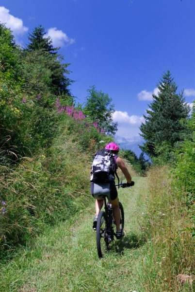
Cycle touring loop "Discovery of the Agy plateau" (Nature loop)
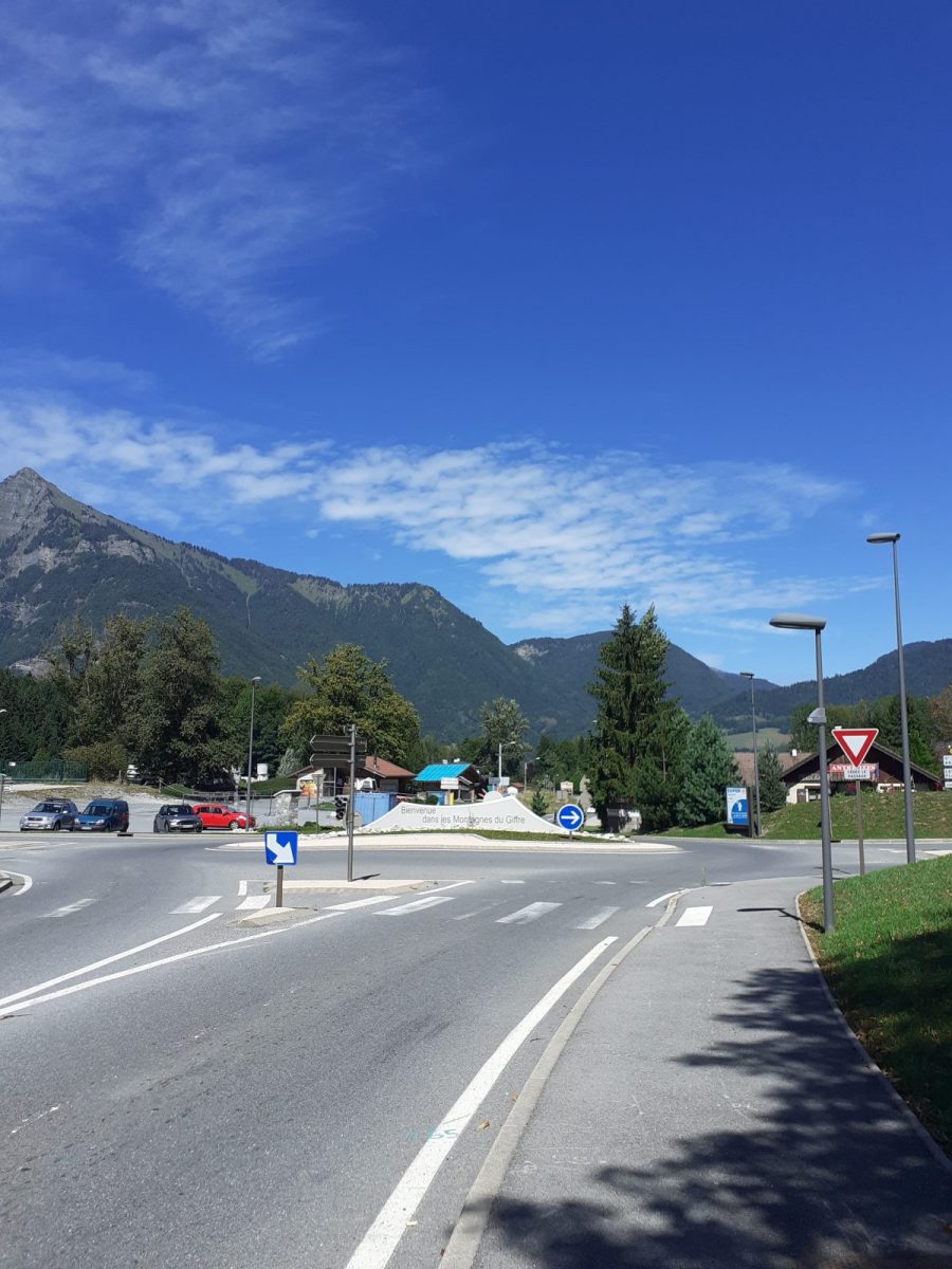
Departure from Grand rue
74300 Cluses
Distance: 26 km
Duration: 90 min
Elevation: 884 m
NOT_TAGGED
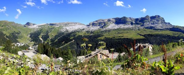
This route is aimed at athletes. From Cluses, you will go up to the village of Saint-Sigismond and its magnificent plateau which offers you a breathtaking view of the Arve valley.
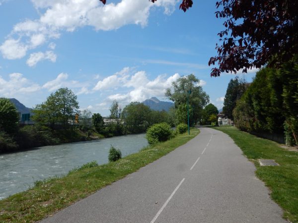
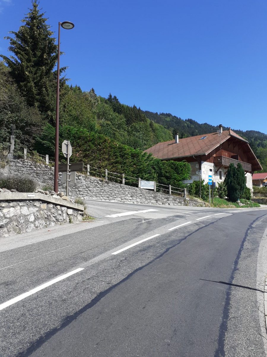
Take the D902 which crosses the center of Cluses. At the Carrefour de l'Europe, at the Allobroges roundabout and at the Charles Poncet high school roundabout, continue straight ahead. Cross the train tracks. At the intersection of rue des Grands Champs, turn right towards avenue de Chatillon. At the 3rd bend, turn right towards Route de la Côte. This old road takes you away from heavy traffic and allows you to enjoy the view of Cluses, its valley and the Bargy range in the distance. At the end of the climb, look up! The Saint-Martin church awaits you there. Continue on your way and take the D902 again. At the roundabout take the first right, direction Saint-Sigismond, Arâches la-Frasse, Les Carroz d'Arâches. Continue on the D6 (route d'Arâches) for 4km. When you arrive in the village of Saint-Sigismond, turn left (D206 - route d'Agy). This takes you to your point of arrival: the Agy plateau. The appointment is made with nature and its breathtaking 360° landscape. The return is by the same route.
Portrait
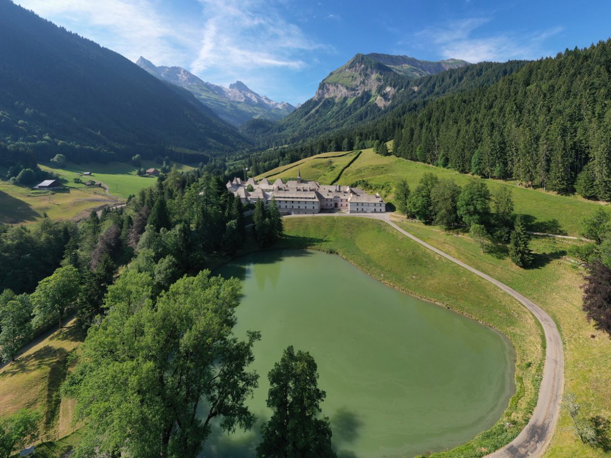
Departing from Cluses, reach the beautiful village of Reposoir where you can discover its Carmel. Continue your ascent to the Col de Romme, made famous by the Tour de France, then descend to Cluses via the panoramic road.
Route
In detail
- 46.058968
- 6.580518
- Distance: 26 km
- Markup: NON_BALISE
- Positive elevation: 884 m
- Vertical drop: 884 m
- Daily duration: 90 min
- Roaming duration: 1 day (s)
- Type of route: GO_RETOUR
- Type of land: Hard surface (tar, cement, floor)
Opening
All year.
Equipments & services
Equipments
- Parking
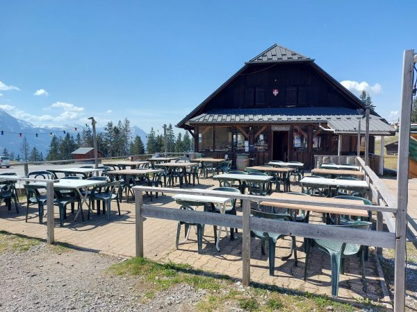
- Bar