Distance: 4.4 km
Duration: 95 min
Elevation: 238 m
TAG
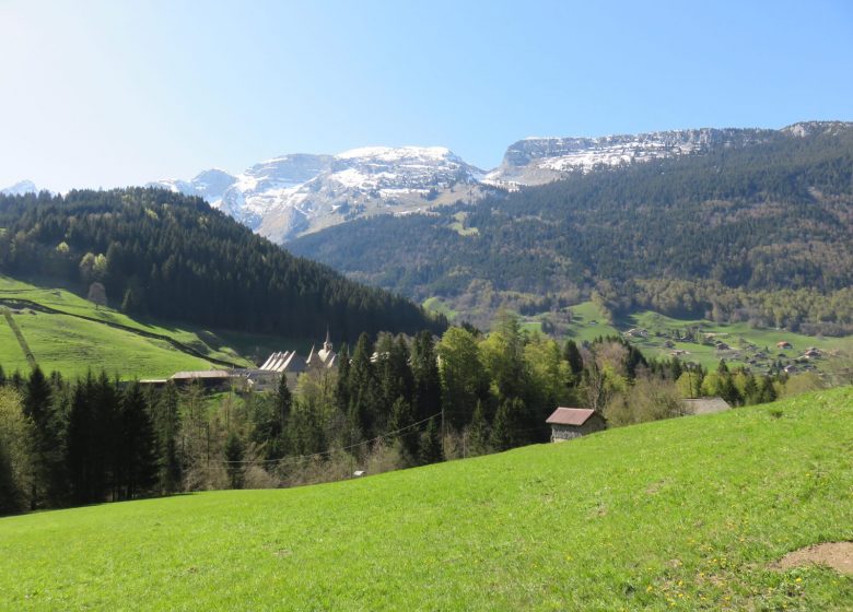
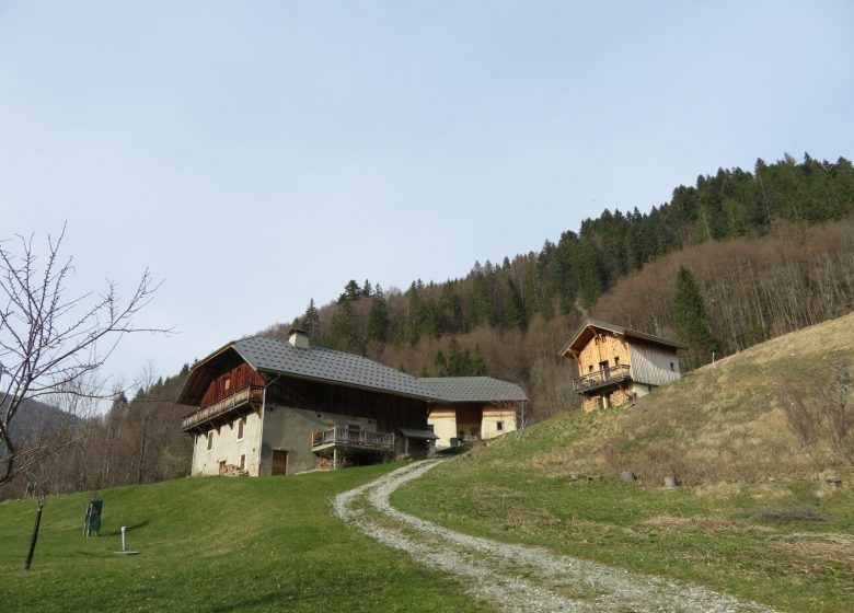
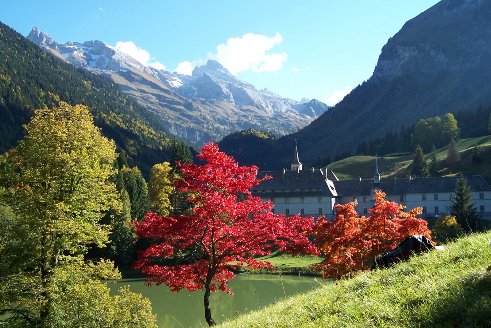
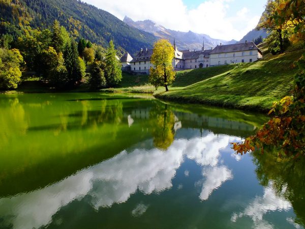
An easy to access hike with just one difficult section (steep climb). There is something for everyone: lake, forest, panorama of the mountains surrounding Le Reposoir.
Sustainable tourism
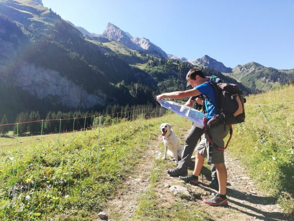
Respect the flora and fauna already weakened by winter. Keep your dogs on a leash. Bring back your trash.
Topo / step by step
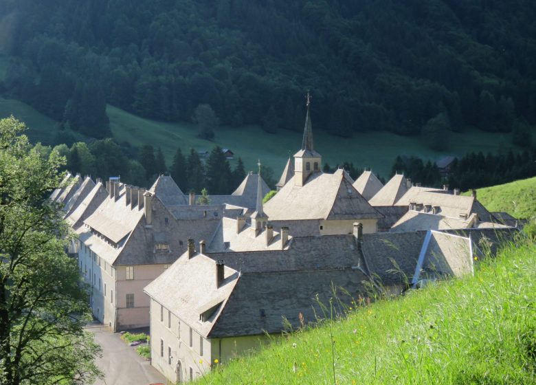
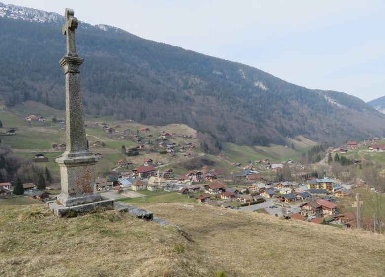
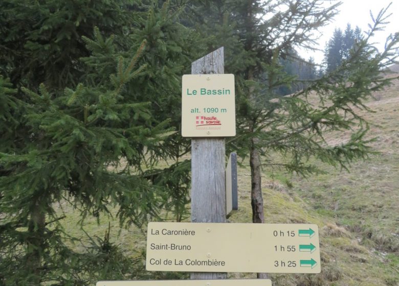
From the church in Le Châble: 25 minutes Take the road to Prariand and take the 1st left, "Chemin de la Chapelle". Follow the direction of Le Châble straight ahead, cross the concrete bridge and climb the forest path to the Ferme d'en Haut. Continue on the path that runs along the farm on the left and continue the climb in the woods to Le Châble. From Châble to Vallon: 30 minutes Take the direction of Vallon, continuing on the path that descends towards Saint Anthelme. Cross the hamlet of Saint Anthelme and descend without leaving the forest road to the sign for the Oratory. Continue in the direction of Vallon. From Vallon to the Chartreuse du Reposoir: 20 minutes Turn to your right and follow the direction of “Bassin”. You pass in front of the Ferme de Vallon, continue to the Cross. Take the path that goes up on your left, behind the Cross. Continue on this path which goes up in the woods, cross the wooden footbridge and pass in front of the Bassin. Leave the woods and continue the descent towards the Chartreuse du Reposoir. From the Chartreuse du Reposoir to the church: 20 minutes Go down the road along the Lac du Carmel. Take the path on the left to return to the undergrowth. Continue to the Croix de Fréchet and go down again on the path, then the road towards the village of Le Reposoir and the church.
Route
From Cluses, take the D4 towards Le Reposoir. Park in front of the church, on the village square.
In detail
- 46.011078
- 6.534747
- From Cluses, take the D4 towards Le Reposoir. Park in front of the church, on the village square.
- Distance: 4.4 km
- Markup: BALISE
- Positive elevation: 238 m
- Vertical drop: 236 m
- Daily duration: 95 min
- Roaming duration: 1 day (s)
- Route type: LOOP
- Marking precision: Path marked with directional posts (PDIPR)
- Nature of the terrain: Not suitable for strollers
- Type of land: Pebbles
- Type of land: Earth
Opening
From 01 / 04 to 15 / 11.
Equipments & services
Equipments
- Public toilets
- Parking
- Free parking
Services
- Pet Friendly
- Motorhomes allowed

