All routes
The Rochers de Leschaux - Hiking
Distance: 11.7 km
Duration: 240 min
Elevation: 685 m
TAG
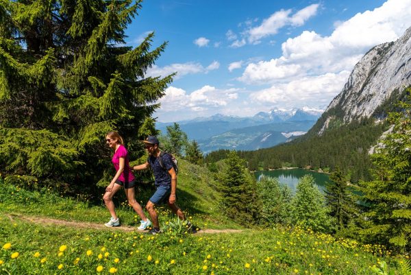
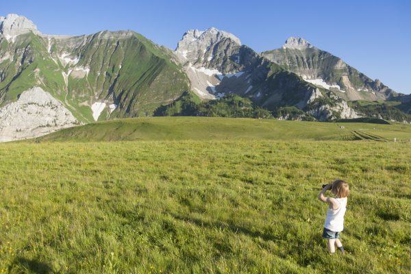
A hike starting from Mont-Saxonnex requiring good physical condition. The route is long but not difficult on the technical side. At the top, a nice panorama awaits you on the Jalouvre.
Topo / step by step
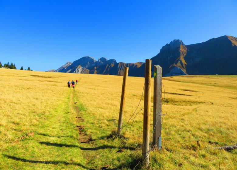
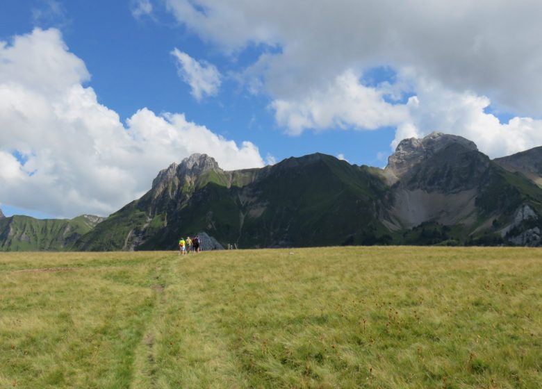
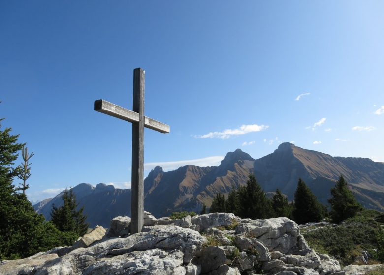
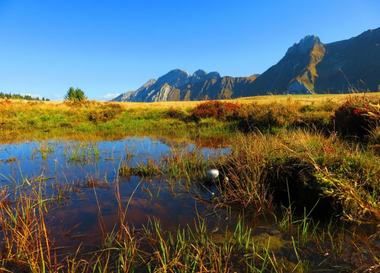
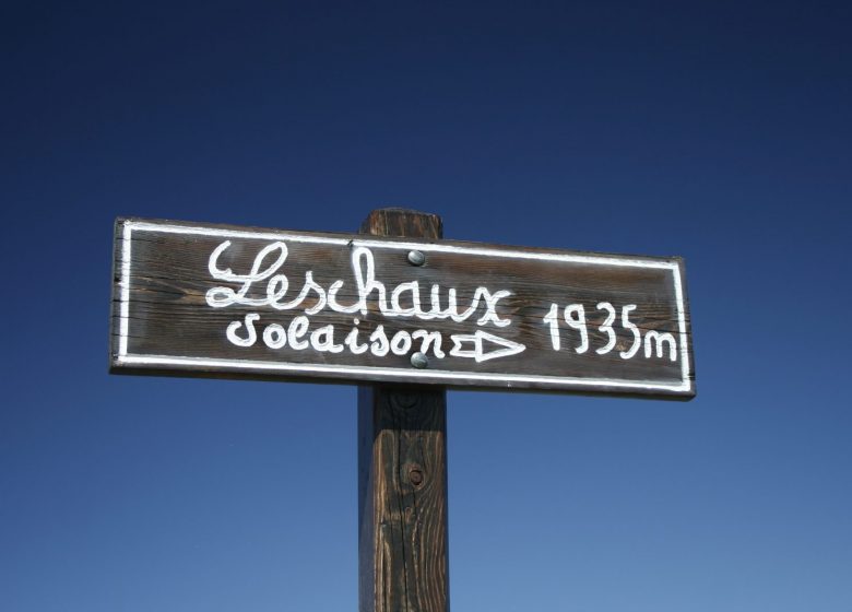
From Frachets to the Col de Cenise: 25 min. Continue on foot on the logging road which starts in front of the Frachets farm. The climb is gentle on a wide track. We cross the pastures to the cross of Felay. From the cross, continue on the path where the vast plateau and the pass are revealed between the Rochers de Leschaux on the right and the Bargy range on the left. From the Col de Cenise to the Rochers de Leschaux: 1h20 Continue in the direction of the “Rochers de Leschaux”, cross the pasture and walk along the rocks to the sign which will indicate the “Rochers de Leschaux”. The route continues through the Lapiaz (crevassed limestone rock). You will pass by cairns made by passionate walkers. Arrived at the cross, you are at the top of the Rochers de Leschaux from where you can admire an impregnable panoramic view. From the Rochers de Leschaux to the Plateau de Solaison: Take the direction of Solaison, the path descends into a valley. You will find some slightly steep passages where the help of the hands can be useful. It is not uncommon to come across ibexes in this area. The path taken runs along a cliff and descends into a spruce forest. Continue towards the pastures and cross them. From the Solaison plateau to the Col de Cenise: 1h 05 Once you have arrived on the Solaison plateau, take the direction of the “Grotte de la Glacière” passing near the Rocailles restaurant.- Avoid if the ground is wet- The path winds through a forest. The climb along the cliff requires some vigilance: the path is steep and sometimes slippery and you will have to cross several crevassed lapiaz. You will pass in front of the “Grotte de la Glacière” chasm sheltering an almost permanent snowfield from which escapes a current of icy air. Arrived at Perthuis, follow the direction of the Col de Cenise. Once at the pass, take the direction of Petit-Bornand to the Cenise chalets where you will find your starting point. This hike can be done in the opposite direction, but it is then a little more technical.
Route
From Cluses, take the direction of Mont-Saxonnex. Go through the village. After the "Le Jarbay" residence, be vigilant and turn left towards Route de Morsullaz (chairlift). Follow this road for 8 kilometers and pass the Auberge de la Pointe du midi. After the switchbacks, the road ends at the Frachets farm.
In detail
- 46.027575
- 6.464821
- From Cluses, take the direction of Mont-Saxonnex. Go through the village. After the "Le Jarbay" residence, be vigilant and turn left towards Route de Morsullaz (chairlift). Follow this road for 8 kilometers and pass the Auberge de la Pointe du midi. After the switchbacks, the road ends at the Frachets farm.
- Distance: 11.7 km
- Markup: BALISE
- Positive elevation: 685 m
- Vertical drop: 685 m
- Daily duration: 240 min
- Roaming duration: 1 day (s)
- Route type: LOOP
- Nature of the terrain: Rock
- Type of land: Earth
- Nature of the ground: Gravel
- Nature of the terrain: Not suitable for strollers
Opening
From 01 / 04 to 15 / 11.
Prices
Free. Topo rando on sale at the tourist office.
Equipments & services
Equipments
- Parking
- Free parking

