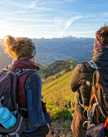
Fancy a breath of fresh air without taking the car? In the Cluses Arve & Montagnes region, hiking becomes even easier and more responsible thanks to bus lines that take you right to the trailhead. Whether you're a fan of leisurely strolls or a seasoned hiker, let yourself be transported to the starting point of your next adventure. Less stress, more nature: all you have to do is lace up your boots and enjoy the scenery!
-
Alpage et lac de l’Airon
Easy level
-
The alpine pasture, © Photo Bouilleur -
The lake, © Photo Bouilleur -
Alpine pasture and Lake Airon, © OT Les Carroz -
Alpine pasture and Lake Airon, © Cluses Arve & Mountains Tourism -
Alpine pasture and Lake Airon, © Cluses Arve & Mountains Tourism
See the route
OPEN -
-
Vers l’alpage d’Agy – Randonnée
Moderate level
-
Village, © CAMT -
Hiker, © CAMT -
Saint-Sigismond, © CAMT -
View of the valley, © CAMT
See the route
OPEN -
-
Promenade du bord d’Arve – Randonnée
Level suitable for beginners
-
Landscape, © CAMT -
Espace Carpano, © CAMT
See the route
OPEN -
-
Chevran depuis Cluses – Randonnée
Difficult level
-
Panorama of the Cluses valley, © Cluses Digital Images -
Forest trail, © CAMT
See the route
OPEN -
-
Alpage de la Biolle et de Praz Bassoux – Randonnée
Moderate level
-
View of the valley, © CAMT -
Landscape, © CAMT -
Outdoor application, © Download
See the route
OPEN -
-
Tour de l’Arbaron – Randonnée
Level suitable for beginners
-
Trail, © CAMT -
View of the valley, © CAMT -
View of the valley, © Flaine Tourist Office / M. Dalmasso -
Flaine, © Flaine Tourist Office / M. Dalmasso -
Arbaron Tower, © CAMT
See the route
OPEN -
-
Parcours géologique – Désert de Platé – Randonnée
Level suitable for beginners
-
Flaine Geological Trail, © CAMT -
Download, © Cluses Digital Images
See the route
CLOSED -
-
Aujon et son belvédère – Randonnée
Difficult level
-
Panoramic view, © CAMT -
Sign, © CAMT -
View of the Arve valley, © CAMT -
Hikers, © CAMT -
Trail, © CAMT
See the route
OPEN -
-
Promenade Au fil de l’eau – Randonnée
Level suitable for beginners
-
Trail, © CAMT -
Road sign, © CAMT -
Playground, © CAMT -
Weight training equipment, © CAMT
See the route
OPEN -
-
Montée de Châtillon par la Côte – Randonnée
Moderate level
-
Landscape, © CAMT -
Landscape, © CAMT
See the route
OPEN -
-
La Pierre à Laya
Moderate level
-
Information panel, © Les Carroz Tourist Office -
La Pierre à Laya, © Les Carroz Tourist Office -
Forest trail, © Les Carroz Tourist Office
See the route
OPEN -
-
Boucle pédestre autour de Saint-Sigismond en 2 jours – Étape 2 : Croix du Chêne – Cluses
Moderate level
-
Plateau d'Agy, © CAMT -
Agy Trail, © CAMT -
View from Agy, © CAMT
See the route
OPEN -