

Distance: 4 km
Duration: 120 min
Elevation: 290 m
NOT_TAGGED
Closure due to landslide. Access forbidden.
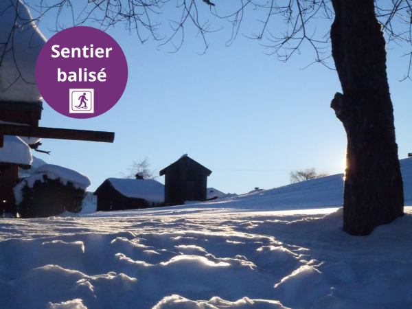
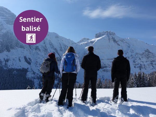
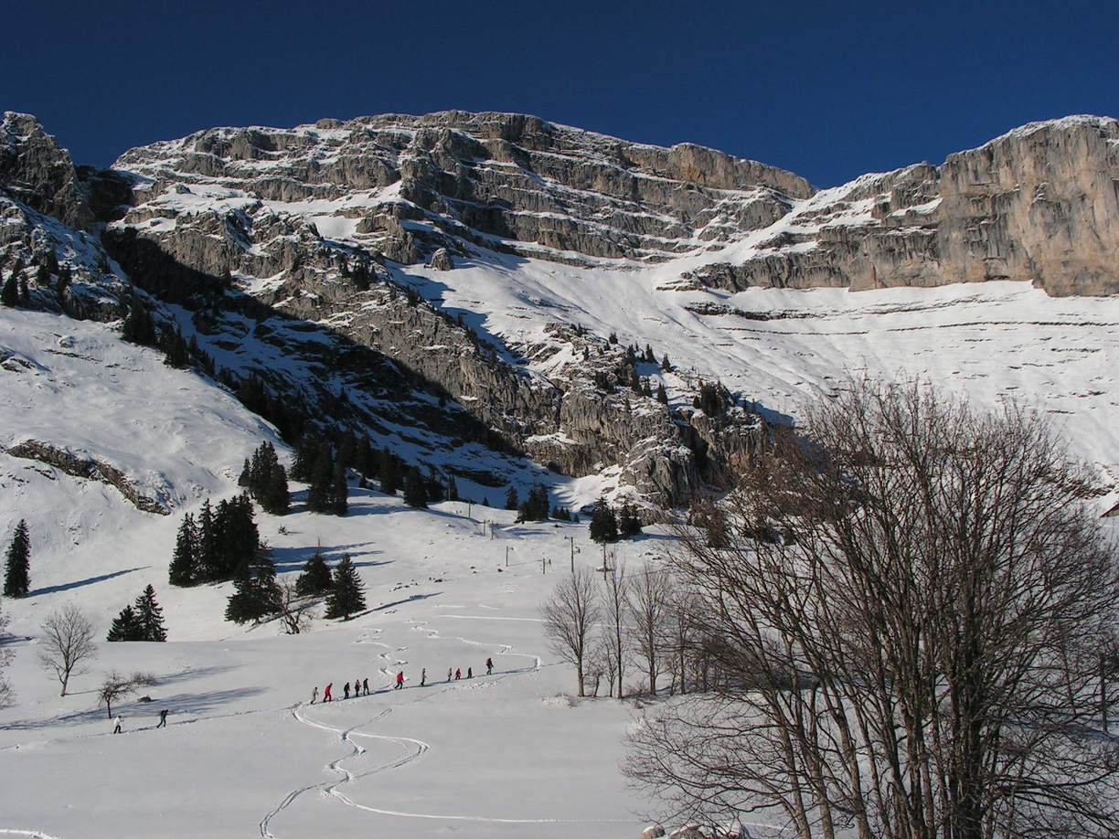
Lovely hike in the heart of the preserved Reposoir mountain pastures. You will cross through several alpine chalets. Follow the summer markings.
Topo / step by step
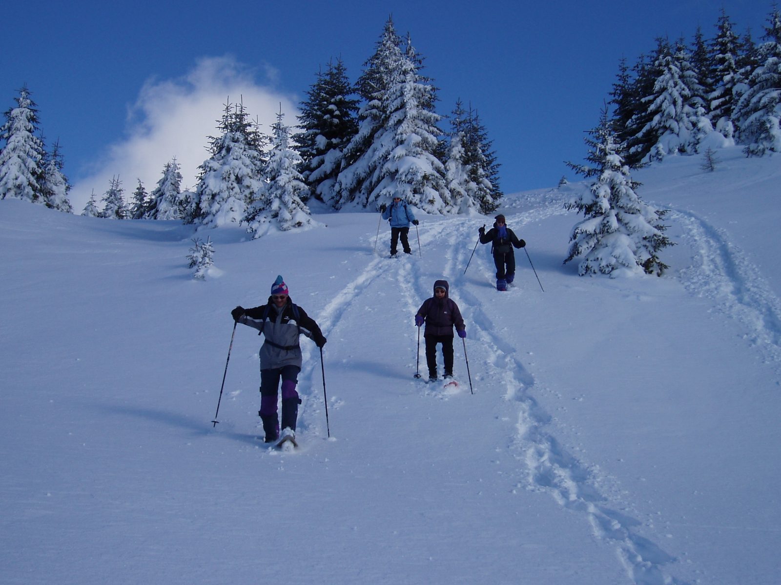
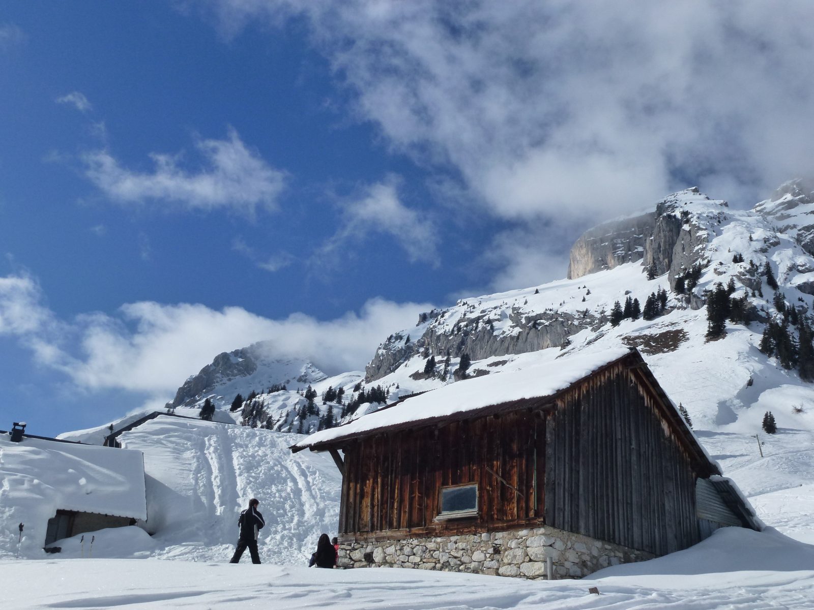
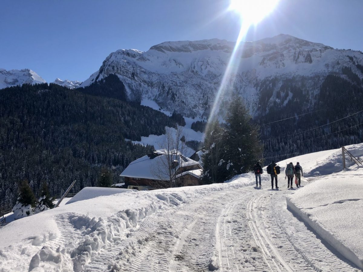
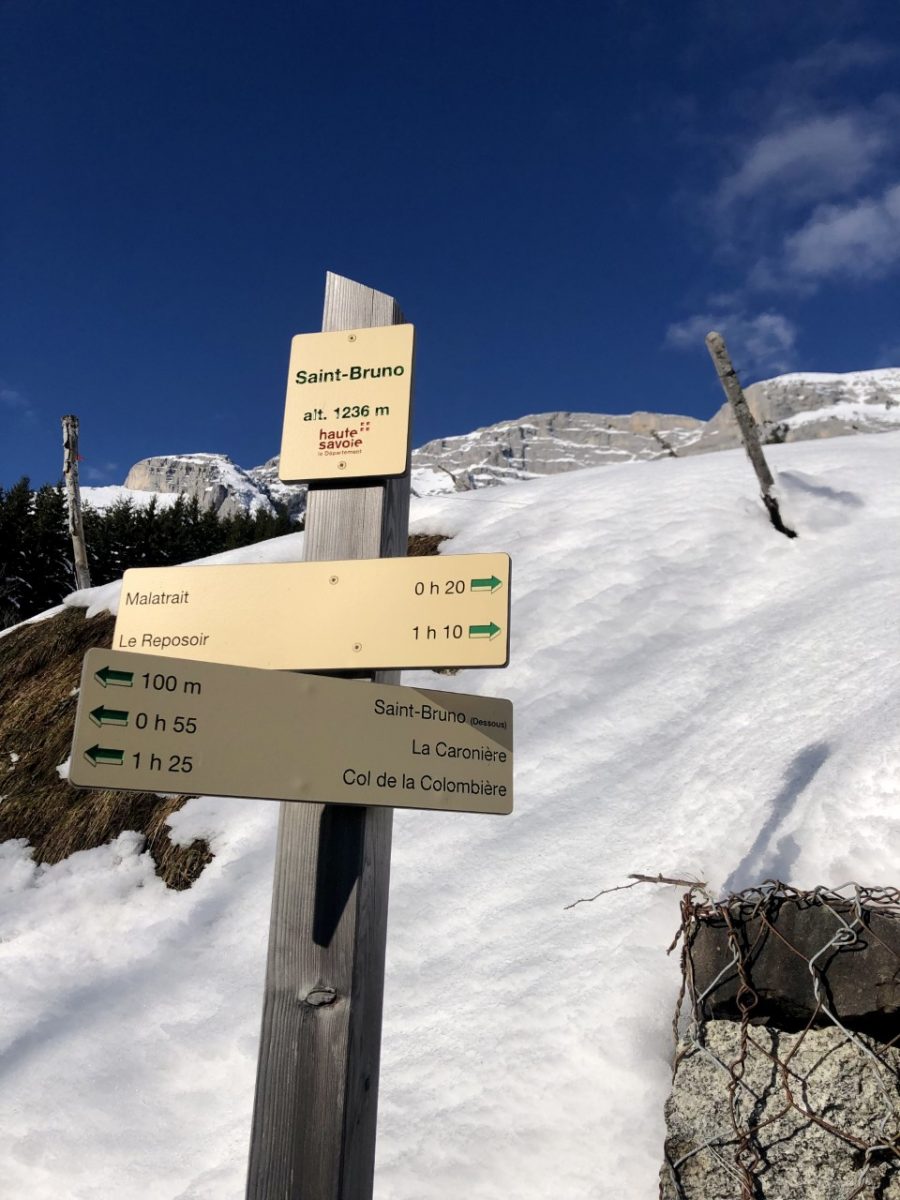
The climb begins at a place called “Saint-Bruno” near a superb old farmhouse with shingle facades. Take the 4x4 track that climbs towards “La Cha”. The path passes next to the Malatrait stopover lodge, an old residence very similar to the first sight. The path continues in the forest with a steeper climb to the chalets of La Cha. The return is on the same route.
Route
From Le Reposoir, take the road for 3 km towards Col de la Colombière. 150 m before the place called "Saint-Bruno", park in the car park along the departmental road.
In detail
- 46.004892
- 6.515322
- From Le Reposoir, take the road for 3 km towards Col de la Colombière. 150 m before the place called "Saint-Bruno", park in the car park along the departmental road.
- Distance: 4 km
- Markup: NON_BALISE
- Positive elevation: 290 m
- Vertical drop: 290 m
- Daily duration: 120 min
- Type of route: GO_RETOUR
- Nature of the terrain: Not suitable for strollers
- Nature of the terrain: Ungroomed route
Opening
Temporarily closed.
Prices
Free access. Topo rando on sale at the tourist office.
Equipments & services
Equipments
- Parking
- Free parking
Services
- Pet Friendly