Distance: 5.1 km
Duration: 140 min
Elevation: 340 m
NOT_TAGGED
Closure due to landslide. Access forbidden.
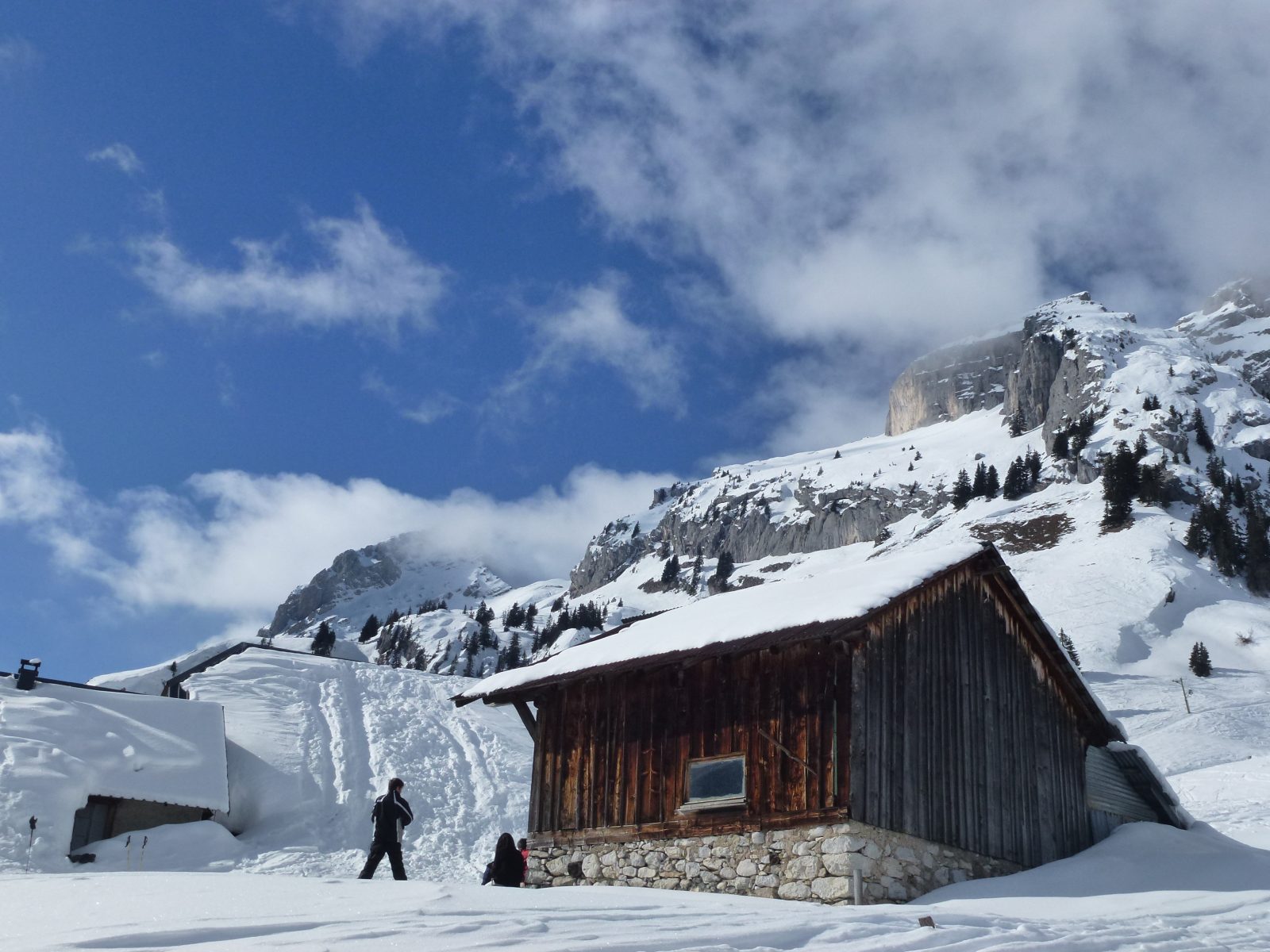
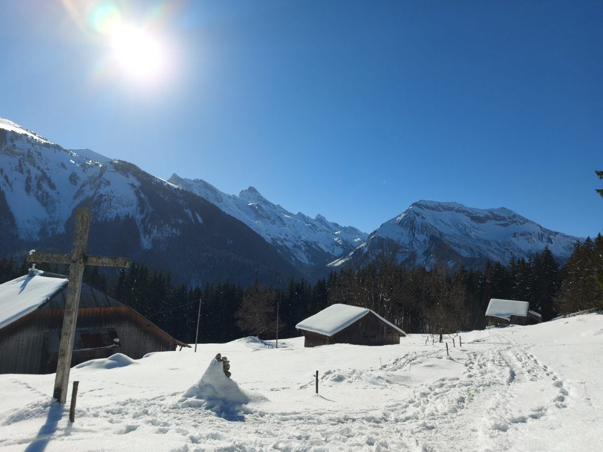
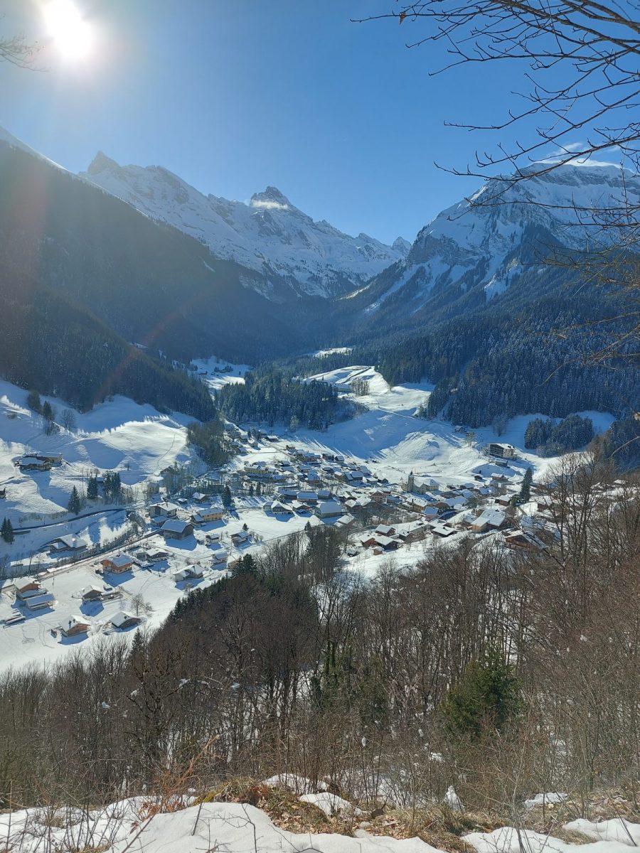
Nice hike in the forest above the village of Reposoir. You will arrive at the Forclaz mountain pastures where a lovely viewpoint awaits you. Follow the summer markings.
Topo / step by step
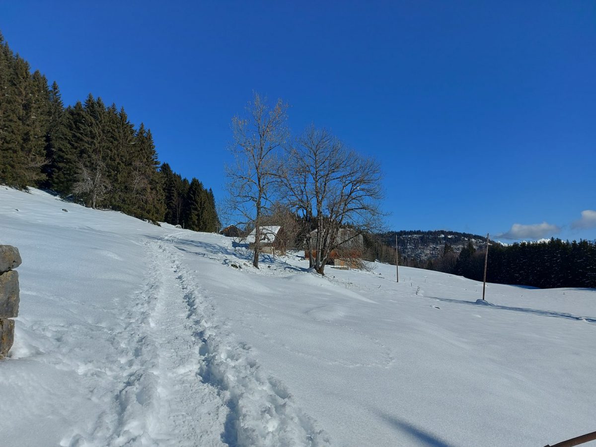
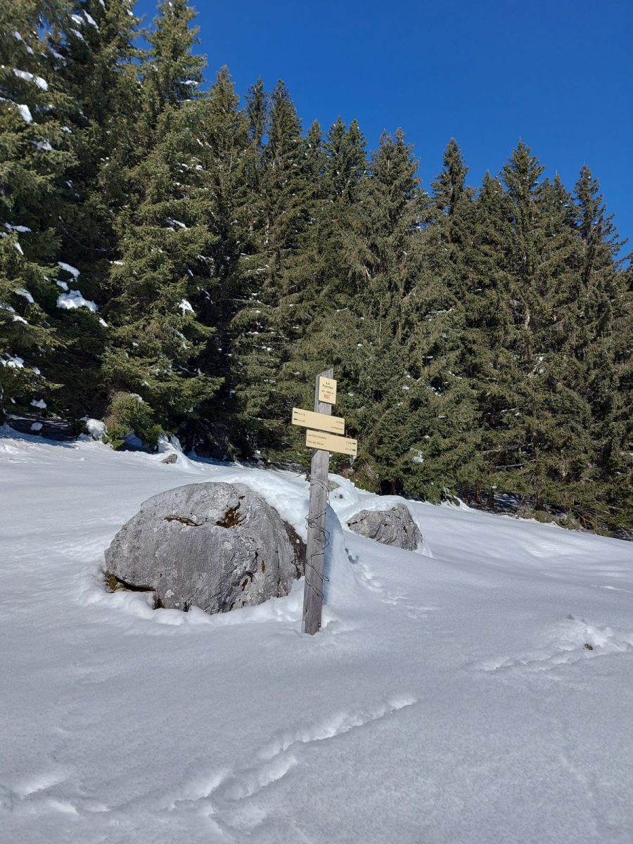
From the church, cross the bridge and go up to the left on the road. In the first bend, take the path next to the house "Le Perce Neige". He crosses the fields and the road several times. Pass the oratory, the steep climb to Bellegarde and at “Planzury”, turn right onto the path to “La Forclaz”. The wide path climbs steadily to the Forclaz chalets. The return is on the same route.
Route
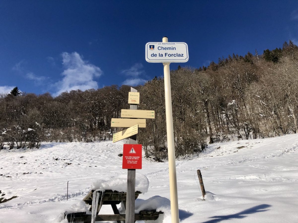
Go to Le Reposoir and take the direction of Col de la Colombière. Park at the hairpin bend in Bellegarde. The trail starts at Chemin de La Forclaz. Departure possible from the village if the snow cover allows it.
In detail
- 46.014549
- 6.532016
- Go to Le Reposoir and take the direction of Col de la Colombière. Park at the hairpin bend in Bellegarde. The trail starts at Chemin de La Forclaz. Departure possible from the village if the snow cover allows it.
- Distance: 5.1 km
- Markup: NON_BALISE
- Positive elevation: 340 m
- Vertical drop: 340 m
- Daily duration: 140 min
- Type of route: GO_RETOUR
- Nature of the terrain: Ungroomed route
Opening
From 15 / 12 to 20 / 03.
Opening depending on snow conditions.
Subject to favorable snow and weather conditions.
Prices
Free access. Topo rando on sale at the tourist office.
Equipments & services
Equipments
- Parking
- Free parking
Services
- Pet Friendly