
There are a thousand ways to discover our magnificent region, but they all begin with the same gesture: respecting the mountains. From wild nature and unspoiled landscapes to verdant gems, accessible walks, and exceptional hikes, every trail invites wonder. Find our suggestions for outings to explore these unique spaces, while adopting responsible practices to preserve their beauty for future generations.
remarkable areas to preserve
Nature is beautiful but fragile. Some places are so beautiful because of their exceptional flora and fauna that they must be protected.
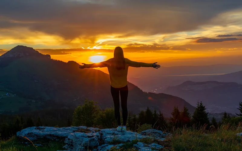
PROS AND GOOD EQUIPMENT FOR SAFE HIKING
Hiking is good, in good conditions it's better! The mountains can be unpredictable and when you set out to attack the peaks, you need to be well equipped and prepared. Do not hesitate to contact our mountain leaders or guides, they will be able to guide you.
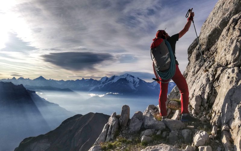
AT US, HIKING HAS ITS OWN DAY!
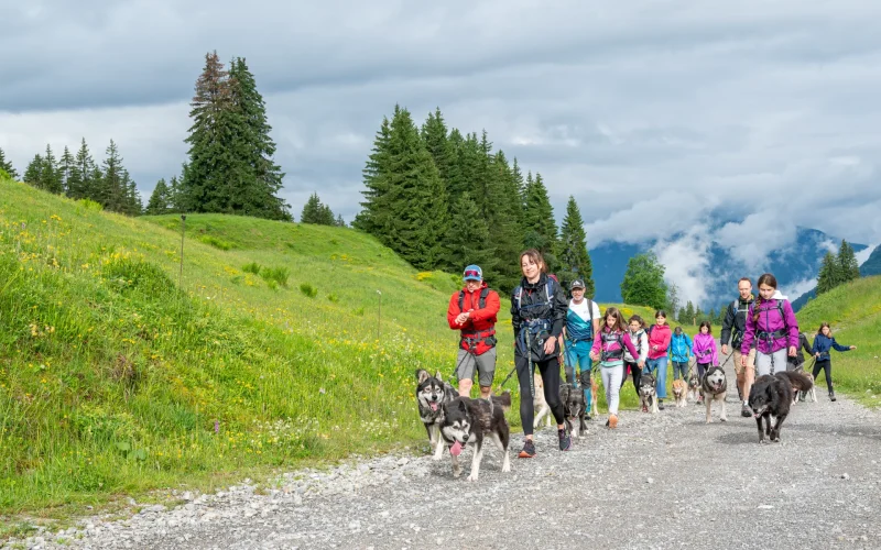
Since 2021, we've been celebrating the mountains and hiking with our "Hiking Festival." Each year, a different town hosts this event. Wellness walks, dog walks, botanical hikes, Bearded Vulture hikes… there's something for everyone. For food lovers of all ages, a 5km "gourmet walk" is available by reservation. Numerous stops along the way offer the chance to sample delicious local products. Plenty of activities in the village will keep the whole family entertained on a beautiful sunny day.
TOOLS TO GUIDE YOU
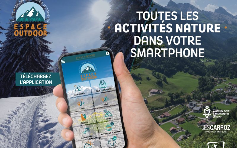
Many hikes are available on our free app. This is an opportunity to go light. Your journey follows you in your pocket.
It is available on Google Play and Apple Store.
SHARING THE MOUNTAINS: GOOD HABITS
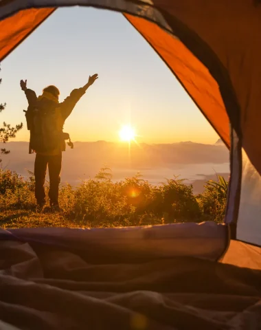
The mountains are a shared space! Whether you're encountering a flock of sheep guarded by Pyrenean Mountain Dogs in a mountain pasture or setting up camp at nightfall, every action counts. Discover our practical tips for enjoying the peaks while respecting the work of the shepherds and the tranquility of nature.


-
Itinéraire pédestre – La pointe d’Andey
Difficult level
-
Photo 1, © Faucigny Glières Tourism -
Photo 2, © Faucigny Glières Tourism -
Photo 3, © Faucigny Glières Tourism
See the route
OPEN -
-
Boucle pédestre Romme – Le Reposoir en 2 jours – Étape 2
Moderate level
-
View from the trail, © CAMT -
The Resting Place, © Charles Savouret
See the route
OPEN -
-
-
Carmel, © J. Hudry -
Landscape view, © CAMT -
Chalet de Vormy, © CAMT -
The Resting Place, © Charles Savouret
See the route
OPEN -
-
Boucle pédestre Romme – Le Reposoir en 2 jours – Étape 1
Difficult level
-
Chalet de Vormy, © CAMT -
Carmel of Repose, © J. Hudry
See the route
OPEN -
-
Boucle pédestre autour de Saint-Sigismond en 2 jours – Étape 2 : Croix du Chêne – Cluses
Moderate level
-
Plateau d'Agy, © CAMT -
Agy Trail, © CAMT -
View from Agy, © CAMT
See the route
OPEN -
-
Le sentier des Fourmis
Level suitable for beginners
-
Path under the chairlift, © Flaine Tourist Office – N.Ladrix -
Information panel about the world of ants, © Flaine Tourist Office – N.Ladrix -
Giant ants, © OT Flaine – N.Ladrix -
Trail signage, © Flaine Tourist Office – N.Ladrix -
Family reading an information panel, © Flaine Tourist Office – N.Ladrix
OPEN -
-
-
Photo 1 -
Photo 2, © CAMT
See the route
OPEN -
-
-
Photo 1, © CAMT -
Photo 2, © CAMT
See the route
OPEN -
-
La Creuse des Nants – Randonnée
Easy level
-
Photo 1, © OTCAM -
Photo 2, © OTCAM -
Download, © Cluses Digital Images
See the route
OPEN -
-
-
Themed trail, © CAMT -
Town Hall, © CAMT
See the route
OPEN -
-
-
Agy, © CAMT -
Plateau d'Agy, © CAMT -
Chevran Forest, © CAMT -
View from the trail, © CAMT
See the route
OPEN -
-
Boucle pédestre autour de Saint-Sigismond en 2 jours – Étape 1 : Cluses – Croix du Chêne
Difficult level
-
Valley view, © CAMT -
Chevran Trail, © CAMT -
View from the Chevran, © CAMT -
Valley view, © CAMT
See the route
OPEN -


